
Paraty-Mirim: The Beach, the Ruins & the Gateway South
A calm, family-friendly beach 30 minutes south of Paraty with a 300-year-old church among colonial ruins, a living Guarani village, and the pier where boats leave for Saco do Mamanguá. The quiet, historic corner of the coast.
About fifteen to eighteen kilometers south of Paraty, down a road that turns to dirt for its last stretch, is a calm, shallow beach and a scatter of old stone beside a small colonial church. This is Paraty-Mirim — "little Paraty" — a place that quietly holds a lot of the coast's history and serves as the doorway to some of its wildest corners. It's family-gentle and unhurried, it has a 300-year-old church standing among the ruins of an old port, a living Guarani village nearby, and it's the launch point for boats into Saco do Mamanguá. For a beach this easy to reach, it carries a surprising amount of depth.
This guide covers what Paraty-Mirim is, how to get there, its history and the communities who live around it, the beach itself, and how it connects to the wider coast. We've been careful with the history and respectful about the communities, and we've corrected a common misconception about which trails actually start here. For where it leads, pair this with our Saco do Mamanguá guide.
In this guide
What Paraty-Mirim is
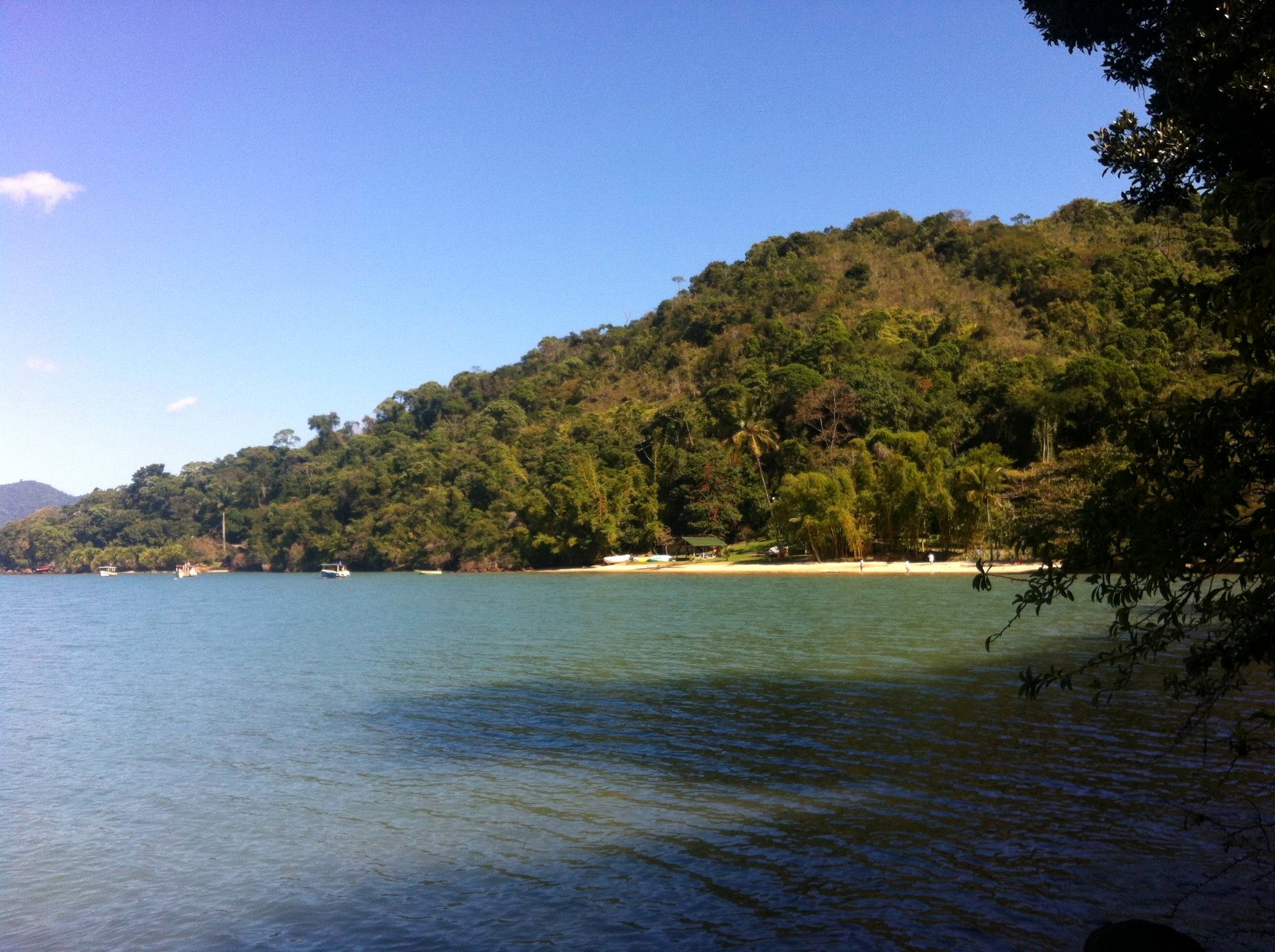
Paraty-Mirim is a small beach and historic hamlet on the coast south of Paraty town, inside the Cairuçu protected area. It's a caiçara fishing settlement, calm and low-key, built around a long, shallow, sheltered beach — the kind of water where small children can wade for ages and nothing much happens quickly. What sets it apart from the coast's other beaches is the layer of history sitting right on the sand: the ruins of an old colonial port and a little church that has stood since 1720, all wrapped in the same Atlantic Forest that defines this whole coastline.
It's the sort of place people come to for a slow half-day — a swim, a walk among the old stones, a plate of fish — or as the jumping-off point for a bigger adventure into Saco do Mamanguá. Either way, it's a gentler, quieter counterpoint to the busier bay tours out of Paraty.
How to get there
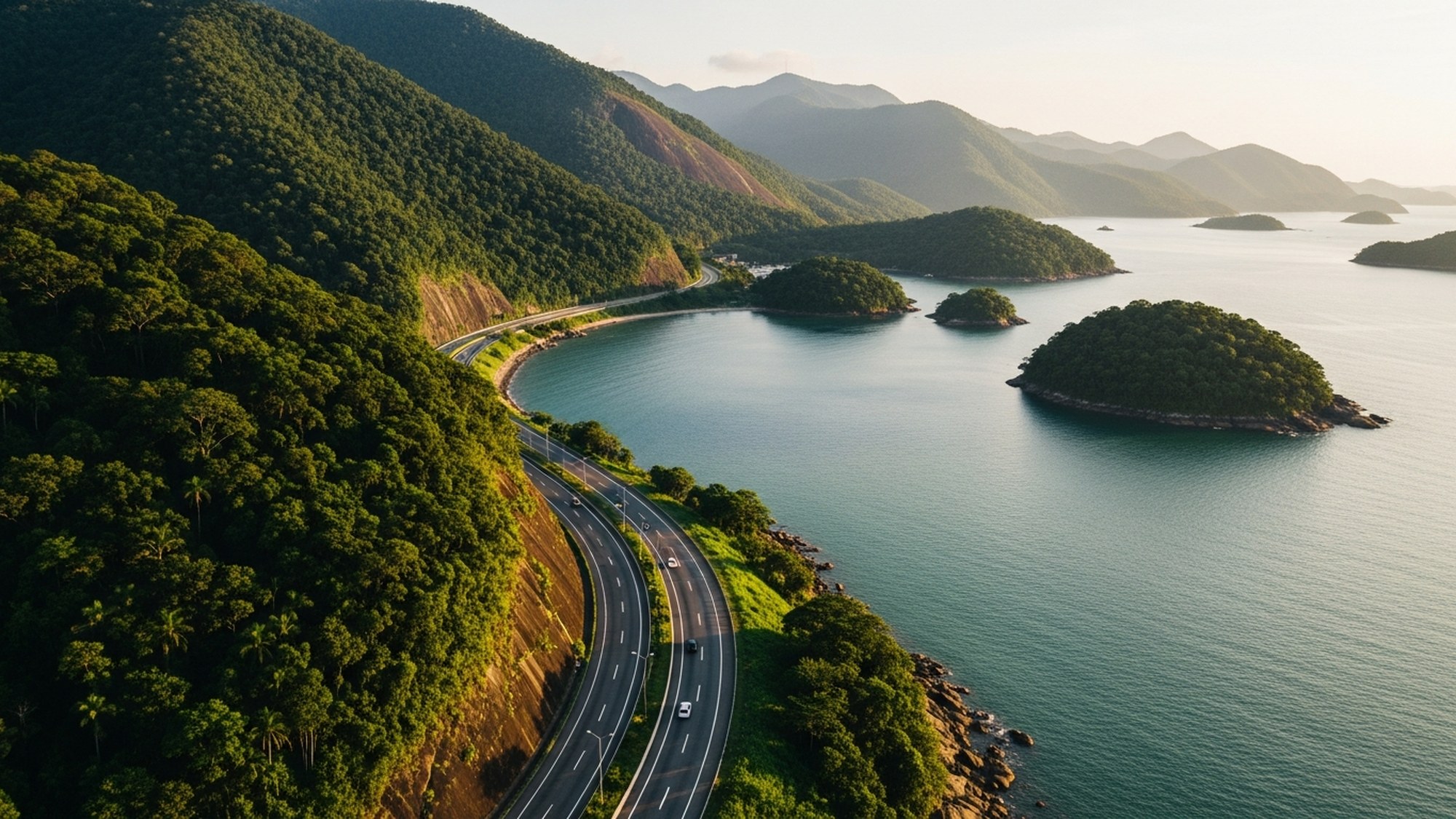
Paraty-Mirim lies roughly 15 to 18 kilometers south of Paraty — sources vary on the exact distance, but it's about a 30-minute drive. You leave the Rio–Santos highway (BR-101) at the signed turnoff and follow a road that's part paved, part dirt, down to the beach. If you're not driving, the local Colitur bus runs from Paraty's bus station and takes around 40 minutes. It's an easy trip, but the dirt final stretch means it's worth checking conditions after heavy rain.
The church & the ruins
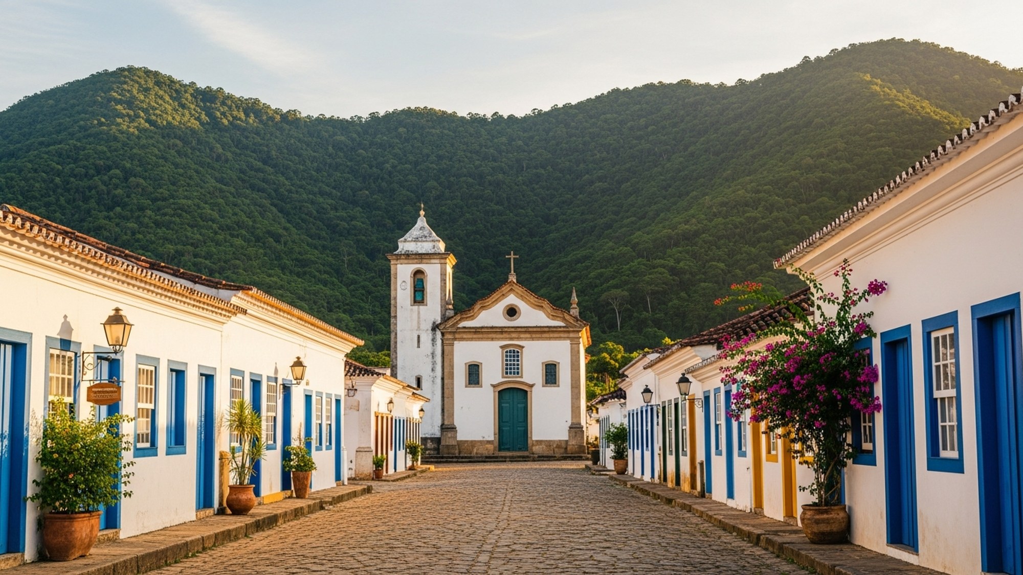
The landmark at Paraty-Mirim is the Igreja de Nossa Senhora da Conceição, a small colonial church dated 1720, standing beside the beach. The church itself still stands — it's the buildings around it that are ruins: the crumbling stone walls and remains of old colonial mansions (sobrados), slowly being reclaimed by vegetation. Together they mark what was once a working colonial port.
The history here is weightier than the sleepy beach suggests. During Brazil's gold era, Paraty was the sea end of the Caminho do Ouro, the route bringing gold down from Minas Gerais to the coast, and Paraty-Mirim's beach played its part as a port. Later, more darkly, it served as a clandestine landing point for enslaved Africans after the transatlantic trade was outlawed — people brought ashore here to supply the coffee plantations of the Vale do Paraíba. It's worth knowing as you walk the ruins: this quiet cove was a node in some of the defining, and most painful, chapters of Brazil's history. The original altar image from the church is now kept in Paraty's Museum of Sacred Art.
The Guarani & caiçara communities
Paraty-Mirim is a living place, not just a historic one. Near the beach is a Guarani Mbyá village — the community of Araponga — one of several Guarani settlements recognized in this territory and documented within the Cairuçu protected area. Several dozen families live in the area, sustaining themselves through agriculture and handicrafts, and the community is officially recognized. If you visit, do so with respect: this is someone's home and a living culture, not an attraction. Buying craftwork directly and following the community's lead on where visitors are welcome is the right way in.
The wider area is also home to traditional caiçara communities — the coastal people of mixed Indigenous, European and African descent who live by fishing and small-scale farming, and whose Fandango Caiçara music-and-dance tradition is recognized as Intangible Cultural Heritage of Brazil. Between the Guarani and the caiçara, Paraty-Mirim is one of the places where the coast's deep, layered human story is still being lived rather than just remembered.
Good to know
The Guarani village is a community, not a tourist site — approach it with the same courtesy you'd want shown at your own home. Ask before photographing people, follow any guidance about where visitors may go, and support the community directly by buying their handicrafts. A local caiçara boatman or guide can often make the introduction and explain the etiquette.
The beach itself
The beach is the everyday draw: a long, calm, shallow strip of sand with tranquil water, backed by forest and a small beachfront settlement. It's genuinely family-friendly — the gentle, wade-out water suits young children — and it rarely feels crowded the way the in-town departure points can. There are simple pousadas and camping if you want to stay, a few places to eat, and local caiçara boatmen offering trips out to nearby beaches and, above all, into Saco do Mamanguá. It's a beach for slowing down rather than for facilities and beach clubs — which is exactly why people who know the coast keep coming back to it.
The gateway south
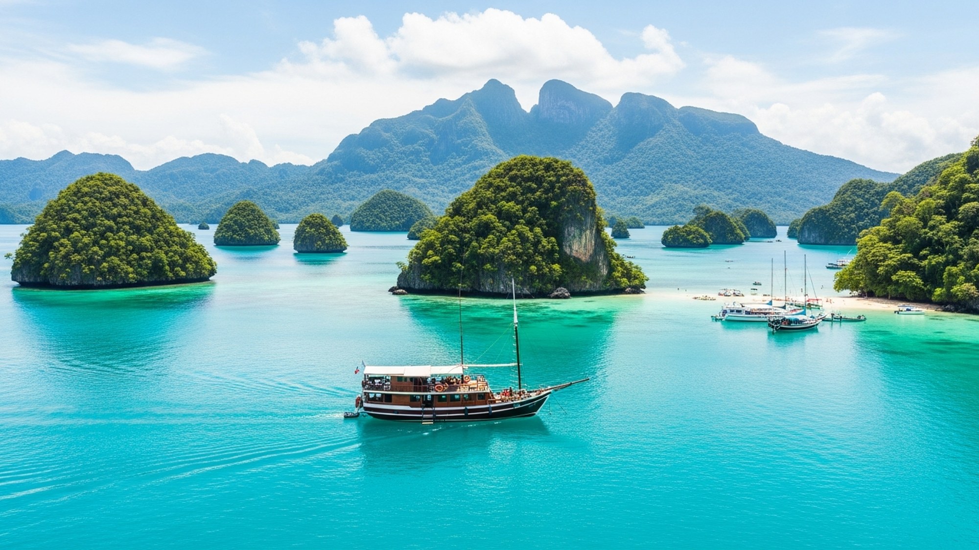
Paraty-Mirim's real strategic role is as the main departure point for Saco do Mamanguá, the eight-kilometer tropical fjord that is one of the coast's great experiences. From the pier here, boatmen run you into the fjord — around 20 minutes by fast boat, 40 by wooden boat — for paddling, oysters and the climb up the Pico do Pão de Açúcar. If Mamanguá is on your list, Paraty-Mirim is how you get there. Our Saco do Mamanguá guide covers the fjord itself in full.
One useful correction, because it's widely muddled: Paraty-Mirim is the gateway to Mamanguá, but it is not the standard trailhead for Praia do Sono. The usual, well-marked route to Sono starts from Laranjeiras, further along the coast, on a roughly hour-long trail. Don't plan to walk to Sono from Paraty-Mirim — plan Sono as its own outing from Laranjeiras, and use Paraty-Mirim for the fjord.
Practical notes
- Half a day is plenty for the beach and ruins alone; a full day if you're pushing on into Mamanguá.
- Bring what you need. This is a low-key beach with limited facilities — cash, water, sun protection and snacks are wise, and don't rely on a strong phone signal.
- Check the road after rain. The final stretch is dirt; heavy rain can make it rough.
- Arrange the Mamanguá boat at the pier with the local caiçara boatmen, or set it up in advance through your host.
- Tread lightly. The whole area is within the Cairuçu protected area, and much of it is home to traditional communities — leave no trace and be a courteous guest.
For a place so close to Paraty, Paraty-Mirim feels a world away — quieter, older, and closer to the coast's roots. From Amorielli it's a short, easy trip, and a natural pairing with a day in the fjord. See it as part of the bigger picture in our things to do in Paraty guide.
Common questions
Where is Paraty-Mirim?
About 15 to 18 kilometers south of Paraty — roughly a 30-minute drive, leaving the Rio–Santos highway (BR-101) onto a partly-dirt road down to the beach. A local Colitur bus from Paraty's bus station takes around 40 minutes.
What is there to see at Paraty-Mirim?
A calm, shallow, family-friendly beach; the colonial Igreja de Nossa Senhora da Conceição (1720) standing among the ruins of an old port; a nearby Guarani village; and, above all, the pier where boats leave for Saco do Mamanguá. It's a quiet, historic spot rather than a facilities-heavy beach.
Is Paraty-Mirim good for families?
Yes — the water is calm and shallow, ideal for young children, and the pace is gentle. Bring your own water, cash and sun protection, as facilities are limited, and check the dirt road's condition after heavy rain.
Can you get to Saco do Mamanguá from Paraty-Mirim?
Yes — Paraty-Mirim is the main gateway. Local boatmen run from its pier into the fjord in about 20 minutes by fast boat or 40 by wooden boat. It's the standard way to reach Mamanguá for paddling, oysters and the Pico do Pão de Açúcar hike.
Does the trail to Praia do Sono start at Paraty-Mirim?
No — that's a common mix-up. The usual trailhead for Praia do Sono is at Laranjeiras, on a roughly hour-long trail, not at Paraty-Mirim. Use Paraty-Mirim as the gateway to Saco do Mamanguá, and plan Praia do Sono separately from Laranjeiras.
More from the Journal
The Complete Guide to Paraty, Brazil
Everything you need for the Costa Verde's most beautiful town: the UNESCO old town, the waterfalls and trails, the islands and beaches, the cachaça, where to eat and stay, when to come — and exactly how to get here.
The Best Things to Do in Paraty, Brazil
The complete overview: the colonial old town and its churches, the Gold Trail, the waterfalls and cachaça road, the island bay and the tropical fjord, the beaches, and the festival calendar — everything worth doing, and how to fit it into three days or a week.
How to Get to Paraty: Airports, Transfers & the Drive from Rio
Which airport to fly into, how long the drive really takes, when to consider an air taxi into Paraty's own airstrip, and how to make the famous Rio-Santos coast road work for you instead of against you.
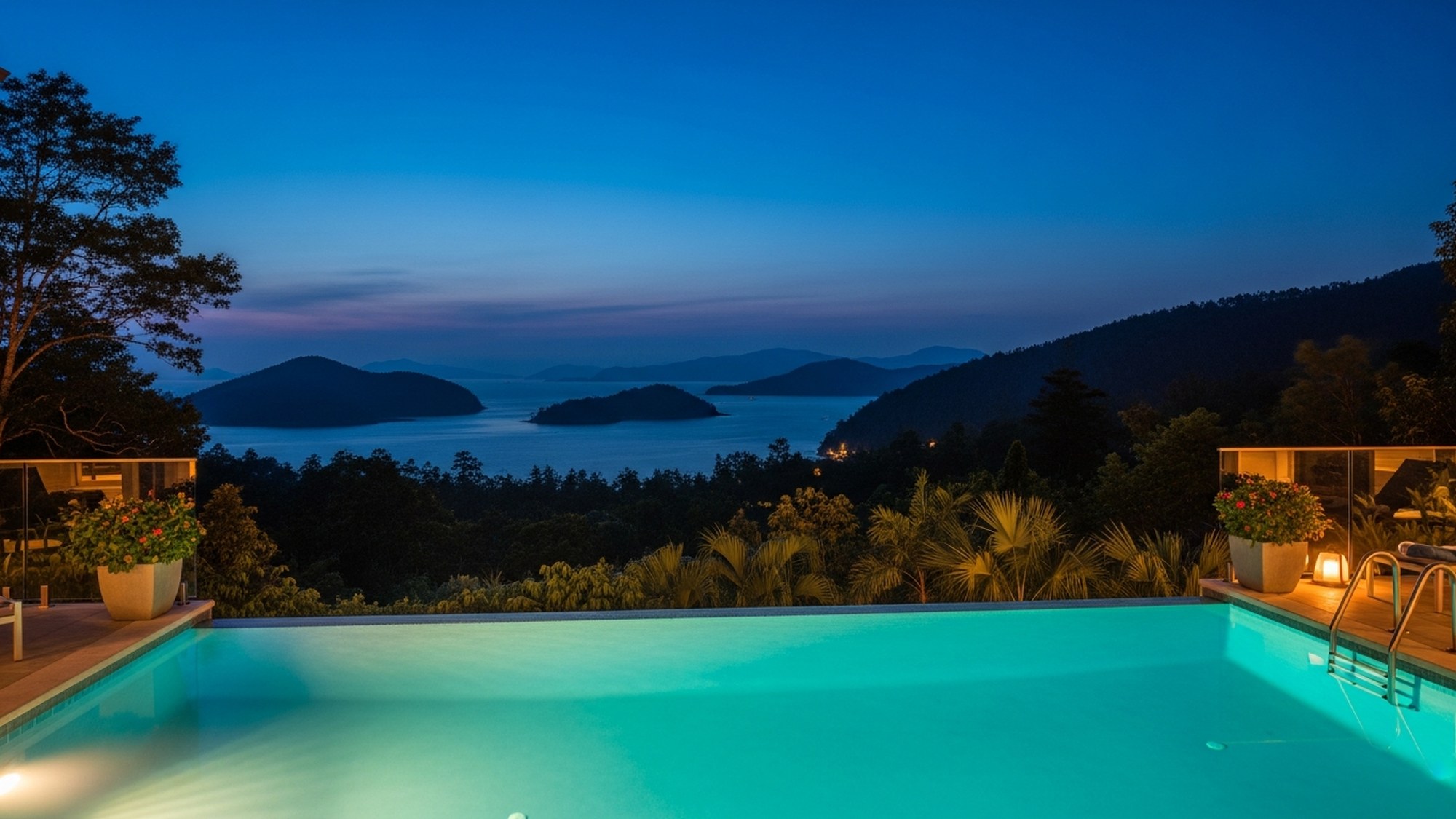
Stay at Amorielli.
A villa with an infinity pool, a private waterfall, and the kind of view people travel a long way to find. Join the waitlist to book the first season.