At a glance
- Base
- On the coast (expensive, book months ahead) or in Carmel-by-the-Sea (45 mins north) or Monterey (1 hour north).
- When
- October is the sweet spot; September is close. Summer is busiest and foggiest; winter is quietest and riskiest.
- Getting there
- By car from the north, through Carmel. Fly into Monterey Regional, San Jose, or San Francisco airports.
- Getting around
- Drive Highway 1, a slow, demanding two-lane road. Fuel and cell signal are scarce; check road status.
- Book ahead
- Months ahead for coast inns, especially October weekends. Carmel/Monterey allow later booking.
- The price
- Driven by scarcity of rooms. Autumn weekends and ocean views are peak. Midweek and off-season are softer.
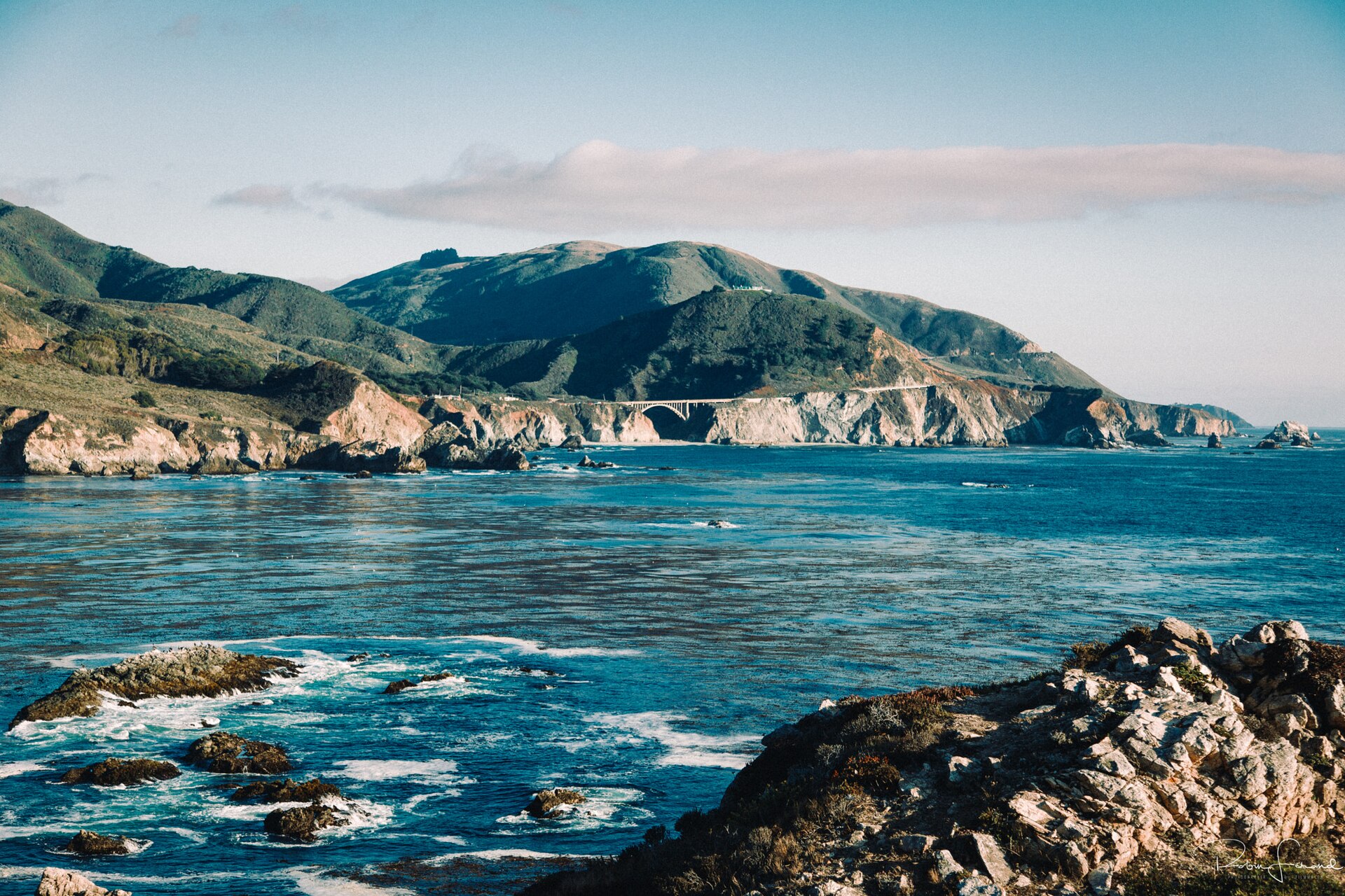
Big Sur is not a town. It is a stretch of coast, roughly ninety miles of it between Carmel and San Simeon, where the Santa Lucia Mountains drop straight into the Pacific and a single two-lane road, Highway 1, clings to the cliffs. There is no city here, no airport, no chain hotel, and very little lodging of any kind. Most of the land is protected, in Los Padres National Forest and a chain of state parks, which is why so little has ever been built. That scarcity shapes the whole trip, and your first real decision is whether you sleep on this coast at all.
You have two honest options. Book one of the handful of inns strung along the central stretch — months ahead, at a price that matches how few rooms exist — and wake up already here. Or base in Carmel-by-the-Sea, about forty-five minutes north, where there are far more rooms at saner rates, and drive in for the day. There is no shame in the second choice. This guide covers both, along with when to come and what to stop for, plus the fact that overrides the rest: Highway 1 is remote and periodically closes, so you check the road before you commit, and again the morning you drive it. If you can pick your month, pick October, when the summer fog has usually gone and the crowds have thinned — the clearest stretch of the year on the coast road.
In this guide
What Big Sur is, and how to think about staying there
Big Sur has no clear boundary and no official center. Most people use the name for the ninety-odd miles of Highway 1 between Carmel-by-the-Sea and San Simeon, and the mountains behind it. Nearly all of that land is protected, which is why the coast has stayed so empty: cliffs, redwood canyons, and one road, with only a few small clusters of buildings along its whole length.
The heart of it is the central stretch, in the valley of the Big Sur River near Pfeiffer Big Sur State Park. People sometimes call this the Village, but it is not a town in any normal sense: a loose scatter of inns, a couple of restaurants, a general store, a gas station, and a post office among the redwoods. This is where almost all the services and beds are. North and south of it you can drive a long way past nothing but coast, which is the appeal and also the thing that catches people out.
Four places do most of the work for visitors, and it helps to keep them straight, since three share a name:
- Andrew Molera State Park is a large, mostly undeveloped park where the Big Sur River meets the sea, with trails to a beach and a headland.
- Pfeiffer Big Sur State Park sits inland in the redwoods along the river, the one with the big campground, cabins, a lodge, and easy family trails, but few ocean views.
- Julia Pfeiffer Burns State Park, several miles south, is the one on the water, and the site of McWay Falls.
- Pfeiffer Beach is separate again — a day-use beach reached by a narrow side road, and not part of either state park despite the shared name.
Hold that layout in your head and most planning questions answer themselves: the beds and the services sit in the middle, the famous sights are strung out north and south, and whatever you do, you do it by driving the road between them.
Sleep on the coast, or base in Carmel and drive in
This is the choice that shapes everything else, and there is no single right answer: it comes down to how much you value waking up on the coast against having options.
Staying on the coast means sunrise and sunset, dark skies, and the quiet after the day-trippers have driven home, and it cuts hours of driving out of each day. The cost is real: very few rooms, booked far ahead and expensive for what they are, limited dining, and scarce fuel, groceries, and signal. You trade convenience for the plain fact of being here overnight.
Basing in Carmel-by-the-Sea puts you in a small, walkable town of galleries, restaurants, and cottage streets, roughly forty-five minutes north of the central stretch, with many more rooms than the coast, a real dining scene, and services at hand. You give up the early and late light in Big Sur itself and add a drive at both ends of the day, but it is a genuinely good way to see the coast: choosing it costs you nothing on the scenery, only the hours you would have it to yourself.
Basing in Monterey, about ten minutes beyond Carmel, gives you the most rooms and often the best rates, plus the aquarium and enough to fill a gray day. It is the easy choice for families and for anyone flying into the region's small airport nearby.
| Base | Best for | Rooms and rates | Drive to central Big Sur |
|---|---|---|---|
| On the coast | Waking up here; dawn, dusk, dark skies | Very few rooms; expensive; book months ahead | You are already there |
| Carmel-by-the-Sea | A walkable town, good food, a short drive in | Many more rooms; high but saner | About forty-five minutes |
| Monterey | Value, families, arriving by air | Most rooms; often the best rates | Roughly an hour |
The handful of coast inns
If you do stay on the coast, these are essentially the choices, sorted by character rather than neighborhood. Post Ranch Inn and Ventana Big Sur, an Alila Resort are the two luxury resorts, and the names people reach for first; both are adults-only, open to guests eighteen and over, so neither works for families with children. Post Ranch sits on the cliff edge on the ocean side, with around forty rooms and the well-known Sierra Mar restaurant; Ventana is tucked into the hills on the mountain side, with more rooms, a restaurant called The Sur House, and safari-style glamping tents. Glen Oaks Big Sur is the polished middle option, a 1950s motor lodge reworked into clean modern rooms and redwood cabins. Big Sur River Inn is the oldest and most easygoing, a riverside inn with a deck and, in summer, chairs set out in the shallow river. Deetjen's Big Sur Inn is the character pick: a cluster of weathered redwood cottages that a Norwegian immigrant, Helmuth Deetjen, began building in the 1930s, now run by a preservation foundation and kept deliberately rustic. It is on the National Register of Historic Places, and it is not for everyone, which is the point.
For many people the best value is not a room but a campsite. Pfeiffer Big Sur State Park has the largest campground, inland among the redwoods, plus rustic cabins; Andrew Molera has a few simple walk-in sites; and private campgrounds and glamping operations fill in the rest. All of it books up early for autumn weekends.
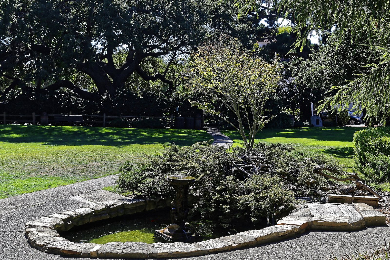
Carmel-by-the-Sea 18 · Burkhard Mücke · CC BY-SA 4.0 · cropped
What drives price, and how far ahead to book
The price of a bed here is driven above all by how few of them there are. Add up every room in every inn along the central stretch and the total is small, while the number who want to drive through on a clear October afternoon is very large. Scarcity, not luxury alone, keeps rates high, and it is why even the mid-range inns cost more than they would elsewhere.
Within that, two things move the number. Season is the biggest lever: autumn weekends are the peak, midweek in the quieter months far softer. View is next, ocean-side and cliff-edge rooms costing more than those facing the forest. The two resorts sit in a bracket of their own, above the historic inns and the campgrounds.
The rule follows from the scarcity: book as far ahead as you can, and for October weekends that means months, not weeks, since the resorts and character inns go first. Then confirm before you rely on it — storm damage and closures periodically take lodging, even whole stretches of the coast, offline at short notice, and a few businesses cut their hours or close in the deep off-season.
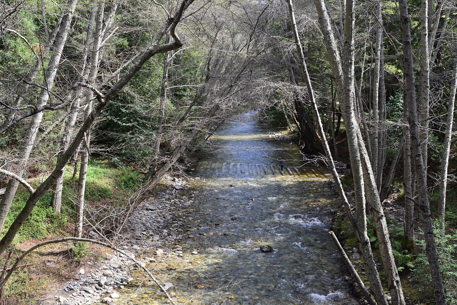
Big Sur River in Pfeiffer Big Sur State Park 01 · Joe Mabel · CC BY-SA 4.0 · cropped
When to go, and why October is the clear month
Season matters more here than almost anywhere, because the coast's two defining patterns — summer fog and winter storms — both turn on the calendar. For most travelers, one window stands clear of the rest.
October is the sweet spot, and September runs it close. The coastal fog that grays out summer mornings usually thins soon after Labor Day, the days are often the warmest and clearest of the year, and the heaviest crowds have gone home. It is the stretch when the fog lifts, the light goes long, and the ocean is visible from the road for hours at a time. If you can choose your dates freely, this is the answer, which is why autumn rooms sell out first.
Summer, June through August, is the busiest and the foggiest. Marine fog can sit on the coast well into the day and mute the views, and traffic and demand peak. If it is your only option, come with everything booked and your expectations set for gray mornings that often burn off by afternoon.
Winter, roughly November through March, is the quietest and the riskiest. The hills go green, the surf turns dramatic, and you can have the overlooks nearly to yourself, but this is the rainy season, when storms and landslides are most likely to close the road and some businesses cut their hours. It can be wonderful, if you build in slack and watch the forecast.
Spring, April and May, is the in-between: wildflowers out, the creeks and waterfalls running full from the winter rain, and crowds moderate and building. The weather is variable, but a clear spring day here is hard to beat.
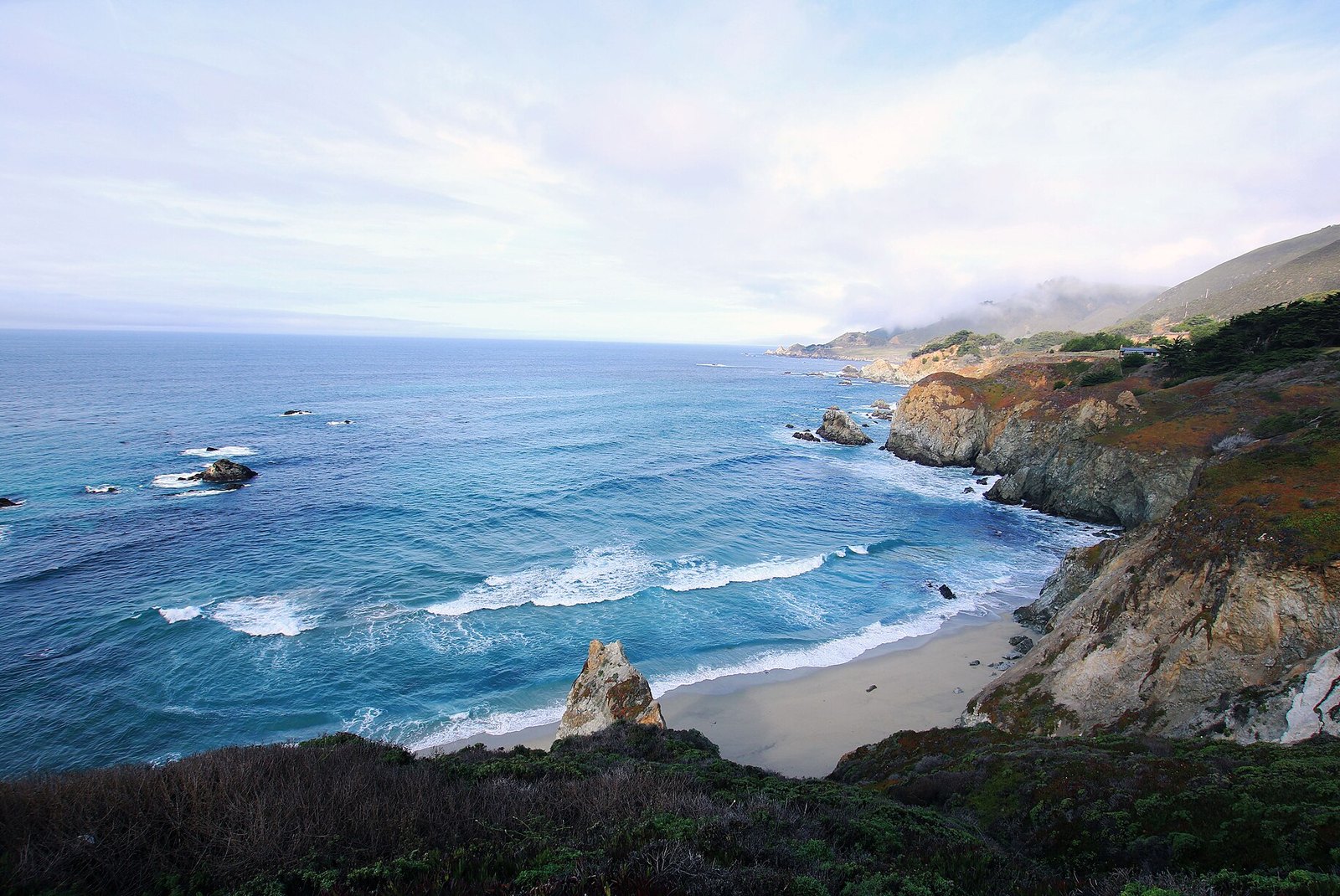
Driving Highway 1, honestly
Almost everyone reaches Big Sur by car, from the north, through Carmel, the last real town before the coast. If you are flying in, Monterey Regional Airport is the closest, small with a limited, mostly regional schedule and a short drive to Carmel. San Jose is a bit over an hour and a half away with far more flights, and San Francisco, about two hours out, has the most of all, including international service for visitors from abroad.
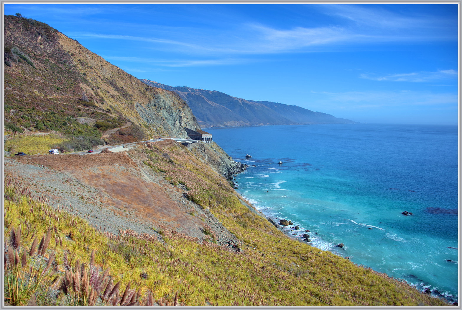
Pacific Coast Highway (123394187) · Terry Lucas · CC BY 3.0 · cropped
Once you leave Carmel, the coast has its own rules, and ignoring them is how trips go wrong.
- Fuel is scarce and expensive. There are only a few gas stations on the entire coast, and prices run well above the norm. Fill up in Carmel or Monterey before you head south, and never start down the coast with less than half a tank.
- Cell signal is patchy to nonexistent. For long stretches you will have none at all. Download offline maps beforehand, and do not count on navigating live or calling ahead once you are on the road.
- The road is slow and demanding. Two narrow lanes with tight curves and long drops. Use the turnouts to let faster cars pass, watch for cyclists and for drivers braking suddenly at viewpoints, and allow far more time than the mileage suggests.
- Closures are a standing risk. Landslides and storm damage periodically shut sections of the highway, sometimes for months, and even when the road is through, stretches often run under one-way, signal-controlled traffic while crews repair bridges and slides.
On that last point, treat the road's status as something to check, never to assume. Highway 1 through Big Sur has closed and reopened repeatedly in recent years — the Regent's Slide that severed the southern coast reopened in early 2026, while other stretches have stayed under one-way control for long bridge work — and a single winter storm can change the picture again. Before you travel, and again the morning you set out, check the Caltrans QuickMap and the Big Sur Chamber of Commerce's Highway 1 conditions page for what is open and where the delays are.
Good to know
Treat Highway 1 as remote, because it is. Fill the tank in Carmel or Monterey and keep it above half, download offline maps before you lose signal, and carry water, snacks, and a little cash. Never take the road's status on faith: check the Caltrans QuickMap and the Big Sur Chamber's conditions page before you go and again the morning you drive.
The stops that matter
The road is the main event, the sights strung along it. Running from the Carmel end south, these are the ones worth planning around, and in a couple of cases worth timing your light for.
Bixby Creek Bridge is the one on the postcards, an open-spandrel concrete arch completed in 1932, standing roughly two hundred and sixty feet above the creek about thirteen miles south of Carmel. Nearly everyone stops at the pullout at its north end for the view back along the span. It is often crowded; park only in the marked turnouts, and come early for fewer people and softer light.
McWay Falls, in Julia Pfeiffer Burns State Park, is the image many come for: a waterfall of about eighty feet that drops onto the sand of a small cove. A short, mostly level overlook trail leads to the classic view, though it has been closed for stretches for retaining-wall repairs, so check before you count on it. You cannot reach the cove itself, and should not try. Midday, when the sun is on the water, is when it turns its clearest color.
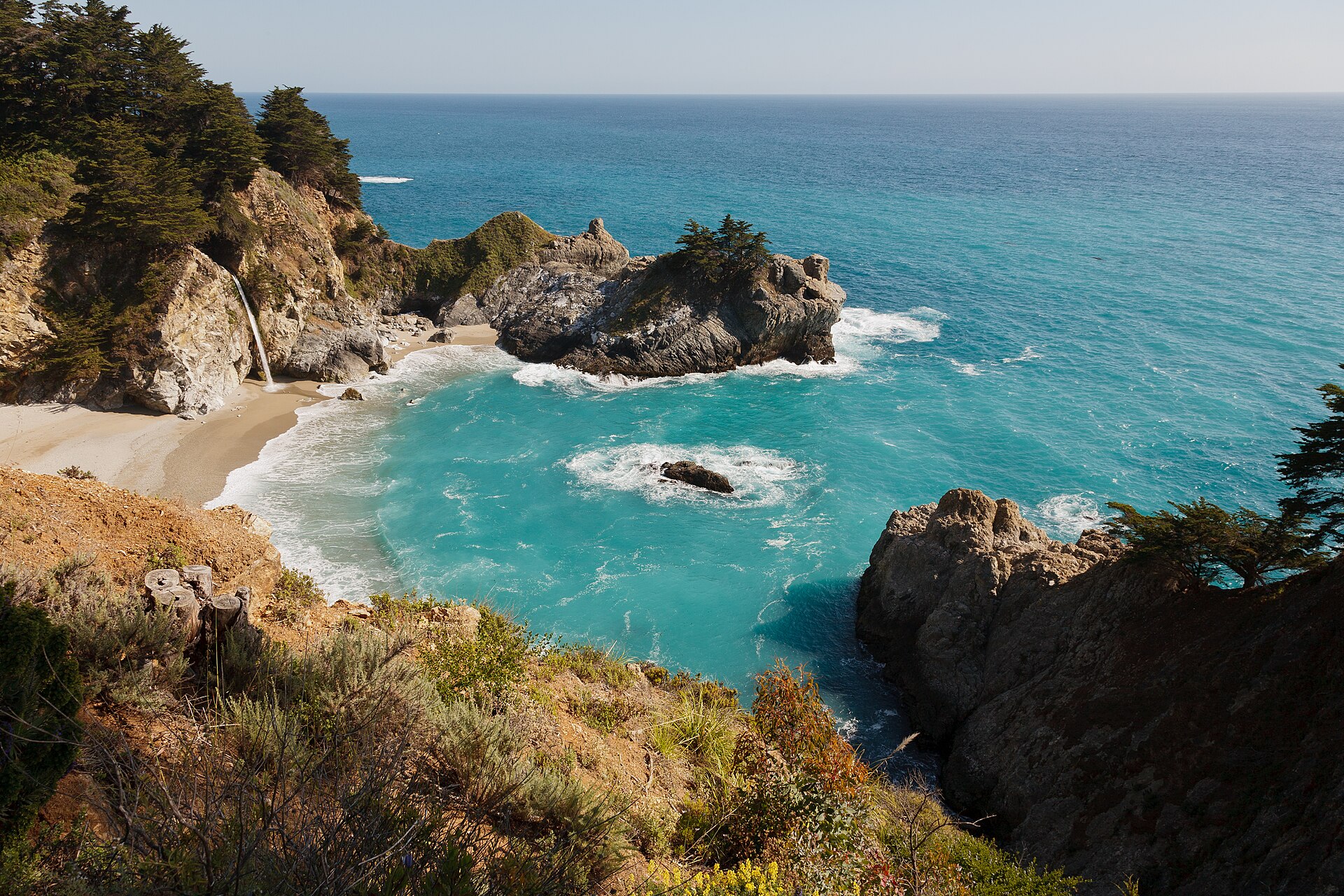
McWay Falls Big Sur May 2011 005 · King of Hearts · CC BY-SA 3.0 · cropped
Pfeiffer Beach is the one to time for the end of the day. It is reached by Sycamore Canyon Road, a narrow, easy-to-miss lane off Highway 1 that is too tight for RVs and trailers, with a small lot that fills early and a cash-only day-use fee. The draw is sand tinted purple by minerals from the hills, and Keyhole Rock, an offshore arch that the low sun lines up behind, most dramatically in winter. After heavy rain the access road can close, another to check.
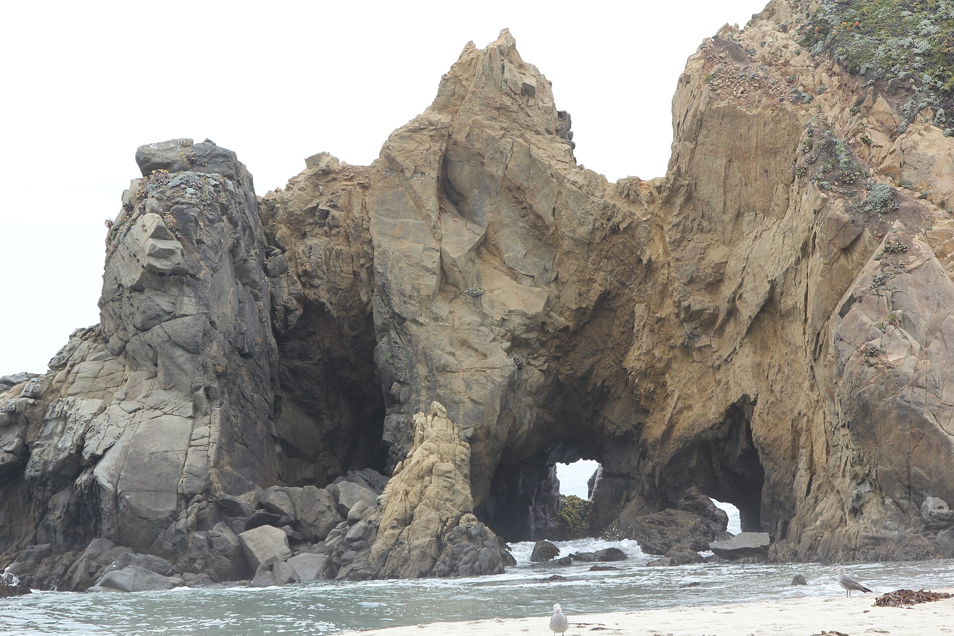
Pfeiffer Beach, Big Sur - panoramio · Michal Cierniak · CC BY-SA 3.0 · cropped
A few more reward a stop. Nepenthe, open since 1949 and built by Bill and Lolly Fassett, is as much a landmark as a restaurant, with a terrace that looks for miles down the south coast. The Henry Miller Memorial Library, founded by the writer's friend Emil White, is a bookstore and nonprofit arts center in a house among the trees, good for an hour off the road. And Andrew Molera State Park is the place to stretch your legs, with trails across the river to a beach and a bluff and fewer crowds than the marquee sights.
Where to eat
Dining is limited, and that limitation is worth planning around. There are only a handful of kitchens on the whole coast, most in the central stretch, and many close earlier than you would expect.
- Nepenthe is the classic, as much for the terrace and the view as for the food; the walk-up Café Kevah just below it is the lighter, cheaper option.
- Sierra Mar, at Post Ranch Inn, is the special-occasion table, a fine-dining room with a long wine list and a cliff-edge view; reserve well ahead.
- The Sur House at Ventana and the dining rooms at Big Sur River Inn and Deetjen's round out the sit-down options, each with its own character.
- The Big Sur Bakery and the general stores are where you pick up coffee, pastries, and supplies.
Because the choices are few and the hours short, carry water, snacks, and a picnic, especially if you are day-tripping and would rather not lose an hour of daylight to a sit-down meal. Book dinner ahead in the busy months, and do not assume anything is open late.
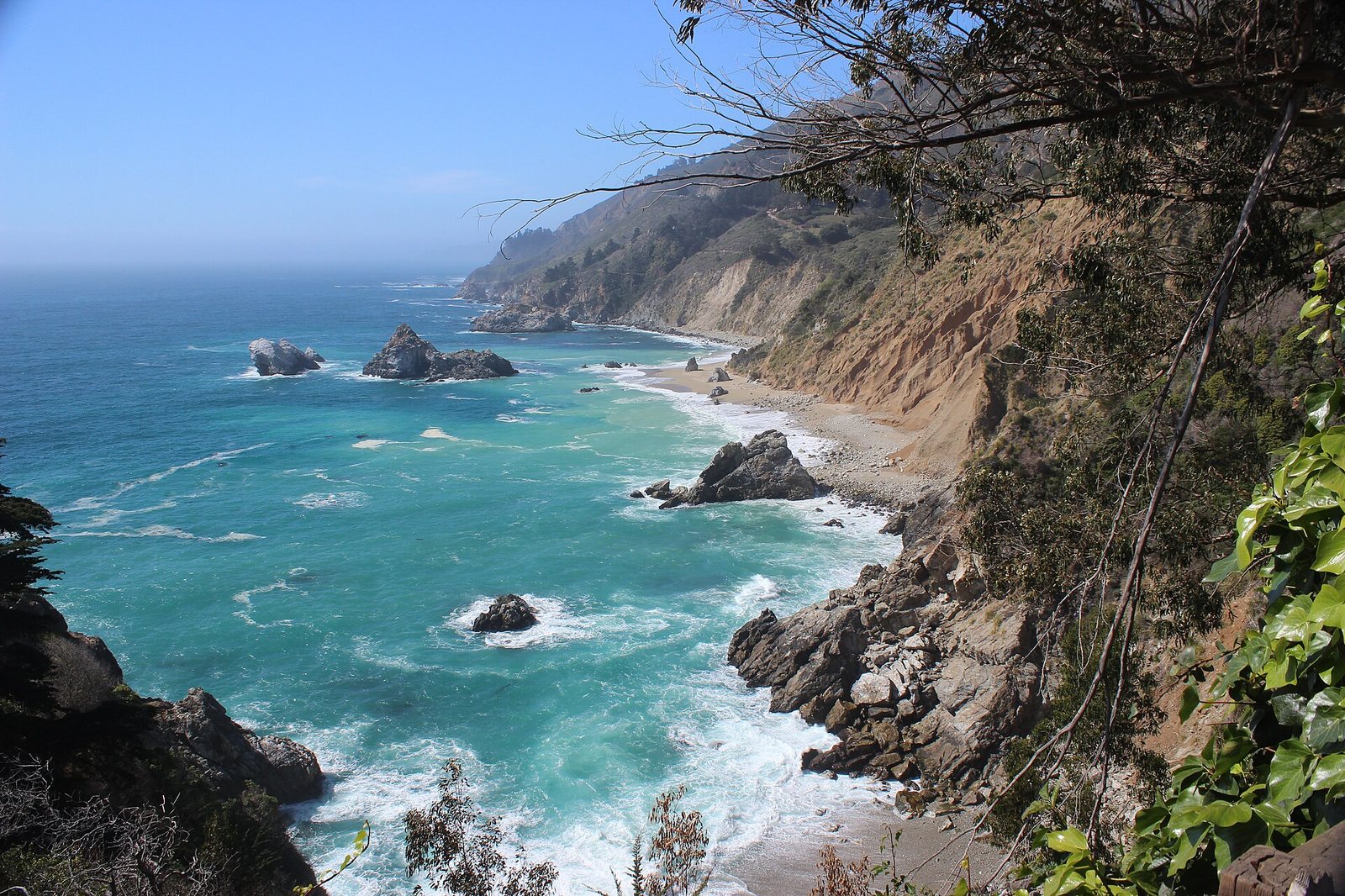
Big Sur Julia Pfeiffer Burns. 07 · Miguel Hermoso Cuesta · CC BY-SA 4.0 · cropped
Money and practical notes
Big Sur is not a budget destination, but a few habits save money and grief.
Move the dial with your dates and your base. The same trip costs far less midweek and outside the autumn peak, and a room in Carmel or Monterey costs less than one on the coast. If the budget is tight, that is where the savings are — in when you come and where you sleep, not in what you do, since the road and the views are free.
Carry some cash. The day-use fee at Pfeiffer Beach is cash-only, some small spots prefer bills, and there is often no signal to fall back on.
Fuel up and load your maps before you head south. The two mistakes visitors make most are an empty tank and a dead map with no signal to reload it.
Build in slack. One-way controls, slow drivers, and the winding road all eat time, so do not schedule a tight flight connection on the day you leave. And leave the fragile places as you found them: stay on the trails, park only in the turnouts, and respect the closures.
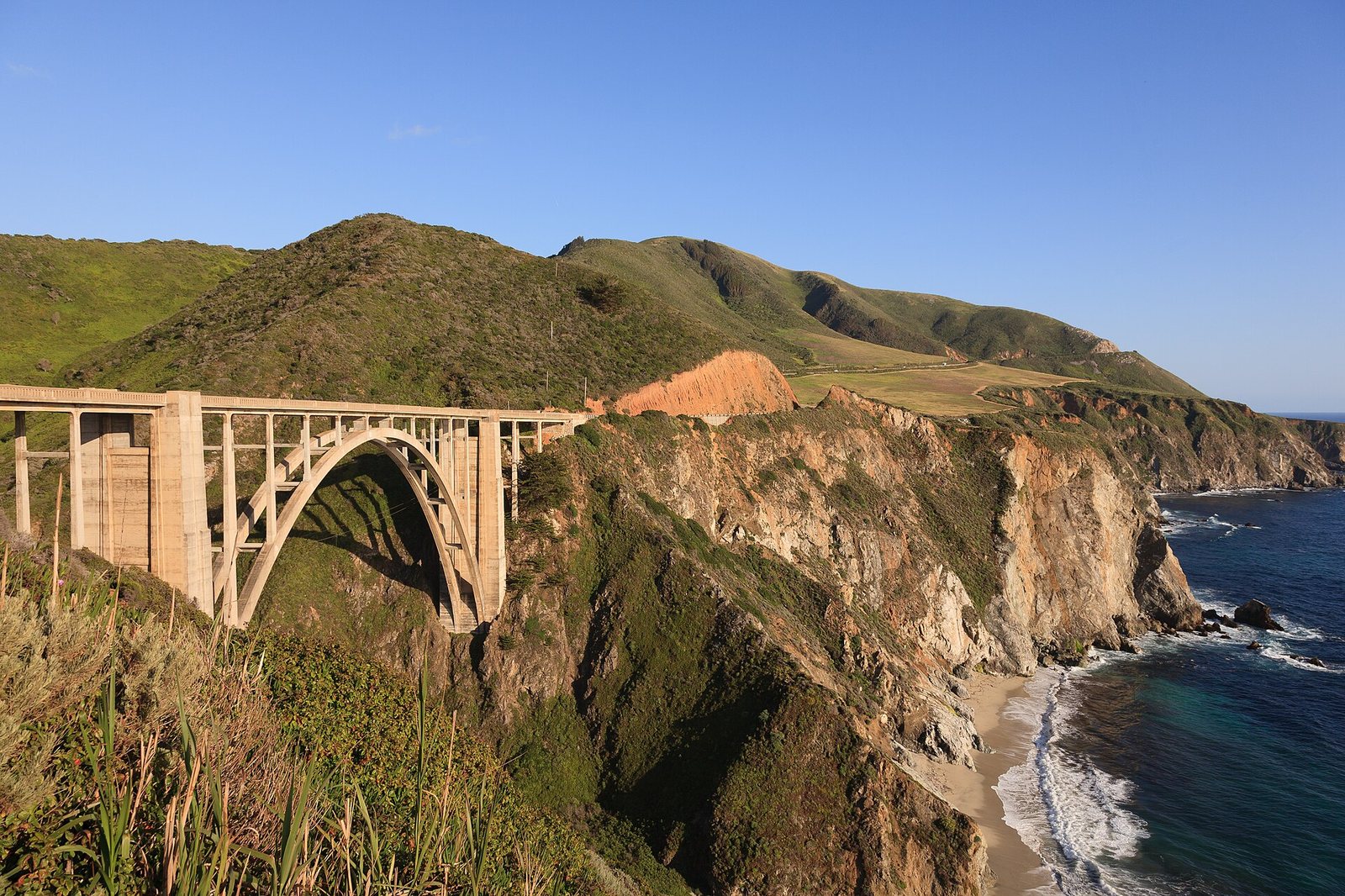
Bixby Creek Bridge May 2011 001 · King of Hearts · CC BY-SA 3.0 · cropped
By the numbers
Common questions
Can I just day-trip in from Carmel instead of staying on the coast?
Yes, and many people do. Driving in from Carmel or Monterey is the easier, cheaper way to see Big Sur, and there is no shame in it. What you give up is the early morning and the evening, when the day-trip traffic has gone and the light is best. If those hours matter and you can get a room, staying on the coast earns its cost; if not, a northern base and a full day on the road cover the highlights well.
When is the best time to go?
September and October, with October the standout: the summer fog has usually cleared, the weather is often the warmest and clearest of the year, and the crowds have thinned. Spring brings wildflowers and full waterfalls, summer brings fog and the biggest crowds, and winter is quiet and dramatic but carries the highest closure risk.
Is Highway 1 open, and will it close while I am there?
Treat that as a question to answer fresh each time, not a given. This coast closes and reopens regularly because of landslides and storms, mostly in winter, and even when it is through it often has stretches under one-way, signal-controlled traffic for repairs. Do not assume: check the Caltrans QuickMap and the Big Sur Chamber of Commerce's Highway 1 conditions page before you travel and again the morning you head out.
How far ahead do I need to book?
For the coast inns, as far ahead as you can — months for October weekends, when the few rooms go first. Carmel and Monterey let you book later, but the best-value places still fill in peak season. Whatever you reserve, confirm with the property that it is open for your dates, since storms and closures can take lodging offline.
Do I need a car, and what about gas and phone signal?
Yes; there is no practical public transport along the coast. Fill up in Carmel or Monterey before you head south, since the few coast gas stations are far apart and expensive, and do not set out below half a tank. Expect long stretches with no cell signal, so download offline maps and directions in advance.
Are Post Ranch Inn and Ventana suitable for families?
No. Both are adults-only, open to guests eighteen and over, so families with children should look elsewhere. Glen Oaks, Big Sur River Inn, the state-park campgrounds and cabins, or a base in Monterey are all better suited to traveling with kids.
Sources & further reading
- Big Sur Chamber of Commerce — Highway 1 conditions
- Caltrans QuickMap — live California road conditions
- Caltrans District 5 — Big Sur Highway 1 project updates
- California State Parks — Julia Pfeiffer Burns State Park (McWay Falls)
- Los Padres National Forest — Pfeiffer Beach day use
- See Monterey — Monterey County and Big Sur visitor information
- Post Ranch Inn — official site