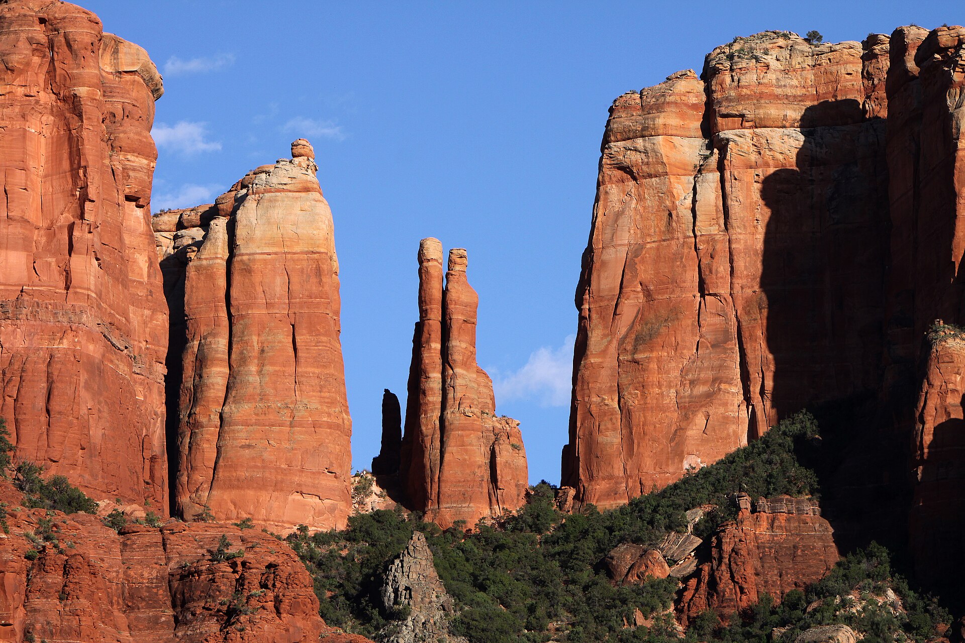
At a glance
- Base
- Uptown, West Sedona, Village of Oak Creek, or Oak Creek Canyon, chosen for feel, value, and trail access.
- When
- Spring (March-May) and Fall (Sept-Nov) for best weather; Summer is hot; Winter is quiet and mild.
- Getting there
- Fly to Phoenix Sky Harbor (PHX) and drive 2 hours, or Flagstaff (FLG) for a shorter, pricier drive.
- Getting around
- A car is essential; free city shuttle for key trailheads; on-demand shuttle for town.
- Book ahead
- Book lodging early, especially for spring, fall, and holiday weekends; start hikes early.
- The price
- Red-rock views, area (Uptown highest), season (spring/fall peak), and amenities drive prices.
Sedona is a small town wrapped in red rock, and the thing to sort out first is which part of it you sleep in and whether you bring a car. You do need a car. The town sits at about 4,350 feet in central Arizona, ringed by the sandstone buttes and canyons of the Coconino National Forest, and spread thin along two highways that meet at a junction locals call the Y. Get your base right and Sedona is easy: you start a hike before the lots fill, drive ten minutes to dinner, and watch the light go red on the rocks from your patio. Get it wrong and you spend the good early hours crawling through midday traffic on a two-lane road.
Most people arrive picturing the red rocks and book the first hotel they see. But the answer to where to stay depends on what you want your mornings to look like: walking to breakfast in Uptown, getting better value and quick trail access in West Sedona, waking up quiet by Bell Rock in the Village of Oak Creek, or sleeping under the pines in Oak Creek Canyon. This guide walks through how the town is laid out, the areas worth basing in, when to come, how to get around and why the car matters, the sights worth building your days around, the day trips, the food, and the practical stuff.
In this guide
How Sedona is laid out
Two highways run the whole show, and they cross at the Y. State Route 89A is the main street: head east on it and the road climbs into Oak Creek Canyon toward Flagstaff; head west and it runs the length of West Sedona and on out toward the Verde Valley. State Route 179, the Red Rock Scenic Byway, drops south from the Y through the Village of Oak Creek to Interstate 17, the road up from Phoenix. Learn those two roads and the Y where they meet, and the whole town falls into place.
Around that junction sit the four areas most visitors choose between: Uptown just north of the Y, West Sedona running west, the Village of Oak Creek several miles south down 179 at the foot of Bell Rock, and Oak Creek Canyon in the pines to the north. The next section takes each in turn.
Why does this matter for where you sleep? Because Sedona is small but its trailheads, viewpoints, and shuttle park-and-ride lots are scattered across the forest, and the two-lane highways bunch up at midday in spring and fall. The rocks are the draw everywhere you look, so no base has a monopoly on the views. What changes from area to area is how long you sit in traffic, how much you pay, and whether you can walk to dinner or have to drive.
The areas worth basing in
Four areas cover almost every sensible plan. Here is who each one suits.
- Uptown is the compact, walkable center just north of the Y, a few blocks of galleries, gift shops, cafes, and restaurants where the jeep tours and trolleys depart. It is the most central base, the easiest for walking to dinner, and the closest to the mouth of Oak Creek Canyon. The trade-offs are obvious: it is the busiest, most touristy part of town, parking is tight, and rooms run higher. Good for first-timers who want to leave the car and walk.
- West Sedona is the long residential stretch west of the Y along 89A — the everyday town, with the grocery stores, coffee shops, casual restaurants, and a good share of the lodging. It gives you more room for the money than Uptown and sits close to the busy west-side trailheads for Devil's Bridge, Soldier Pass, and Boynton Canyon. It has less charm and more strip-mall, but it is practical and central. Good for value and for hikers. The Collection's Sedona Pickler is a four-bedroom house here, built around its own heated, air-conditioned indoor pickleball court.
- The Village of Oak Creek, often shortened to the Village or VOC, is a quieter, more spread-out community several miles south of the Y on 179, right under Bell Rock and Courthouse Butte. It has golf, resort-style hotels, its own restaurants, and easy access to the gentle south-side trails, and it is a short drive back up to Uptown. Good for a quiet base with trails on the doorstep.
- Oak Creek Canyon is the forested corridor north of town, where 89A climbs beside the creek under ponderosa pines. Here you get cabins and lodges, shade, the sound of water, and Slide Rock a short way up the road, all cooler and greener than the desert floor. The catches are distance and the slow, winding canyon road, a long way from the south-side sights and clogged on summer weekends. Good for the creek, the pines, and a different feel from the red-rock town.
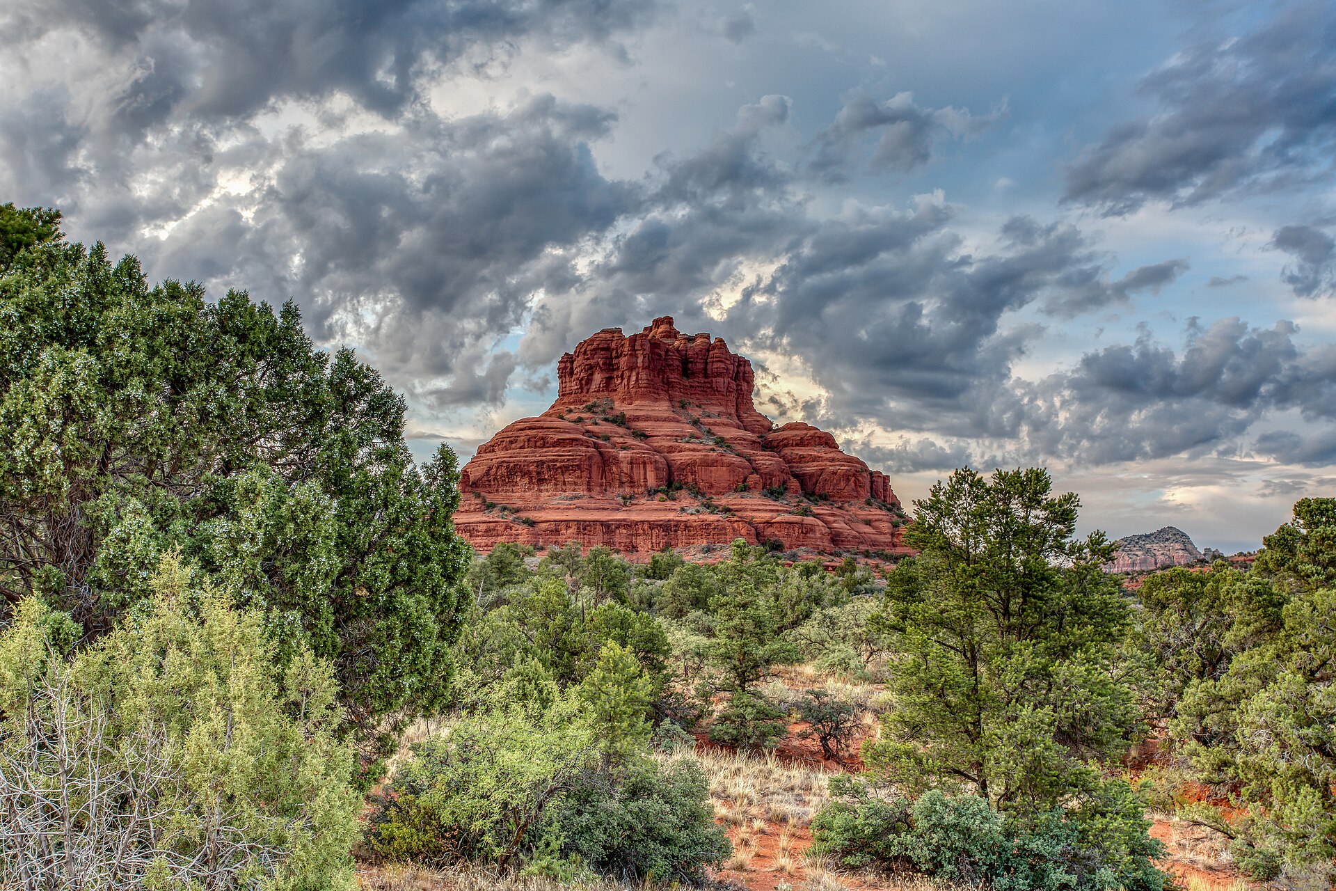
Bell Rock in Sedona · https://sedona.org/ · CC BY-SA 4.0 · cropped
| Area | Feel | Setting | Walkable | Value | Best for |
|---|---|---|---|---|---|
| Uptown | Busy, touristy, central | Just north of the Y on 89A | Yes, walk to dinner | Higher | First-timers who want to leave the car |
| West Sedona | Ordinary, residential, practical | West along 89A | Partly; some driving | Better value | Value and quick trail access |
| Village of Oak Creek | Quiet, spread out, resort-ish | Several miles south on 179 | No; drive for most things | Mid | Quiet with south-side trails nearby |
| Oak Creek Canyon | Forested, cool, green | North on 89A in the pines | No; a canyon drive to town | Varies | The creek, shade, and Slide Rock |
Where to sleep, and what drives the price
Lodging in Sedona sorts into a few types. At the top are the resorts and spa hotels, several built to face the rocks, with pools and restaurants of their own. In the middle sit the ordinary hotels, inns, and bed-and-breakfasts, most of them in West Sedona and the Village. Up in Oak Creek Canyon are the cabins and creekside lodges. And across all of it are vacation rentals and small casitas, often the best value for families or a longer stay with a kitchen.
A few things move the price more than anything else. The first is the red-rock view: a room or terrace that frames a formation costs more than the same room facing the parking lot, and it is the steepest premium in town. The second is the area, with Uptown and the view resorts above West Sedona and the Village. The third is the season — spring and fall are the peak, holiday weekends the top of it, and mid-summer and deep winter come off. The fourth is amenities: a full resort with a spa and pools sits well above a simple inn down the road.
The red-rock view is the thing you pay the steepest premium for in Sedona. Be sure you will use it. If your days start at a trailhead at dawn and end at dinner across town, that view is mostly a photo you paid extra for. If a slow morning with coffee and the light coming up red on the rocks is the whole point of the trip, it is worth every dollar.
The practical move is to decide how you will actually spend your time, then book early — spring and fall fill up, and the holiday weekends fill first. Amorielli's own Collection leans toward the house-and-cabin end of this, a small set of places you book direct with the people who run them, listed at the foot of this guide.
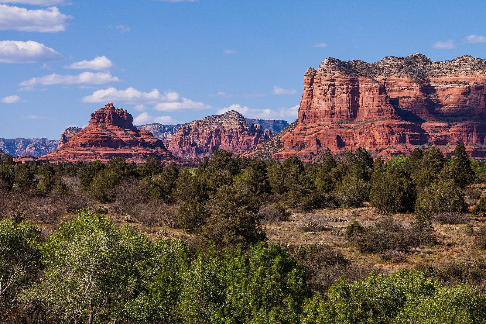
Bell Rock in Sedona Arizona · Tomascastelazo · CC BY-SA 4.0 · cropped
When to go
Two windows stand out: spring, roughly March into May, and fall, September into November. You get warm days, cool nights, and the trails and patios at their best, which is exactly why these are also the busiest and priciest months. If you come then, book ahead and start your hikes early, because the popular trailhead lots fill soon after sunrise.
Summer is hot but not Phoenix-hot. Sedona's higher elevation keeps it something like ten to fifteen degrees cooler than the desert below, with July and August highs in the nineties Fahrenheit rather than the hundred-and-tens. The other summer feature is the monsoon, which runs from around July into September and brings heavy afternoon thunderstorms — dramatic to watch, but they raise a real flash-flood risk in the canyons and slot canyons, so hike early, watch the sky, and stay out of drainages when storms are building.
Winter is the quiet season: mild, sunny days, cold nights, the fewest crowds, and lower rates. Every so often a storm dusts the red rock with snow, one of the better sights in the state and gone by afternoon. Days are short and some canyon services thin out, but a winter trip is calm and the light is good.
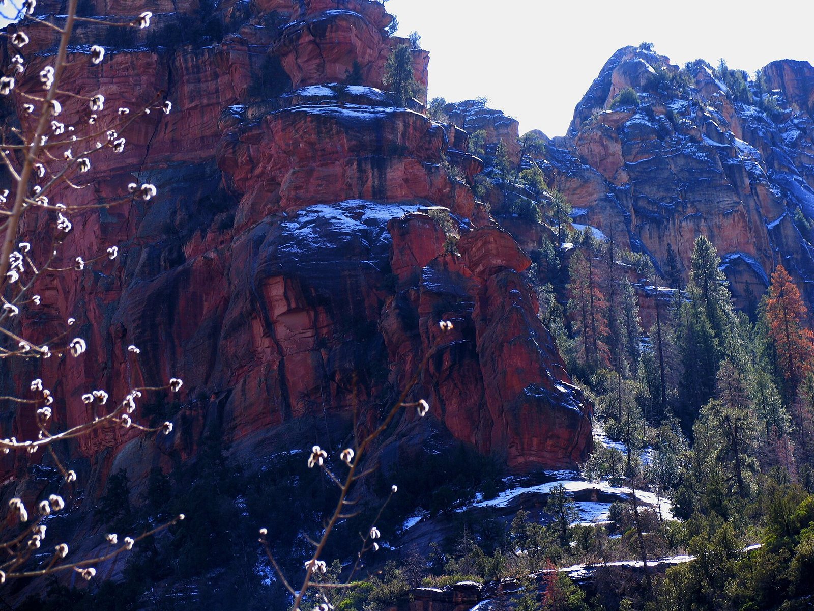
Getting there, and getting around
The nearest big airport is Phoenix Sky Harbor (PHX), about 120 miles and roughly a two-hour drive south via Interstate 17 and 179. Most visitors fly into Phoenix, rent a car, and drive. Flagstaff has a small airport (FLG) about forty-five minutes north up Oak Creek Canyon on 89A, with fewer and pricier flights, but it can save the long haul if the schedule works.
A car is essential here. The sights and trailheads are scattered across the forest, the day trips are hours apart, and there is no comprehensive town bus, so plan to rent. That said, the city runs a useful free shuttle that solves the worst of the parking, and it is worth understanding before you go:
- The Sedona Shuttle runs free trailhead routes to five of the busiest trailheads — Cathedral Rock, Little Horse, Soldier Pass, Dry Creek Vista, and Mescal — from park-and-ride lots at Posse Grounds, on North 179, and on West 89A. It runs year-round, generally Thursday through Sunday, with expanded seven-day service during spring break and some holidays. Reservations are not needed.
- The catch that makes it more than a convenience: at the busiest trailheads, including Cathedral Rock and Soldier Pass, the small lots close to private cars while the shuttle runs, so at peak hours it is effectively the only way in. Devil's Bridge is reached on foot from the Dry Creek Vista or Mescal stops.
- A separate on-demand service, Sedona Shuttle Connect, runs around West and Uptown Sedona, Tlaquepaque, and the park-and-ride lots for a small fare — handy for dinner or the shops without your car, but not a trailhead service.
The other thing to sort before you park is the Red Rock Pass. To leave a car at most National Forest trailheads you need one — daily, weekly, or annual — displayed on the dash. If you already hold a federal America the Beautiful interagency pass, that is accepted instead. Buy passes through Recreation.gov, at the ranger district and visitor centers, or at machines at some trailheads. Note that this is Forest Service parking only: the state parks, Slide Rock and Red Rock State Park, and a few day-use sites such as Crescent Moon at Red Rock Crossing, Grasshopper Point, and the West Fork trail charge their own separate fees the Red Rock Pass does not cover.
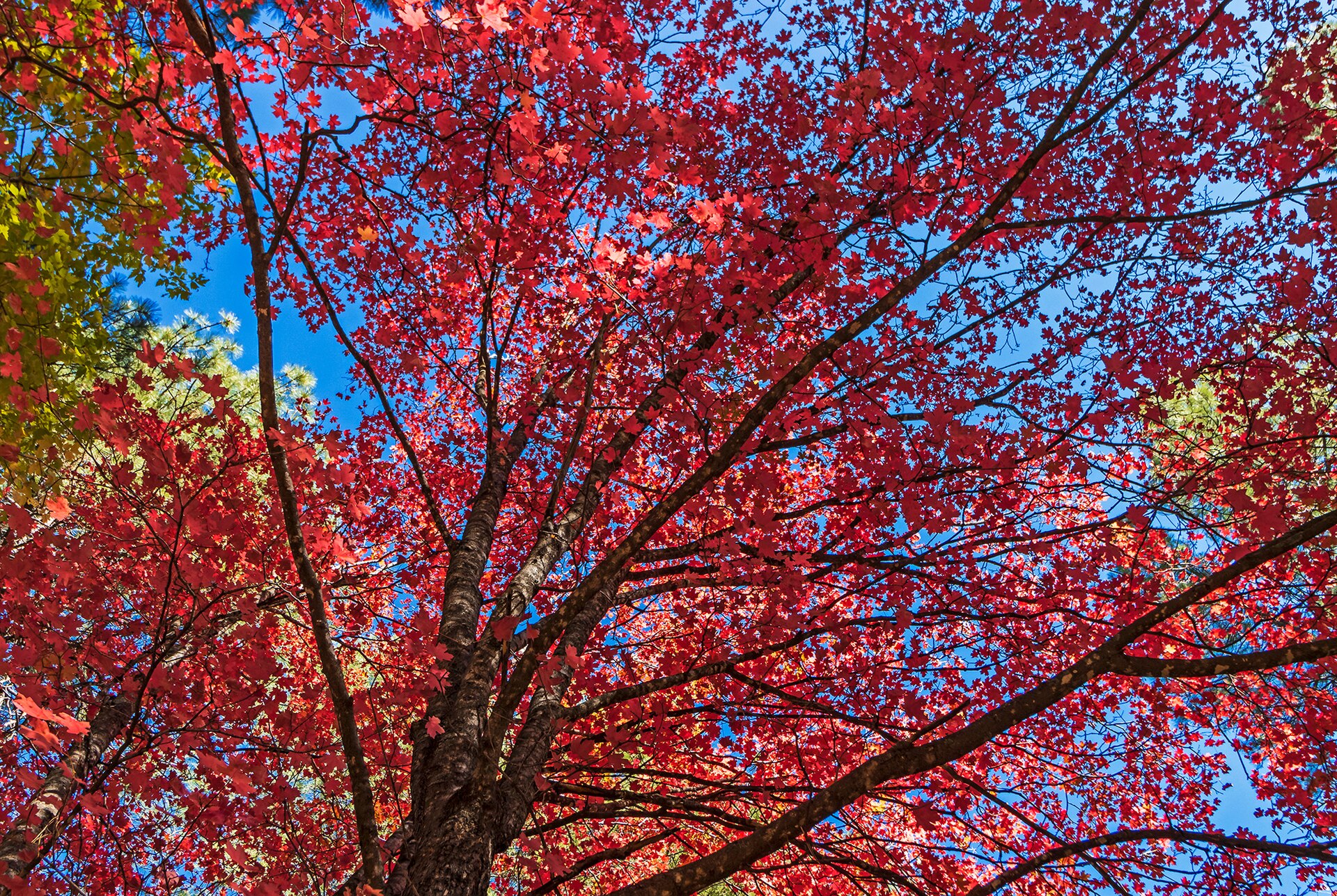
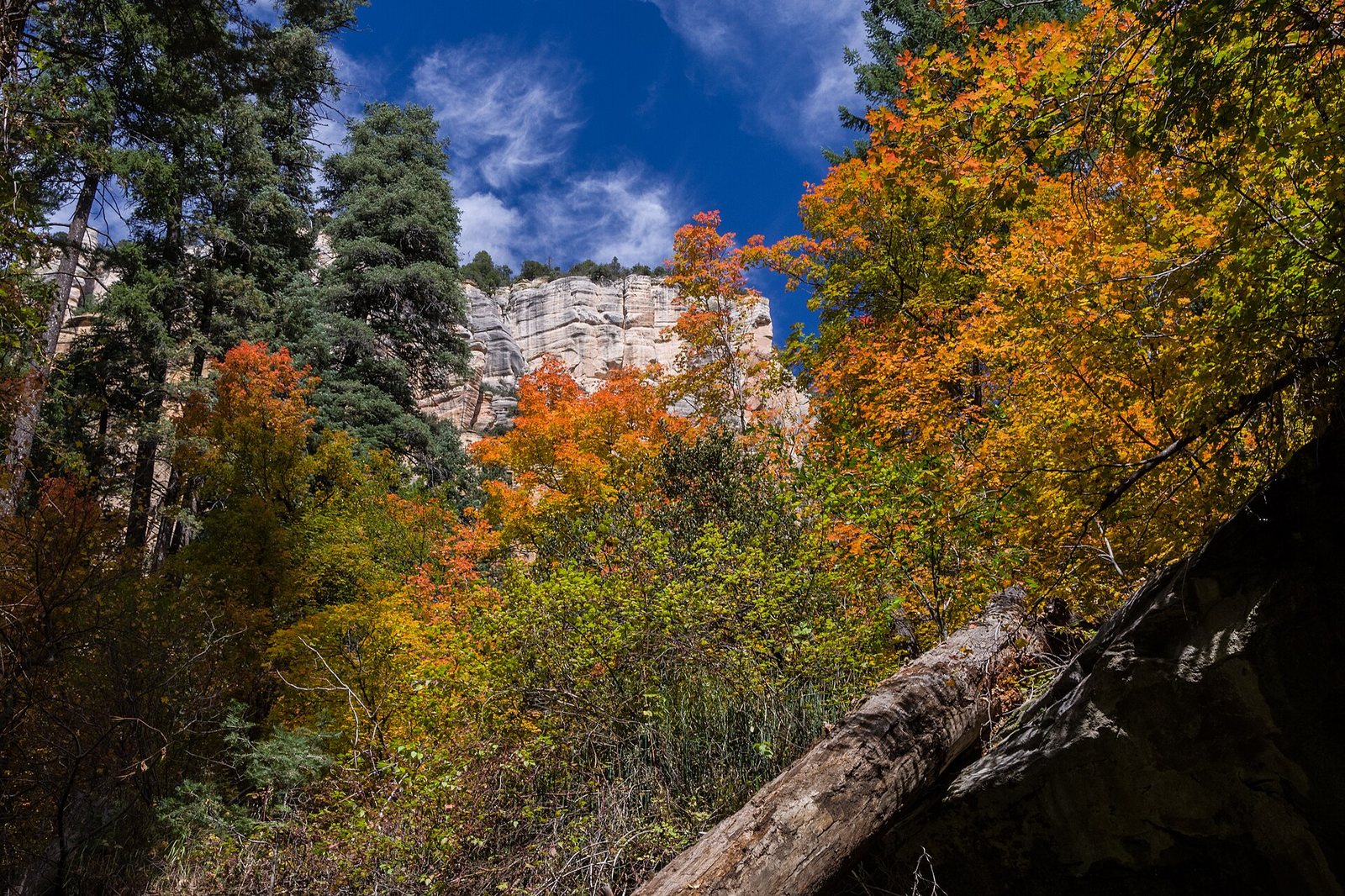
Vibrant Fall Colors In Oak Creek Canyon · Ray Redstone · CC BY-SA 4.0 · cropped
Good to know
A car is essential in Sedona, but the hardest trailheads solve themselves if you plan ahead: the free city shuttle serves Cathedral Rock, Soldier Pass, and the Devil's Bridge approaches, and a Red Rock Pass — or a federal America the Beautiful pass — covers your parking at the rest. Whatever you do, start early: the popular lots and the shuttle both fill soon after sunrise in spring and fall, and beating them beats the heat and the crowds in one move. Shuttle days and routes shift with the season, so check the current schedule before you rely on it.
The sights worth planning around
You do not need to see all of it, but a handful of sights are worth building your days around, most rewarding an early start before the lots fill.
- Cathedral Rock is the classic Sedona silhouette. The postcard view is not from the top but from Red Rock Crossing at the Crescent Moon day-use area, where the formation reflects in Oak Creek; the trail up the rock itself is short but a steep scramble. Use the free shuttle, since the trailhead lot closes to cars during shuttle hours.
- Bell Rock and Courthouse Butte sit beside the Village of Oak Creek, with easy, mostly flat pathways looping their bases — the gentlest introduction to the rocks and good for families.
- Devil's Bridge is the largest natural sandstone arch in the Sedona area, and the most-photographed hike in town. Reach it on foot from Dry Creek Vista or Mescal; the rough spur road to the closer trailhead needs a high-clearance four-wheel-drive vehicle, and every lot fills early, so the shuttle or a dawn start is the answer.
- The Chapel of the Holy Cross is a chapel built straight into the red rock in the mid-1950s, designed by the firm Anshen & Allen and driven by the local rancher and sculptor Marguerite Brunswig Staude. It is free to enter, open daily, and its wall of glass looks out over the Verde Valley. Parking is small and busy, so come early.
- Airport Mesa is the easy sunset spot right in town, a short climb to a saddle and a scenic lookout off Airport Road, with a wide view back over the rocks as the light goes.
- The vortex sites — Airport Mesa, Cathedral Rock, Bell Rock, and Boynton Canyon are the four best known — draw people who come to meditate or sit quietly at spots said to carry a particular energy. Whether or not you feel anything, they are genuinely good viewpoints and good short hikes, and you can take them however you like.
- Slide Rock State Park, up Oak Creek Canyon, is a historic apple farm where the creek has worn a natural sandstone chute you can slide down on a hot day. It charges a state-park fee, the small lot fills early and can require timed entry in peak season, and the water is cold year-round.
- Pink Jeep Tours is the long-running operator, going since 1960, and the only one the Forest Service permits to run the Broken Arrow trail. Departing from Uptown, it is the way to get the rock-crawling and the high viewpoints without your own four-wheel-drive.
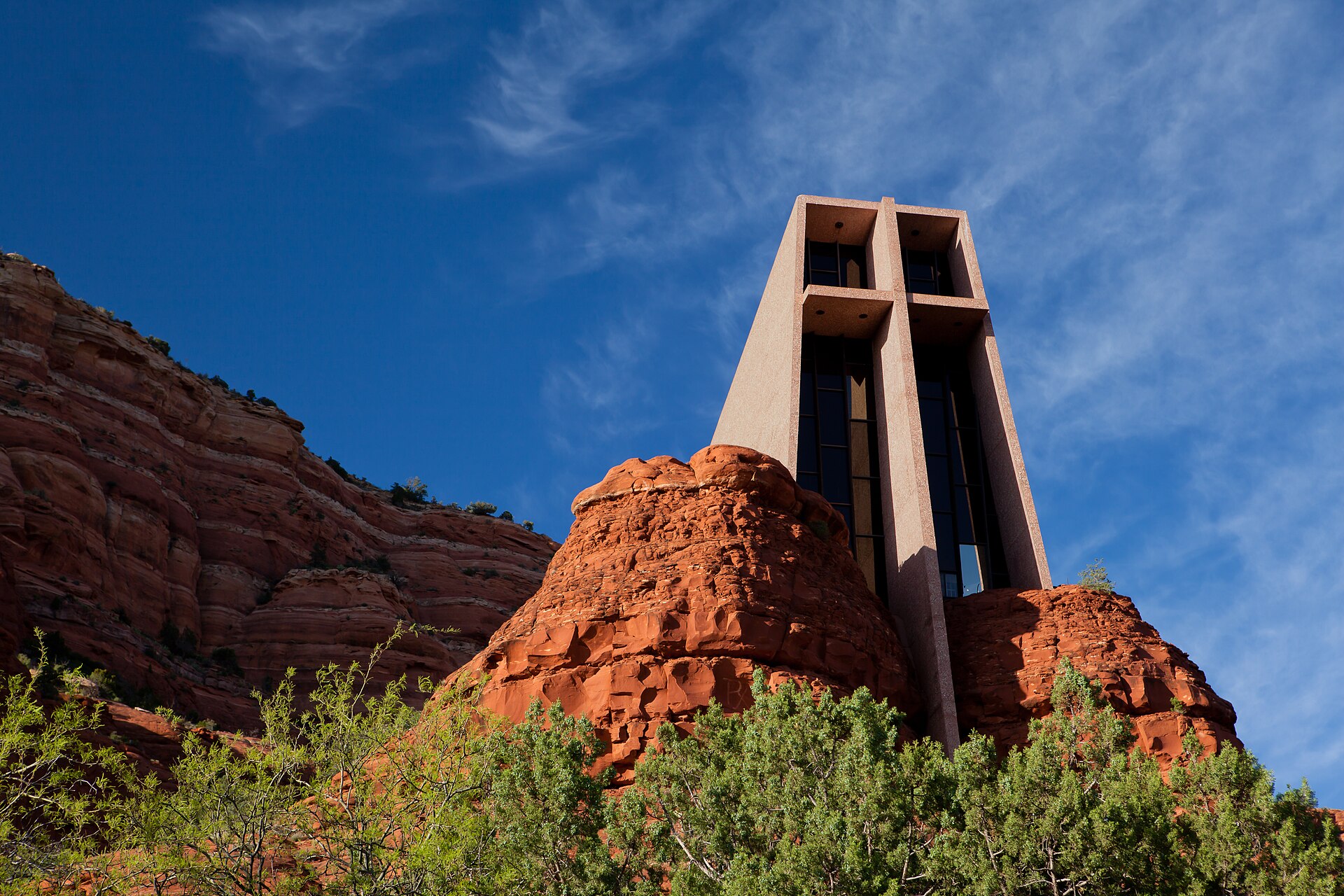
Chapel of the Holy Cross, Sedona, AZ · Matthew P. Del Buono · CC BY-SA 3.0 · cropped
Day trips: the Grand Canyon and wine country
Two day trips are worth planning for, in opposite directions and completely different in character.
The Grand Canyon's South Rim is about two hours north, a long but doable day: up 89A through Oak Creek Canyon to Flagstaff, then north to the park. Start early, bring layers, and remember the rim sits far higher and colder than Sedona, with snow into spring. If you can spare a night, the canyon rewards an overnight far more than a rushed round trip, with Flagstaff a natural midpoint.
In the other direction, the Verde Valley wine country is about half an hour southwest down 89A. Old Town Cottonwood is the walkable hub, a historic main street lined with tasting rooms, restaurants, and shops; the working vineyards themselves cluster a little further out around Page Springs and Cornville, along Oak Creek. Above it all, the old copper-mining town of Jerome climbs a steep hillside with more tasting rooms, galleries, and long views over the valley. Wine means a driver, so line up a designated one or take a tour. On the way back toward I-17 you can also stop at Montezuma Castle, a well-preserved Sinagua cliff dwelling, for an easy hour of something older than the vines.
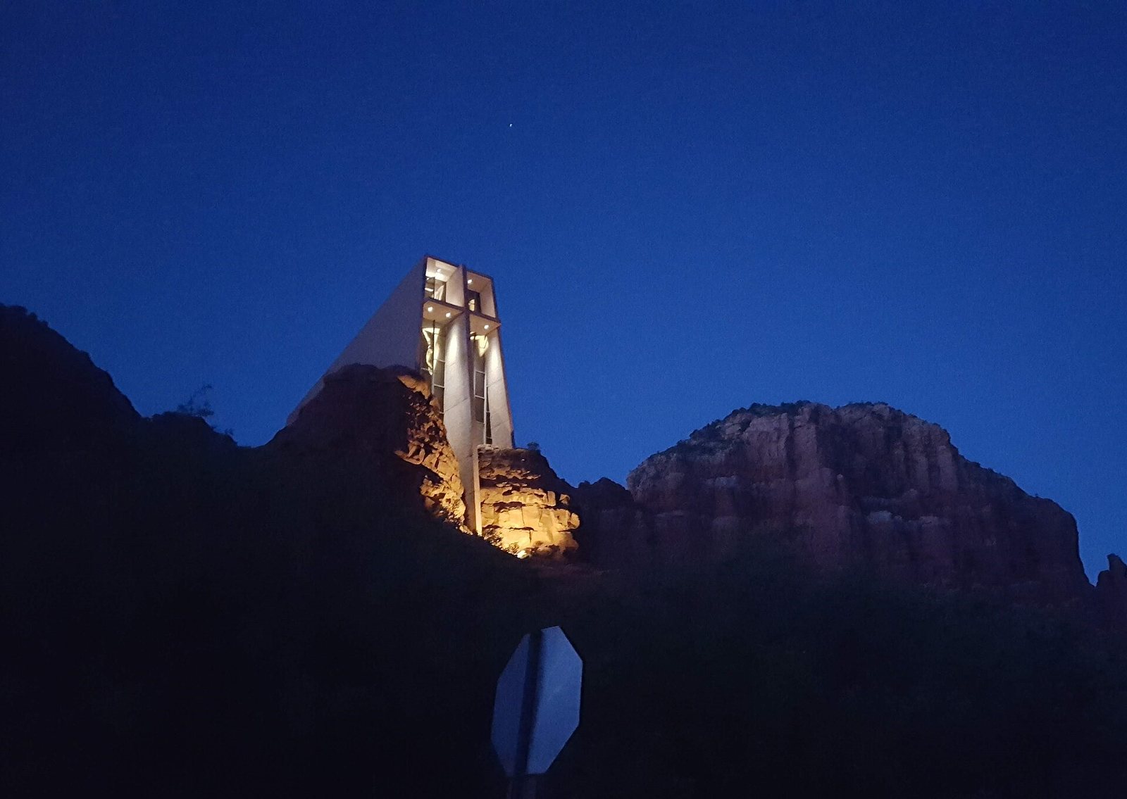
Chapel of the Holy Cross, night · LacDa.19 · CC BY-SA 4.0 · cropped
Where to eat
Sedona's cooking is Southwestern at heart, with a strong line in resort restaurants and patios built to face the rocks. The pattern is easy to read: Uptown has the casual, walk-to spots and the tourist tables; the Village of Oak Creek has its own cluster; and West Sedona holds the everyday, better-value places the locals use. Between the center and the Village on 179 sits Tlaquepaque Arts & Shopping Village, a warren of Spanish-colonial-style courtyards and fountains along Oak Creek with galleries and some of the better-known kitchens in town.
One thread ties the tables together: with the Verde Valley wine country next door, many restaurants pour Arizona wines, so it is easy to drink local without driving to the vineyards. Patio tables at sunset book up in spring and fall, so reserve a day or two ahead for anywhere with a view.
Some of the best meals here are the simple ones a block off the main drag — a plate and a cold drink at an unfussy spot in West Sedona will often beat the busy terrace charging for the view.
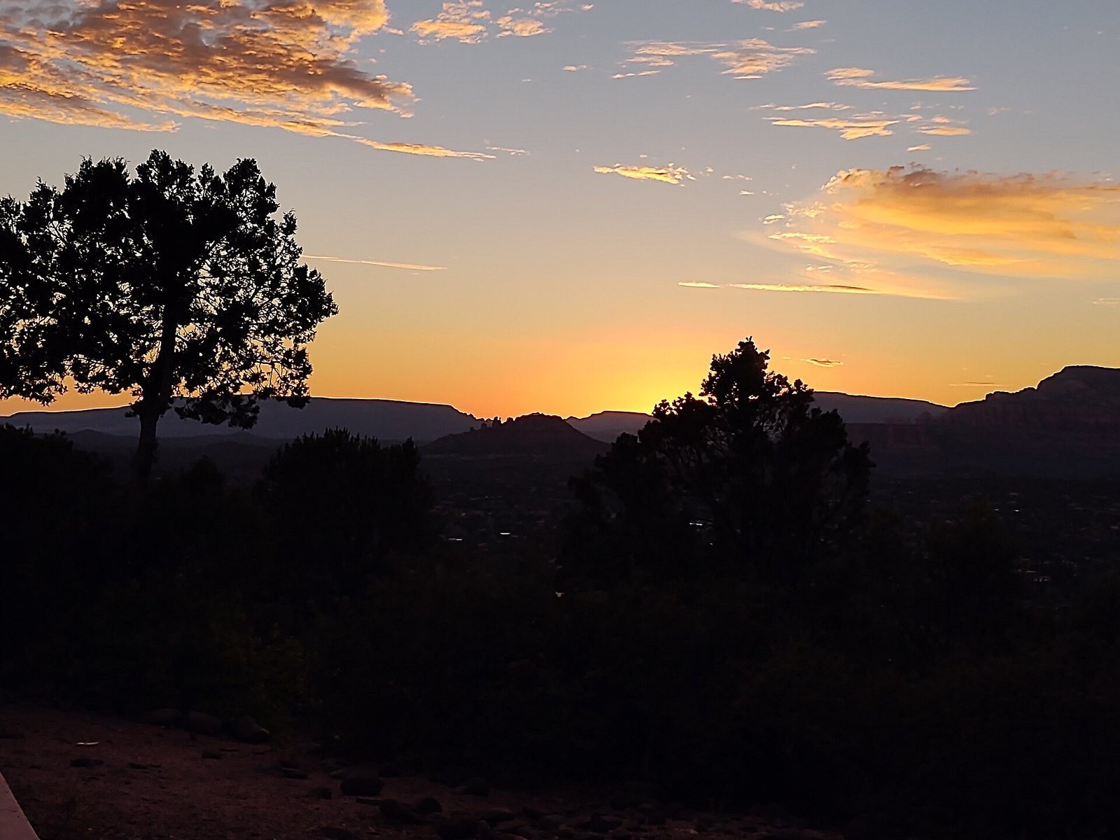
Sedona Sunset Airport Mesa · Greg Sumers · CC BY-SA 4.0 · cropped
Practical notes
- Altitude and sun: at about 4,350 feet the sun is strong and the air is dry, so carry more water than you think you need, wear a hat and sunscreen, and expect to feel a hike a little more than at sea level.
- Monsoon safety: from roughly July into September, afternoon thunderstorms can turn dry washes and slot canyons like West Fork into flash floods fast. Check the forecast, hike early, and get out of drainages when storms build.
- Passes and timed entry: carry a Red Rock Pass or a federal America the Beautiful pass for Forest Service trailheads, and remember the state parks and a few day-use sites charge their own fees; Slide Rock in particular fills early and can require timed entry.
- Start early: the popular trailhead lots and the shuttle fill soon after sunrise in high season. Midday is for the drive, the meal, or the shops.
- Dark skies: Sedona is a certified International Dark Sky Community, with lighting kept low at night, which makes for good stargazing — bring a torch for the walk back from dinner or a viewpoint.
- Leave No Trace: stay on the trails, pack out everything, and do not stack rock cairns; the red rock is fragile and heavily walked, and the cairns confuse other hikers.
- Cash and cards: cards work nearly everywhere, but keep a little cash for the trailhead pass machines and for tips.
By the numbers
Common questions
Which area should I stay in for a first trip?
Uptown or West Sedona. Choose Uptown if you want to be central and walk to dinner, and do not mind crowds and higher rates; choose West Sedona for better value and quick access to the west-side trails. The Village of Oak Creek is the quieter alternative south of town, and Oak Creek Canyon is for people who want pines and the creek over the red-rock bustle.
Do I need a car?
Yes. The free shuttle covers a handful of trailheads and the on-demand Shuttle Connect covers town, but the sights and the day trips are spread across the forest with no full transit system to tie them together. Rent at Phoenix Sky Harbor, or at Flagstaff if you fly in there.
Do I need a Red Rock Pass?
To park at most National Forest trailheads, yes, unless you already hold a federal America the Beautiful interagency pass, which is accepted in its place. Display it on the dash. State parks like Slide Rock and a few day-use sites charge their own separate fees the Red Rock Pass does not cover.
When is the best time to visit?
Spring, roughly March into May, and fall, September into November, give you warm days, cool nights, and the trails at their best, though they are also the busiest and priciest. Summer is hot but noticeably cooler than Phoenix, with monsoon storms from July into September; winter is quiet and mild by day, cold at night, with the occasional dusting of snow on the rocks.
How do I get to Cathedral Rock and Devil's Bridge?
For both, parking is the hard part. Use the free Sedona Shuttle for Cathedral Rock, since the trailhead lot closes to private cars during shuttle hours. For Devil's Bridge, take the shuttle or start very early from the Dry Creek Vista or Mescal trailheads; the rough spur road to the closer trailhead needs a high-clearance four-wheel-drive vehicle.
Is Sedona a good base for the Grand Canyon?
Yes, for a day trip. The South Rim is about two hours north and makes a long but doable day, with Flagstaff a natural midpoint. If you can spare the time, though, the canyon is worth an overnight rather than a rushed round trip from Sedona.
Sources & further reading
- Visit Sedona — the official Sedona tourism site
- City of Sedona — official city government site
- Sedona Shuttle — official trailhead routes and Shuttle Connect
- Coconino National Forest — Red Rock & Coconino passes program (USFS)
- Coconino National Forest — Oak Creek Canyon Scenic Drive (USFS)
- Slide Rock State Park — Arizona State Parks
- Chapel of the Holy Cross — official site
- Grand Canyon National Park — National Park Service
Comments