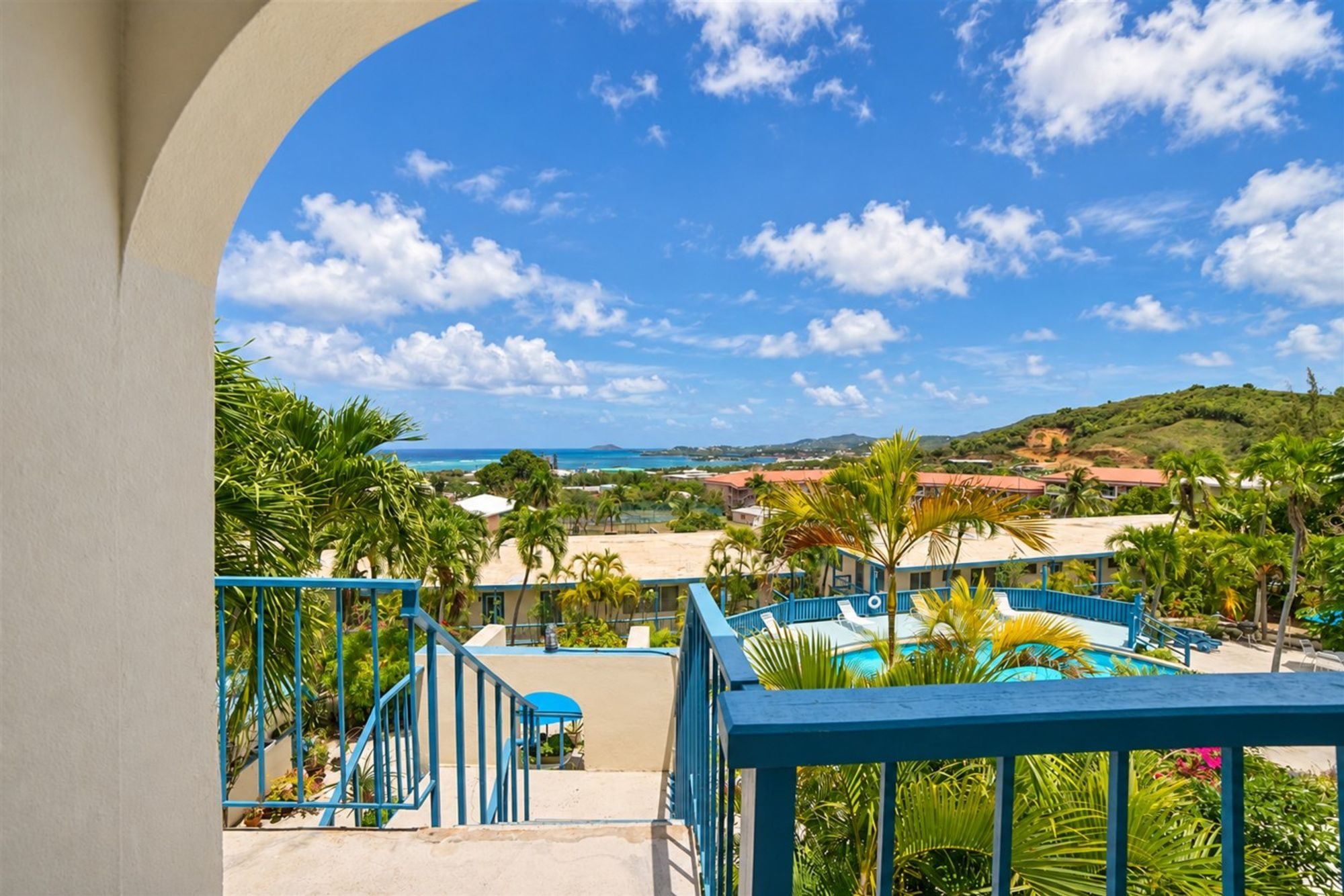
At a glance
- Base
- Christiansted, the East End, the North Shore, Frederiksted, or resorts west of Christiansted.
- When
- January to April for settled weather; late April to June, or November to mid-December for value.
- Getting there
- Flights to Henry E. Rohlsen Airport (STX) from mainland US, or connect via San Juan or St. Thomas.
- Getting around
- Rental car essential; drive on the left, but most cars are left-hand-drive; low speed limits.
- Book ahead
- Flights and best villas for winter; Buck Island tours; dinner in high season; rental car for winter.
- The price
- Season (mid-Dec to mid-Apr is high), proximity to water, size of lodging, length of stay.
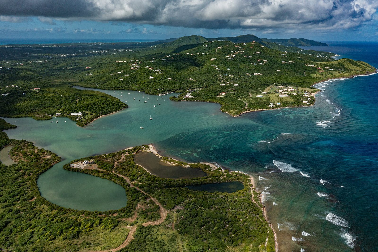
St. Croix is the largest of the U.S. Virgin Islands and the least crowded of the three, and the decision that shapes a trip here is which part of it you wake up in. The island covers about 84 square miles, some 22 miles from end to end, with about 41,000 people at the 2020 census, and it changes as you drive it: dry hills and empty bays at the East End, a Danish harbour town on the north-east coast, a reef wall a short swim off the North Shore, and a quieter port town on the west, where the sun goes down. Choose a base that matches what you came for and the island is easy. Choose the wrong one and the week goes on the road between them.
Most visitors arrive picturing Christiansted's yellow fort or a beach on the North Shore, and either is a sound place to start. But the answer to where to stay depends on what you want your days to look like. Christiansted puts restaurants and the Buck Island boats within walking distance. The East End is for space, privacy and the water close by. The North Shore is for divers. Frederiksted is for a slower town and the sunset side of the island. This guide walks through how St. Croix is laid out, the areas worth basing in, the kinds of places to stay, when to come and what hurricane season means for a trip, how to get here and get around, and the sights, beaches and food worth building your days around.
In this guide
How St. Croix is laid out
The island lies long and narrow, east to west. Christiansted, the main town, sits on a sheltered harbour on the north-east coast. Frederiksted, the second town, sits on the west coast, facing the sunset. Two main roads join them: Centerline Road, officially the Queen Mary Highway, runs through the middle of the island past the old sugar estates, and the Melvin Evans Highway, Route 66, is the faster road along the island's southern side. East of Christiansted the island narrows into the East End, a ridge of dry hills that ends at Point Udall. West of town, the North Shore runs past Salt River Bay and Cane Bay toward the green north-west corner.
The land changes as you go. The East End and the south are dry, with scrub, cactus and century plants on the hills; the north-west is wetter and greener, with a stretch of tall mahogany and silk-cotton trees around Mahogany Road that islanders call the rainforest. The high point, Mount Eagle, is about 1,165 feet. These are rolling hills, not mountains, and there are no waterfalls or volcanic peaks here. The water is the main event. Buck Island Reef National Monument lies about a mile and a half off the north-east coast, the Cane Bay wall drops into deep water a few hundred yards off the North Shore, and long stretches of the north and east coasts sit behind fringing reef that keeps the water calm close to shore.
Why does this matter for where you sleep? Because St. Croix is a car island, with low speed limits and the things people come for spread around its edges. The Buck Island boats leave from Christiansted and the East End. The best shore diving is on the North Shore. The sunsets, the pier dive and the leatherback beach are in the west. Pick the corner that holds most of what you want, and treat the rest as day trips.
The areas worth basing in
Five areas cover almost every sensible plan. Here is who each one suits.
- Christiansted is the island's harbour town and its liveliest base: a grid of arcaded Danish-era streets, the yellow walls of Fort Christiansvaern, a boardwalk along the water, and most of the island's restaurants within a few blocks. The licensed Buck Island boats leave from the wharf, and Protestant Cay, a small island with a beach and a hotel, sits a short boat ride off the boardwalk. The trade-off is that the bigger beaches are a drive away, and you will still want a car for the rest of the island. Good for first-timers, couples and anyone who wants to walk to dinner.
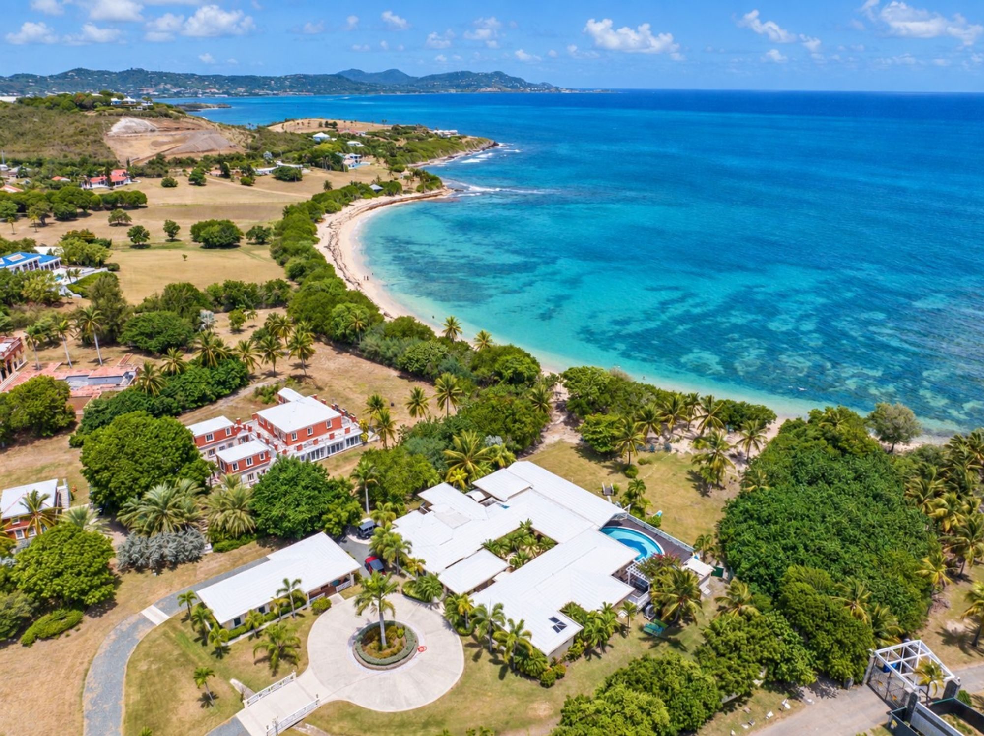
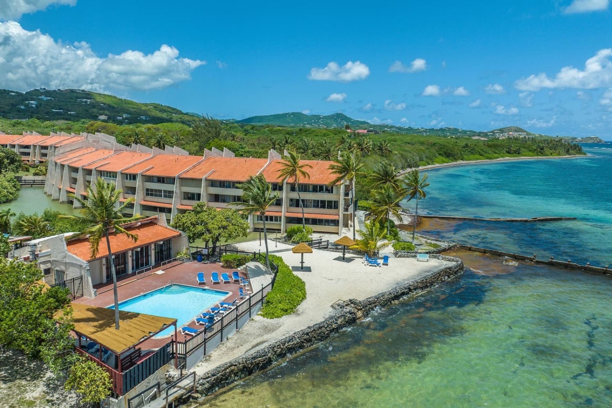
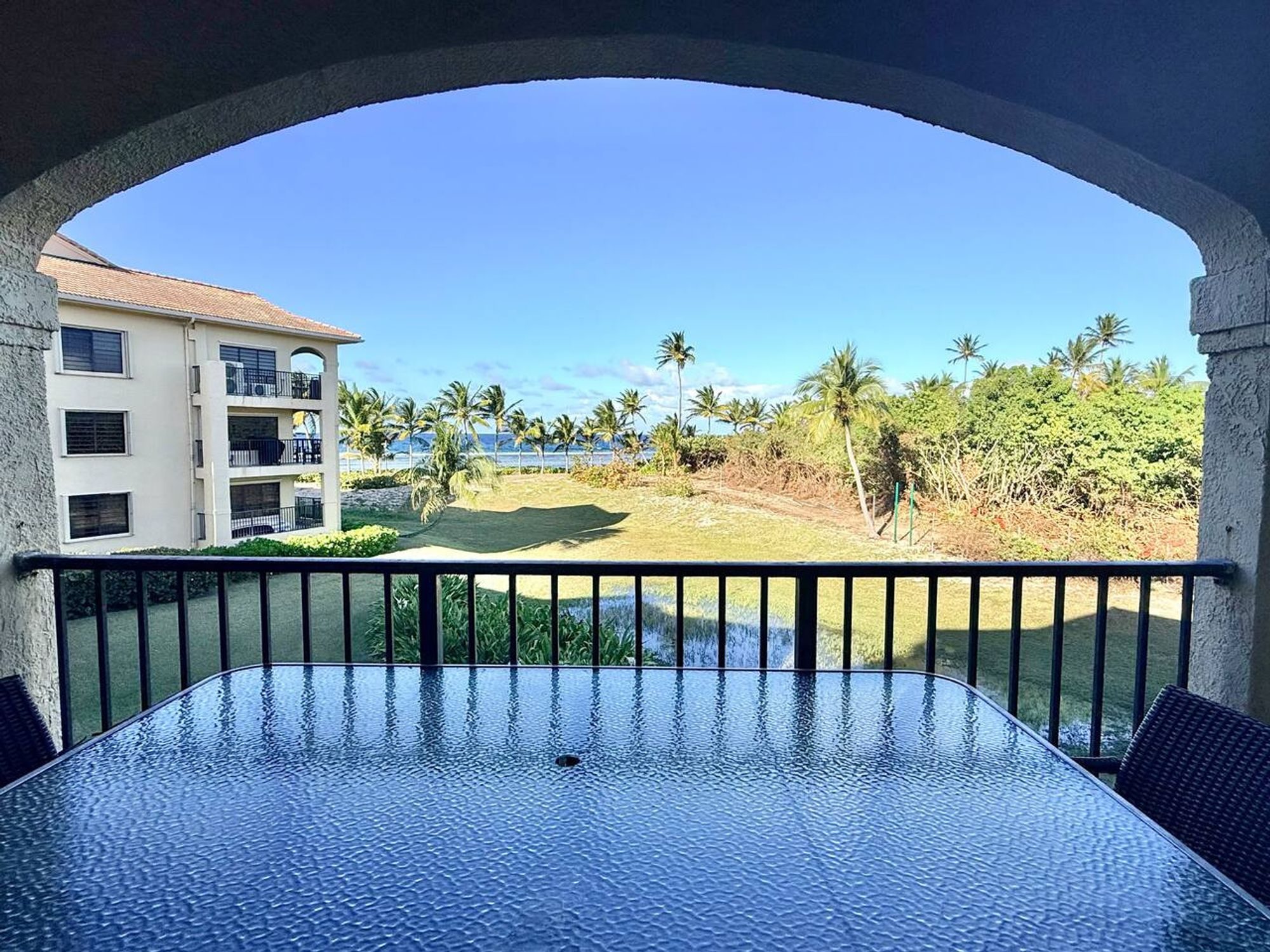
- The beach resorts west of Christiansted, around Estate Golden Rock and La Grande Princesse, are a run of condo resorts and small hotels on the sand just outside town, among them Club St. Croix, Colony Cove and the Palms Resort & Beach. You get a beach out the door, a kitchen, and a short drive to the restaurants. Good for families and longer stays.
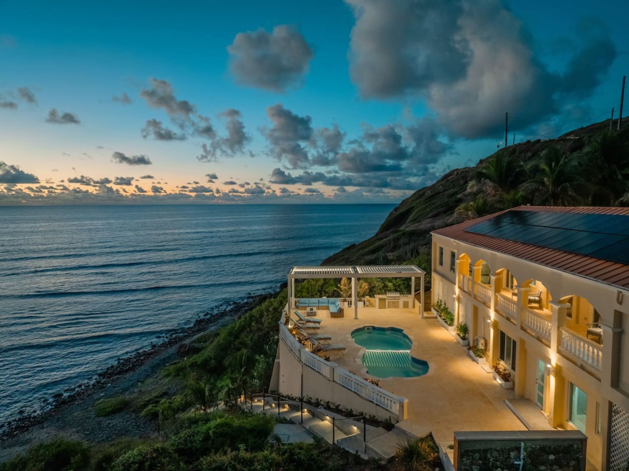
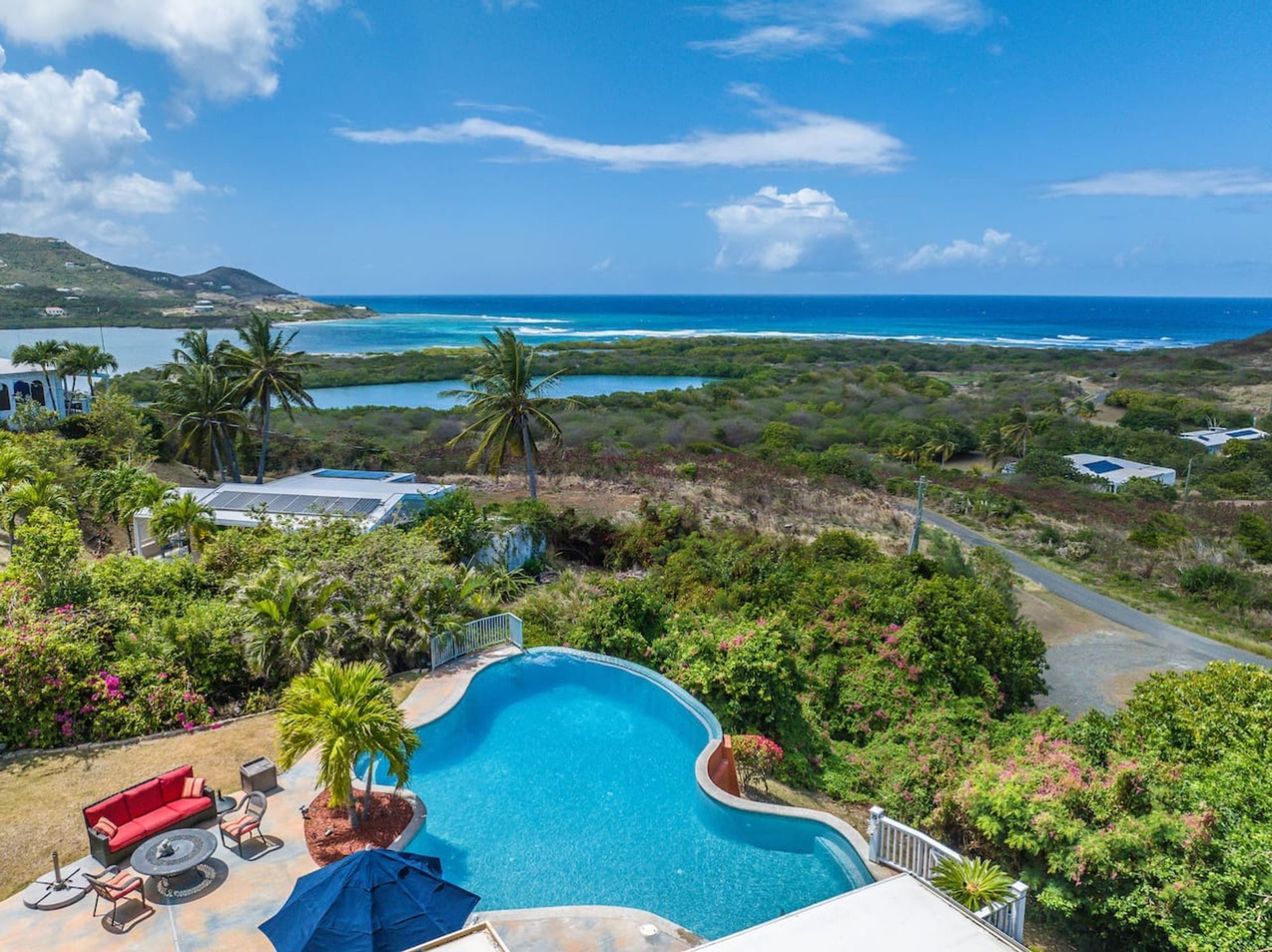
- The East End runs from the edge of Christiansted out to Point Udall. It is the dry, open, quieter end of the island: the Buccaneer just outside town, Tamarind Reef by Green Cay Marina, the Grapetree Bay Hotel and Carina Bay on the south shore, private villas on the ridges and above the bays, and the hike-in beaches of Jack and Isaac Bays near the tip. There is no town out here, so you drive in to Christiansted for dinner and supplies, and in return you get space, privacy, the sunrise, and at the right house the sea a few steps from the terrace. Good for groups, families and anyone who wants a house rather than a hotel room. This is where The Cerulean, one of the houses in Amorielli's Collection, sits: a five-bedroom villa on a gated estate above the water.
- The North Shore runs west from Salt River Bay past Cane Bay and Davis Bay toward the rainforest. It is the island's diving coast, with the Cane Bay wall reachable from the beach, a few small beach hotels and dive shops, green hills behind and an easy beach-bar pace. The big resort here, Carambola at Davis Bay, closed in 2026 and is being rebuilt as a Club Med, due to open in late 2027, so expect construction at that end. Good for divers, snorkellers and people who want a small hotel on the sand.
- Frederiksted and the West End are the slower, sunset side of the island. Frederiksted is a small port town of arcaded buildings along Strand Street, with the red walls of Fort Frederik and a long cruise pier that doubles as a well-known shore and night dive. Rainbow Beach is just north of town, and the long sands of Sandy Point lie to the south. The town is livelier on cruise-ship days, and it is the far end of the island from the East End. Good for divers, sunset people and anyone who likes a small town.
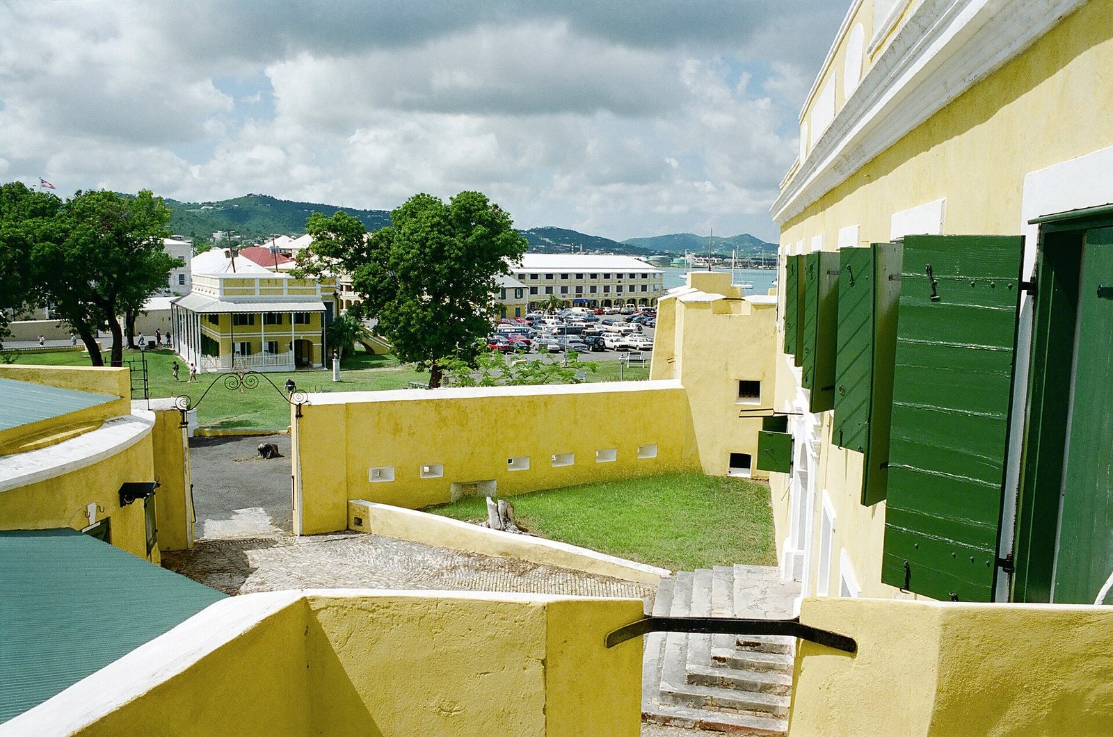
Fort Christiansvaern 96b · Gillfoto from Juneau, Alaska, United States · CC BY-SA 4.0 · cropped
| Area | Feel | Water | Getting around | Best for |
|---|---|---|---|---|
| Christiansted | Historic harbour town, the most restaurants | Harbour, Protestant Cay; beaches a drive away | Walk in town; car for the island | First-timers, couples, walking to dinner |
| Resorts west of town | Condo resorts and small hotels on the sand | A beach out the door | Short drive to Christiansted | Families, longer stays with a kitchen |
| The East End | Dry, open, private; villas and a few resorts | Reef-sheltered bays, hike-in beaches | Car essential; Christiansted for dinner | Groups, families, a house of your own |
| The North Shore | Green hills, dive shops, beach bars | The Cane Bay wall, a short swim out | Car essential | Divers and snorkellers |
| Frederiksted & West End | Small port town, slower pace | The pier dive, Rainbow Beach, Sandy Point | Walk in town; car for the rest | Sunsets, divers, a quiet base |
Where to sleep, and what drives the price
Lodging on St. Croix sorts into three kinds. The first is the hotel, and most of the island's hotels are small, several of them family-run. The Buccaneer, about two miles east of Christiansted, has been run by the Armstrong family since 1947 and has its own golf course and three beaches. Hotel on the Cay has Protestant Cay in Christiansted harbour to itself and stays open through a renovation scheduled into 2027. The Fred is an adults-only hotel on the beach in Frederiksted. Tamarind Reef, east of town beside Green Cay Marina, is a forty-room beach hotel. On the south shore of the East End, the Grapetree Bay Hotel reopened in 2021, and Carina Bay is the island's adults-only all-inclusive, with a casino. On the North Shore, The Waves at Cane Bay is a small suites hotel over the water, and Cottages by the Sea, just south of Frederiksted, has been family-run since 1949.
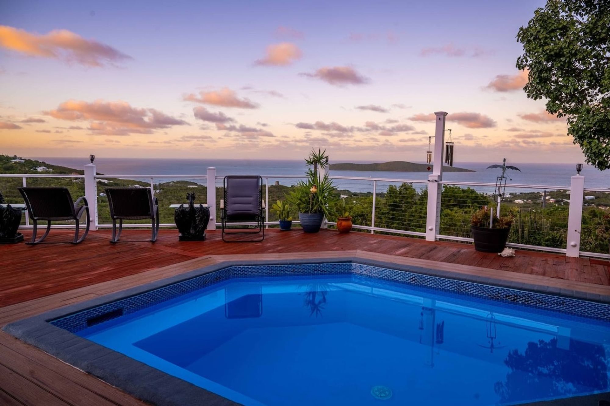
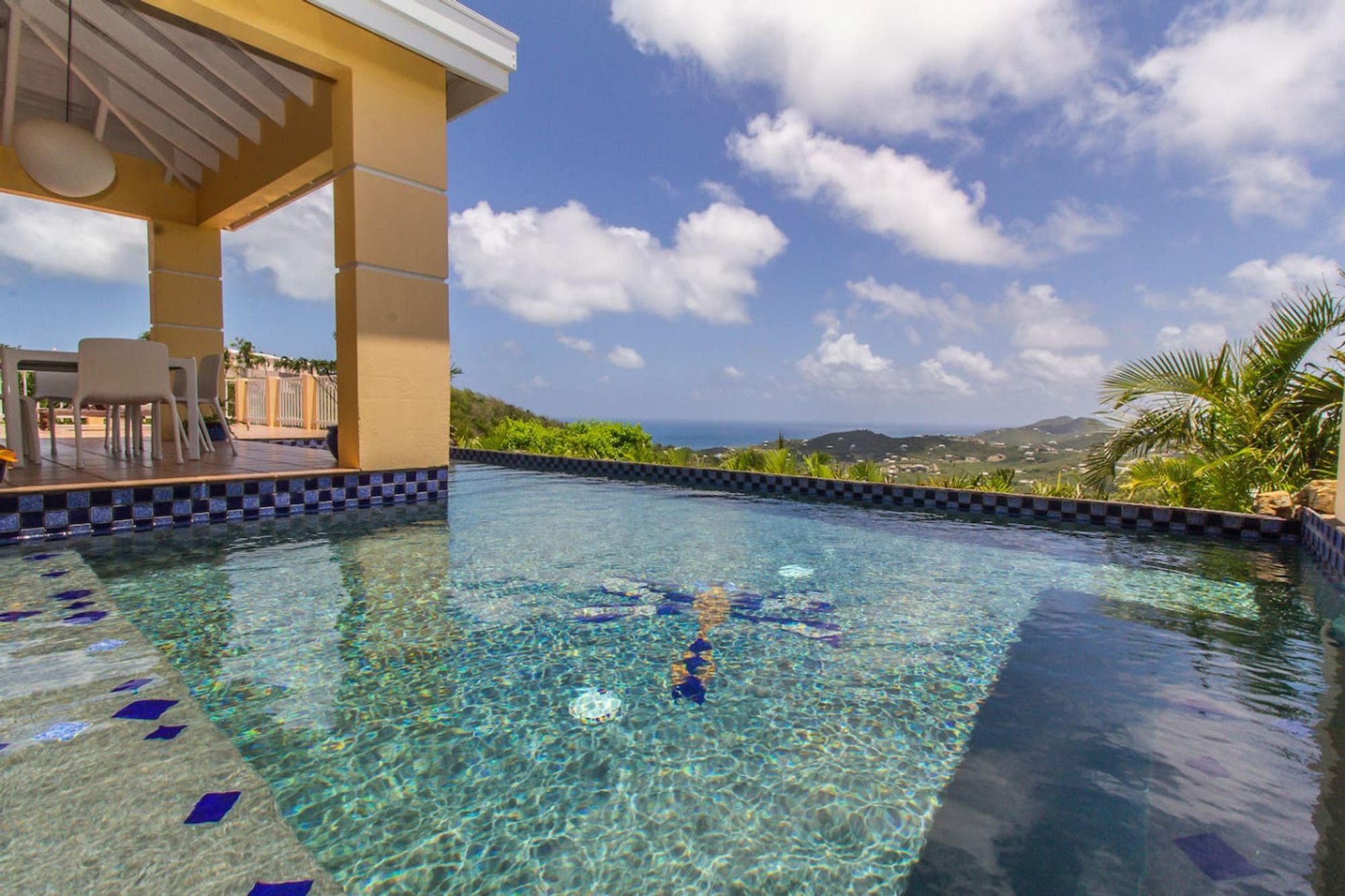
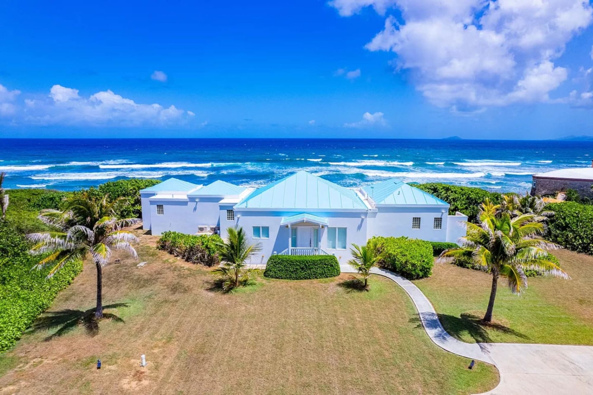
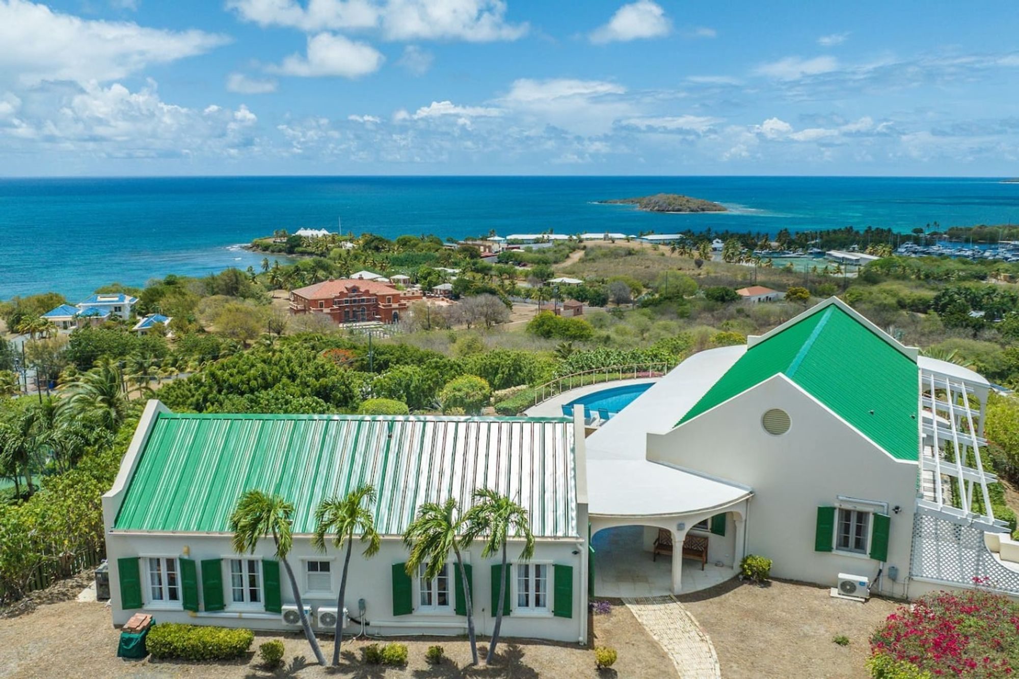
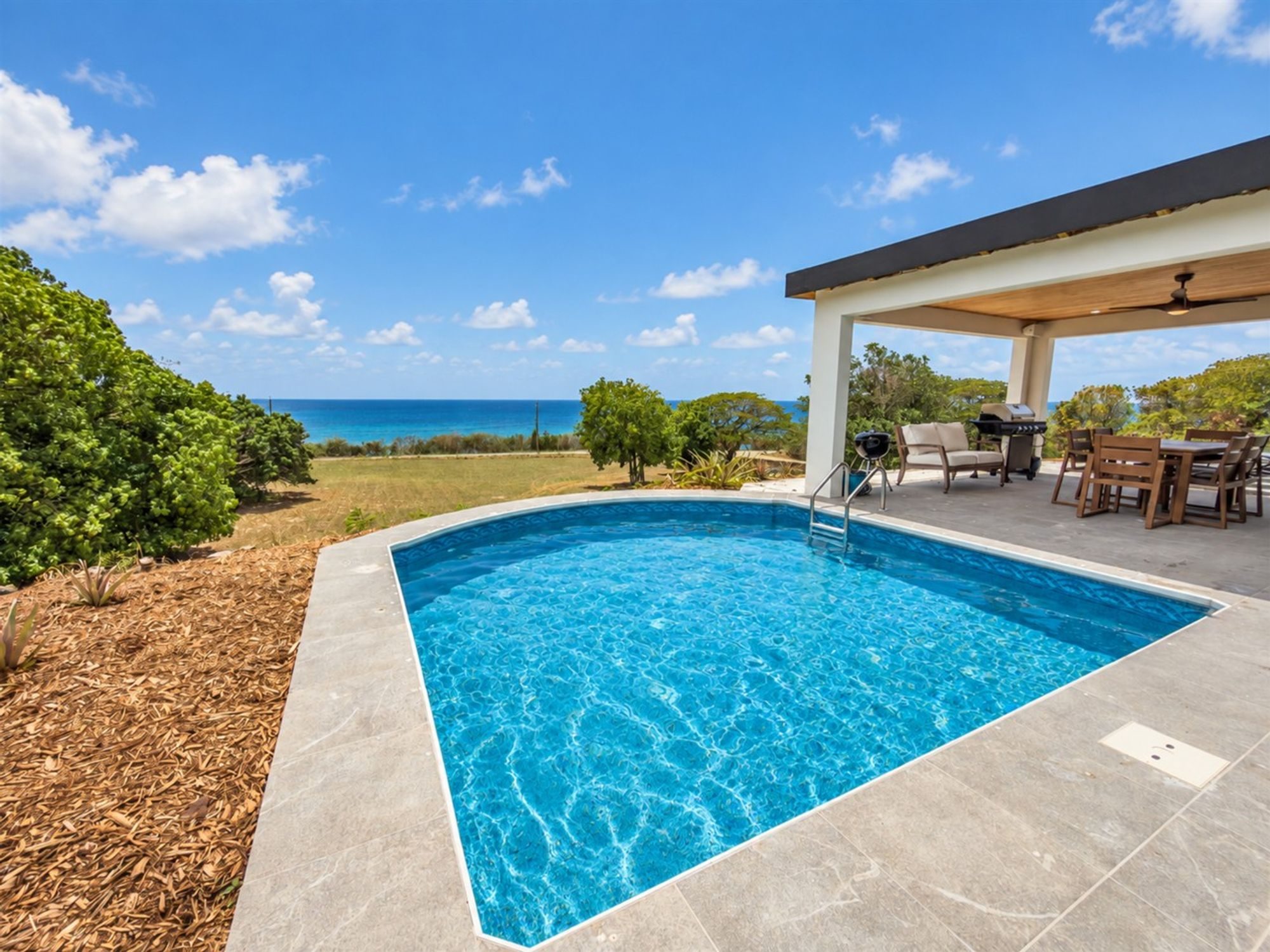
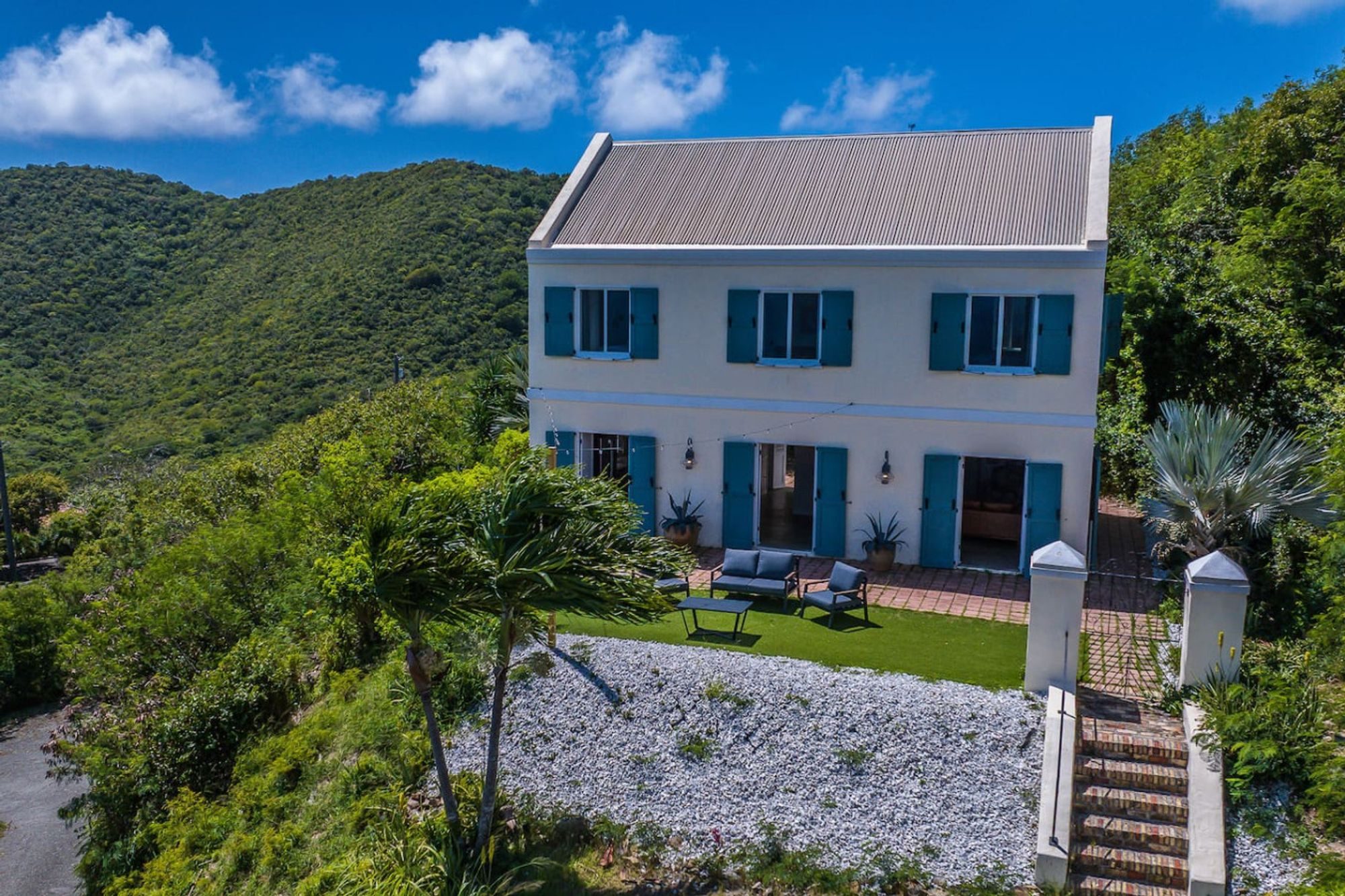
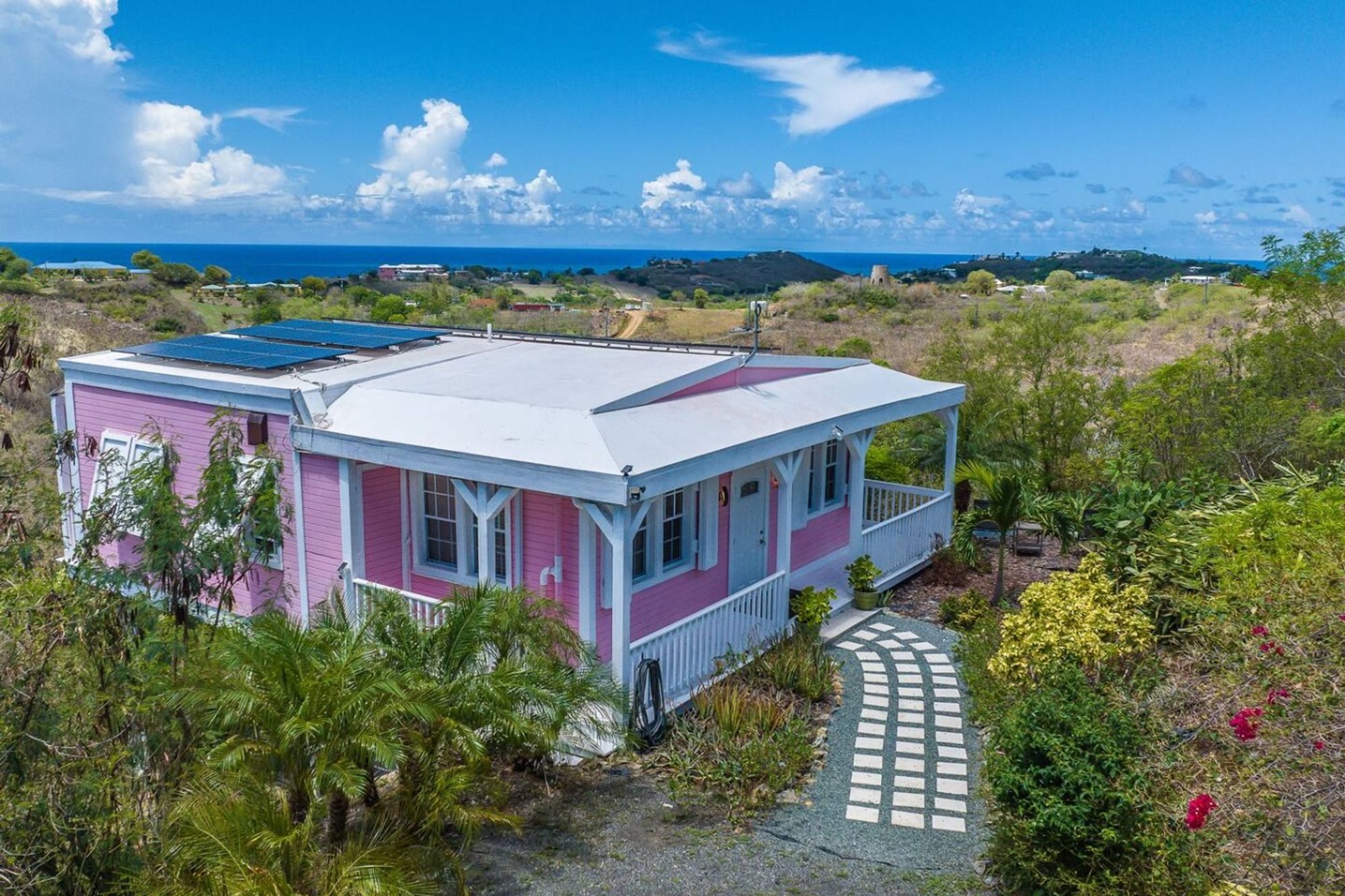
The second kind is the condo resort, clustered on the beaches just west of Christiansted, where you get a kitchen, a pool and the sand. The third, and the one that suits St. Croix best for a group, is the private villa. The East End in particular has whole houses for rent on its ridges and above its bays, from small cottages to estates that sleep a dozen, and they give a family or a group of friends more room, more privacy and a pool of their own.
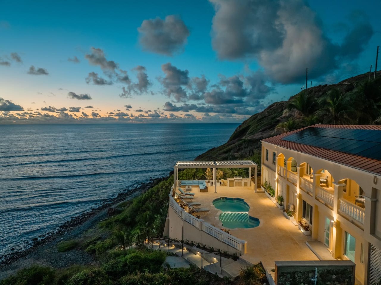
The Cerulean is one of them, and one of the houses in Amorielli's own Collection. It is a five-bedroom, five-bath villa on a gated East End estate, about fifteen minutes' drive from Christiansted, built on the slope above the sea, with a pool deck, an outdoor kitchen and covered terraces facing the water. The property runs down to a private beach, where a reef keeps the water shallow and calm enough to snorkel from the shore. Four bedrooms are in the main house; the fifth is in a separate guest cottage with its own kitchen and a loft bed, and the house is only ever let as a whole, sleeping twelve. Sterling Point, which manages it, runs about a dozen more homes around the island through SP Vacations, from beach houses and condos to a hilltop villa, among them Shoy's Beach House, a six-bedroom villa in the gated Shoys community east of Christiansted, with the beach through its back garden. All of them are booked direct with the people who run them, and you will find them in the Collection; The Cerulean has its own page.
Four things move the price more than anything else. The first is the season: mid-December to mid-April is high season, the Christmas and New Year weeks sit at the top of it, and rates fall away through the summer and autumn. The second is the water: a house or a room right on the sea, or with a pool deck over it, costs more than one up the hill. The third is size, and here villas work in a group's favour, because the cost per person falls as the party grows. The fourth is the length of stay, since many villas set minimum stays, longer in high season.
On St. Croix the place you stay is where you spend much of the day. The beaches are rarely crowded, the restaurants are a drive away, and a house with its own pool and a reef out front is where a group ends up most afternoons. Choose it with that in mind.
The practical move is to decide how you will spend your days, then book: early for February and March, very early for the Christmas weeks, when the Crucian Christmas Festival fills the island, and on flexible terms if you are coming in the autumn.
When to go
St. Croix is warm all year. Average highs at the airport run from the mid-80s Fahrenheit in winter to about 90 in late summer, the trade winds blow steadily from the east, and the sea is swimmable in every month. What changes through the year is the rain, the crowds and the risk of a storm.
High season runs from mid-December to mid-April. These are the driest months, February most of all, and the busiest and most expensive, with flights and the best villas booked well ahead. The season opens with the Crucian Christmas Festival, the island's carnival: this winter the festival village runs from December 26 to January 2, with J'ouvert on New Year's Eve, the children's parade on New Year's Day and the adults' parade and fireworks on January 2. St. Croix Agrifest, the island's agriculture and food fair, is usually held over Presidents' Day weekend in February.
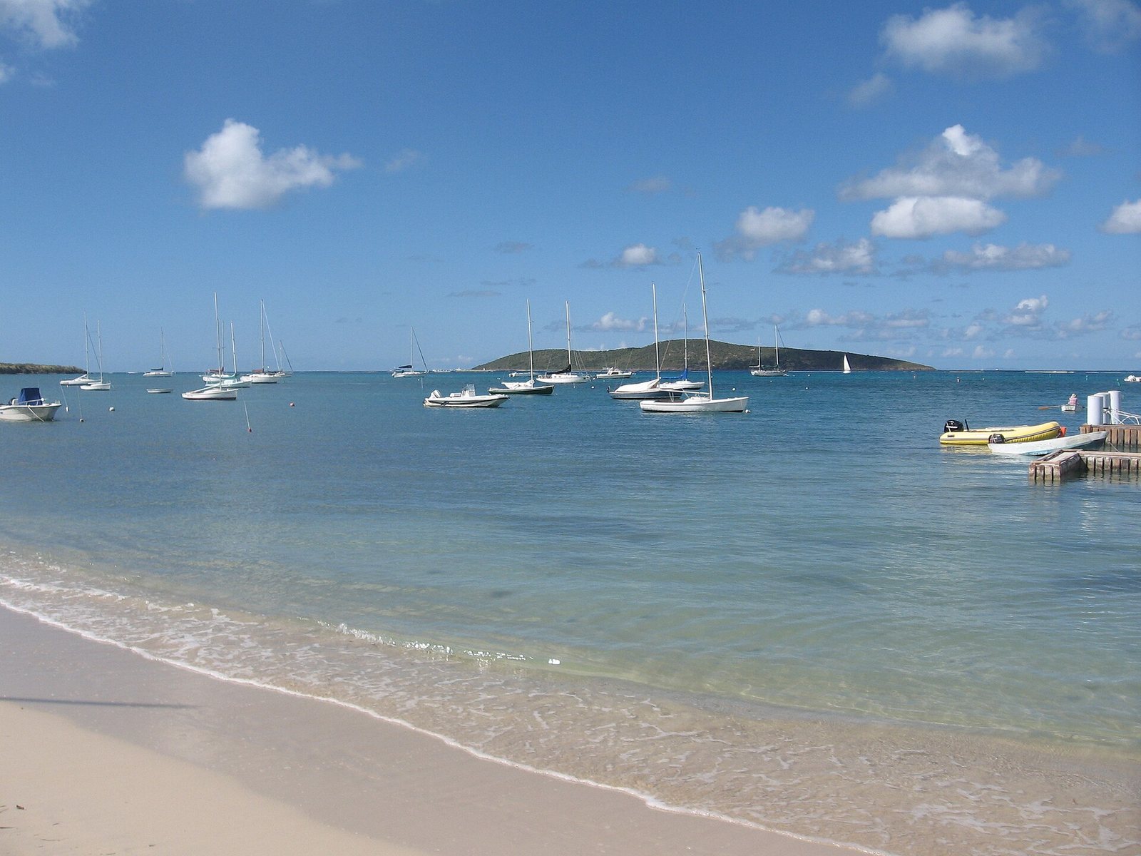
2008-01-27 Teague Bay Beach St. Croix USVI · Jpheym Jason P. Heym / Seascape Pool Center Inc. · CC BY-SA 3.0 · cropped
Late April through June is a good shoulder: still mostly dry, quieter and cheaper. Note one closure. From spring through the end of August, the long beach at Sandy Point is closed to visitors while leatherback turtles nest there.
Hurricane season runs from June 1 to November 30, and its peak, from mid-August to mid-October, is the part to take seriously. Many seasons pass quietly, but the island has been hit: in September 2017 Hurricane Maria, a Category 5 storm, passed some 20 to 25 miles south of St. Croix and brought its eyewall over the island, two weeks after Irma struck St. Thomas and St. John. Coming between August and October is a trade. You get the lowest rates and the emptiest beaches, against the chance of a storm and of finding some restaurants closed, since many take their annual break in September and October. If you come then, buy travel insurance that covers hurricanes, book refundable flights and a villa with a clear storm policy, and follow the National Hurricane Center's outlook in the week before you leave.
For most people, January to April is the time for settled weather, and late April to June, or November into mid-December, the time for value. November is usually the wettest month, but it is past the peak of the storm season, and early December is the last quiet window before the holidays begin.
Getting there, and getting around
St. Croix is a U.S. territory, which makes it unusually easy for Americans. U.S. citizens need no passport, only the same REAL ID-compliant identification they would show for a domestic flight, and the currency is the U.S. dollar. The one difference comes on the way home: before you fly back to the mainland you clear U.S. Customs and Border Protection at the airport, filling in a declaration and sometimes showing proof of citizenship. The duty-free allowance for goods bought in the U.S. Virgin Islands is $1,600 a person.
Flights land at Henry E. Rohlsen Airport (STX), on the south coast about six miles south-west of Christiansted. The mainland nonstops change with the season. American flies from Miami every day of the year, flies from Charlotte daily from December 17 and adds Chicago O'Hare on Saturdays from December 5; Delta flies from Atlanta daily except Mondays from December 19. United's new Saturday nonstop from Newark starts on October 31, 2026, the first New York-area nonstop to the island since 1994. Otherwise you connect through San Juan or St. Thomas, with JetBlue and Cape Air among the airlines. Spirit's Fort Lauderdale flight ended when the airline stopped flying in May 2026.
Between the islands, a seaplane runs from Christiansted harbour to Charlotte Amalie on St. Thomas in about 25 minutes, and a passenger ferry makes the slower crossing, about two hours, from Gallows Bay by Christiansted. Check both operators' current timetables before you plan around them.
You will want a car. Taxis charge fixed fares by destination and per person, set by the Virgin Islands Taxicab Commission, and there is no Uber or Lyft, so a week of taxis adds up. Rent at the airport and book early for the winter. Then remember the island's one real surprise:
- Drive on the left. Traffic keeps left, but most cars are ordinary American left-hand-drive models, so the driver sits on the kerb side. Go slowly on the first day, especially at turns and junctions, where the habit of a lifetime pulls you to the right.
- The speed limits are low: 20 mph in towns, 35 mph on most roads, and 55 mph only on the Melvin Evans Highway. Roads in the hills are narrow and winding, so allow more time than the distances suggest.
- Learn the two main roads. Centerline Road, the Queen Mary Highway, runs through the middle of the island; the Melvin Evans Highway runs along the south. Most trips between the East End and Frederiksted use one or the other.
The sights worth planning around
You do not need to see everything, but a handful of places are worth building days around, and the water ones reward your calmest, clearest mornings.
- Buck Island Reef National Monument is the one not to miss. President Kennedy protected the island and its reef in 1961, and the monument was greatly expanded in 2001. It lies about a mile and a half off the north-east coast, and the only way out is on a park-licensed tour boat from the Christiansted wharf or Green Cay Marina on the East End. A trip usually pairs the underwater snorkel trail through the reef on the island's east side with a stop at Turtle Beach on the west. Drones are banned.
- Christiansted National Historic Site, created in 1952, is the old Danish core of the town: Fort Christiansvaern, built in 1738, the Danish West India and Guinea Company warehouse of 1749, the Steeple Building of 1753, the Custom House, and the Scale House, where trade goods were weighed. The young Alexander Hamilton worked here as a clerk for a trading firm on Company Street from 1765 until he left for the American colonies in 1773.
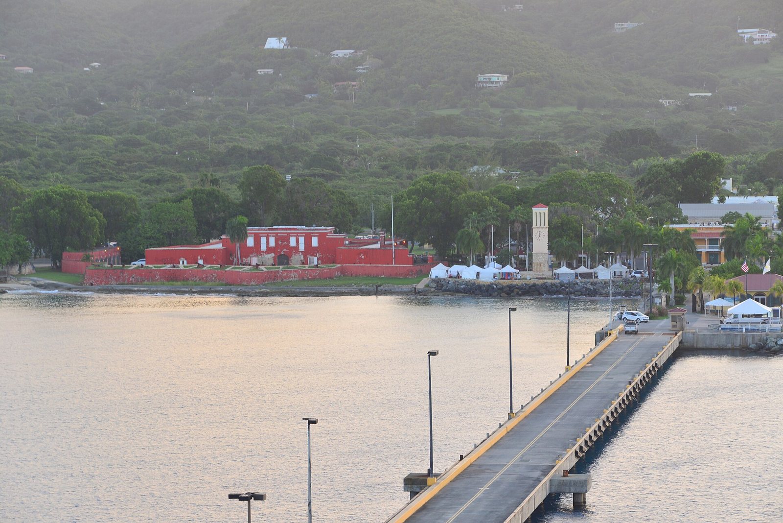
- Frederiksted has Fort Frederik, the red fort built between 1751 and 1760. There, on July 3, 1848, with enslaved people gathered at the fort demanding their freedom, Governor-General Peter von Scholten declared emancipation in the Danish West Indies; the fort is now a museum. The 1,526-foot pier in front of it is a cruise dock and a well-known shore and night dive, known for its seahorses.
Strand St, Frederiksted, St Croix 00840, USVI - panoramio · Андрей Бобровский · CC BY 3.0 · cropped
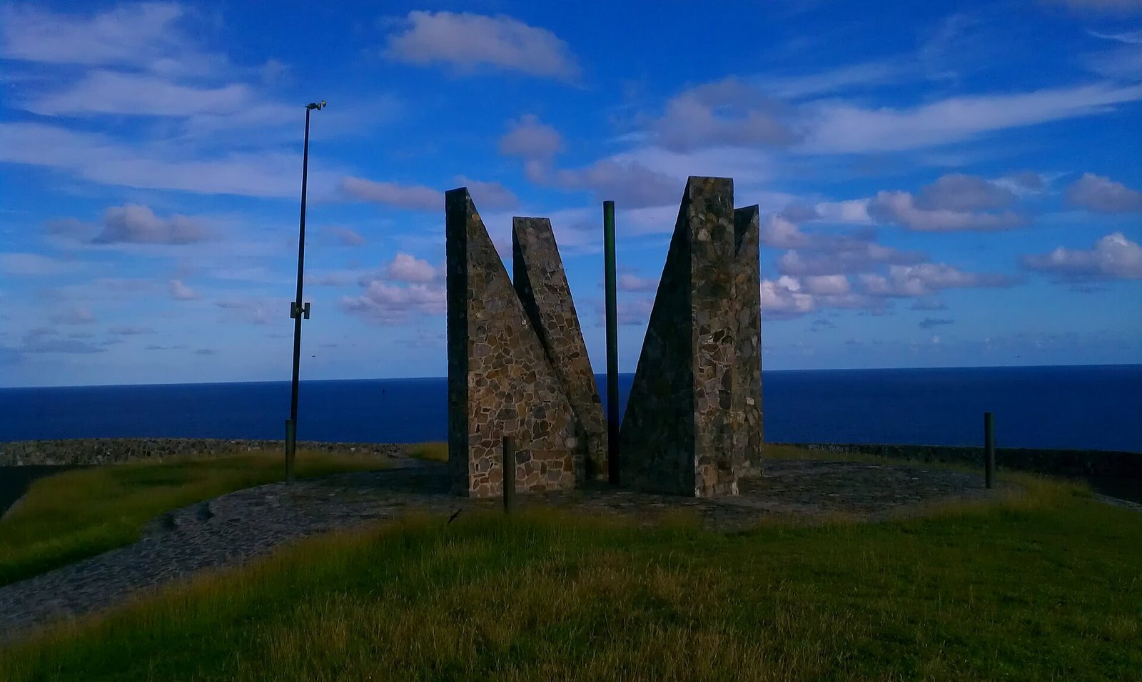
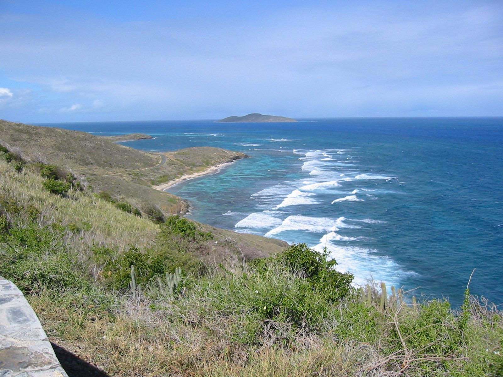
- Point Udall, at the tip of the East End, is usually called the easternmost point of the United States, which holds for places you can reach by road; by longitude the Aleutian Islands win, because they cross the 180th meridian. The Millennium Monument, a sundial built for the year 2000, stands on the headland, and it is the East End's classic sunrise spot.
- Jack and Isaac Bays, near Point Udall, are two undeveloped beaches inside a preserve of about 300 acres that The Nature Conservancy has protected since 1999. There is no road down to them, only a trail, so bring water and proper shoes.
- Salt River Bay National Historical Park and Ecological Preserve, on the North Shore, is where men from Columbus's second voyage came ashore on November 14, 1493, the only documented Columbus landing site on what is now U.S. soil. The mangrove bay is best seen from a kayak, and the night tours of its bioluminescent bay are worth booking.
- Sandy Point National Wildlife Refuge, at the south-west tip, protects one of the most important leatherback turtle nesting beaches under the U.S. flag, a long, wide run of sand that was the setting for the final scene of The Shawshank Redemption. It is open to visitors only on Saturdays and Sundays, from 10 to 4, between September and March.
- Cane Bay, on the North Shore, is the island's best-known beach dive. The wall, where the reef drops away into very deep water, begins a few hundred yards from the sand, and the dive shops nearby rent gear and run guided dives.
- The estates and the rum. Estate Whim Museum, run by the St. Croix Landmarks Society near Frederiksted, is a restored sugar plantation with its great house and windmill; the St. George Village Botanical Garden grows among the ruins of another estate; and the Cruzan distillery, which reopened to visitors in 2024, and the Captain Morgan visitor centre both take visitors by reservation. Stone windmill towers from the sugar era stand all over the island.
Point Udall · Aaron Cortina · CC BY 3.0 · cropped
Where to eat
Crucian cooking, the island's own, is the place to start. Look for johnnycakes, the fried bread that comes with almost everything; pâtés, fried pastries filled with saltfish, beef or chicken; kallaloo, a thick stew of local greens and okra with meat or seafood; and fungi, a cornmeal side cooked with okra. Spit-roasted chicken is a local institution, and La Reine Chicken Shack, on Route 75 in Kingshill in the middle of the island, is the classic stop for it and its johnnycakes. Rum is the island's drink, and both Cruzan and Captain Morgan are distilled here.
Christiansted has the widest choice, from the restaurants and bars on the harbour boardwalk to the bistros a block or two back; Savant, on Hospital Street, has been a dinner standby there since 1998. The East End has fewer tables, which is one reason villa guests often cook or bring in a private chef, but Duggan's Reef, family-run on the water since 1983, is the classic night out, and it takes reservations only. On the North Shore, the beach bars at Cane Bay serve lunch with your feet near the sand, and in Frederiksted the cafés and bars on Strand Street and by the pier are at their best around sunset.
Two habits help. Book ahead for dinner in high season, because many of the best places are small. And check opening days before you drive across the island: hours change with the season, and many restaurants close for a few weeks in September and October.
Good to know
St. Croix is a U.S. territory, so Americans need no passport, pay in dollars and clear customs at the airport on the way home. Traffic drives on the left in left-hand-drive cars, the speed limits are low, and you will want a rental car, booked early for the winter. Buck Island and the Cane Bay wall want your calmest, clearest mornings, so keep those days flexible. Sandy Point opens only at weekends, from September to March. And if you come between August and October, insure the trip, book flexible terms and expect some restaurants to be closed.
Boiler Bay from Point Udall · Dartrider · CC BY-SA 4.0 · cropped
By the numbers
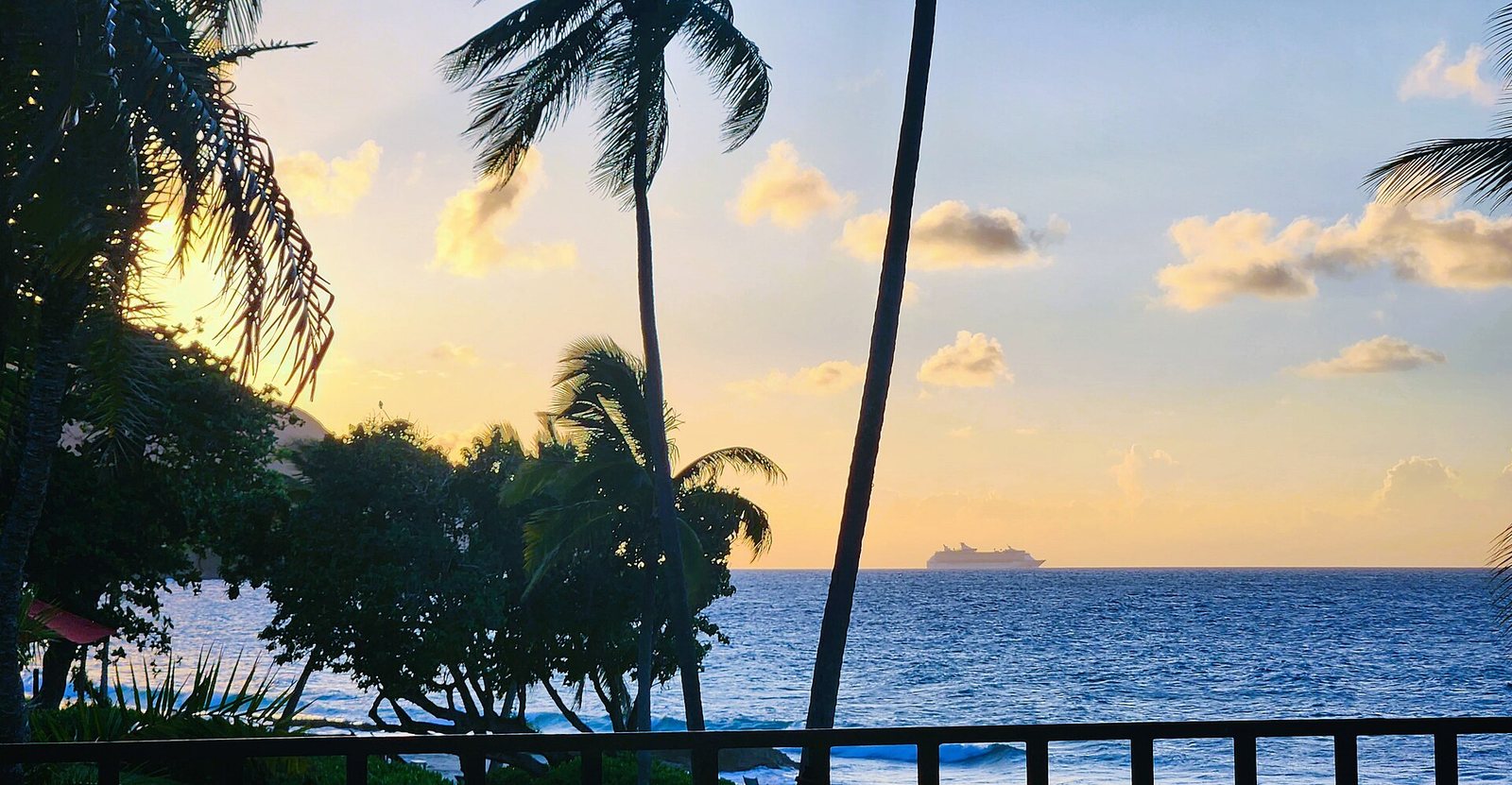
CruiseDeparts20230926 175523 · CaptJayRuffins · CC BY-SA 4.0 · cropped
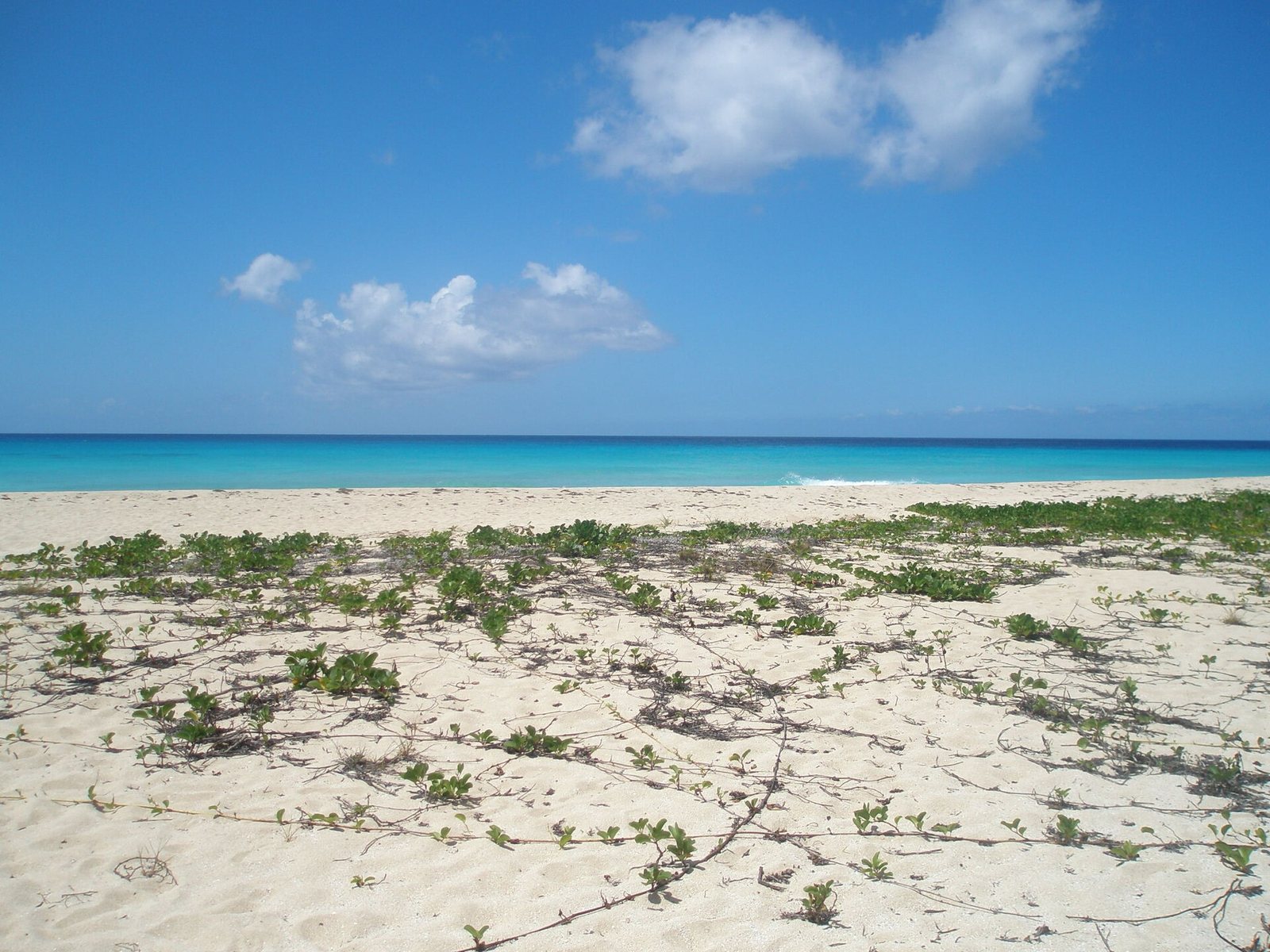
Sandy Point Wildlife Refuge beach · Turn685 · CC BY-SA 3.0 · cropped
Common questions
Do I need a passport for St. Croix?
Not if you are a U.S. citizen travelling from the mainland or Puerto Rico. Bring a REAL ID-compliant driver's licence or another TSA-approved ID. On the way home you clear U.S. Customs at the St. Croix airport, so allow extra time and keep proof of citizenship handy. Visitors from other countries need the same documents as for any trip to the United States.
Which side of the road do you drive on?
The left, in cars with the steering wheel on the left, as on the mainland. It takes a day to get used to. Speed limits are 20 mph in towns, 35 mph on most roads and 55 mph on the Melvin Evans Highway.
Christiansted or the East End?
Christiansted if you want to walk to restaurants and the Buck Island boats and do not mind driving to a beach. The East End if you want a house, a pool and the sea close by, and do not mind driving in for dinner. Groups and families usually do better in an East End villa; couples on a short stay often prefer town.
Is hurricane season a reason not to go?
Not on its own, but it is a reason to plan. The season runs from June 1 to November 30 and peaks from mid-August to mid-October. June, July and November carry less risk; the peak weeks bring the lowest rates and the most uncertainty. Buy insurance that covers storms, book refundable where you can, and watch the National Hurricane Center's forecasts before you travel.
How do I get to Buck Island?
Only on a park-licensed tour boat, from the Christiansted wharf or from Green Cay Marina on the East End. Trips usually combine the underwater snorkel trail with a stop at Turtle Beach. Book ahead in high season, and go on a calm, sunny day, when the water is clearest.
Do I need a car?
Yes. Taxis charge fixed per-person fares, there is no Uber or Lyft, and the beaches, towns and sights are spread around the island. Rent at the airport, and book early for the winter months.
Sources & further reading
- Buck Island Reef National Monument — National Park Service
- Christiansted National Historic Site — National Park Service
- Salt River Bay National Historical Park and Ecological Preserve — National Park Service
- Sandy Point National Wildlife Refuge, visiting hours — U.S. Fish & Wildlife Service
- Estate Whim Museum — St. Croix Landmarks Society
- No passport needed — U.S. Virgin Islands Department of Tourism
- Duty-free exemptions, including the U.S. Virgin Islands — U.S. Customs and Border Protection
- Tropical cyclone climatology — National Hurricane Center
- Hurricane Maria tropical cyclone report — National Hurricane Center
- United's Newark–St. Croix nonstop — USVI Department of Tourism release, June 2026
- Speed limits — Virgin Islands Code, Title 20, §494
- 2020 Census population counts, U.S. Virgin Islands — U.S. Census Bureau
- The Cerulean — the villa's own site