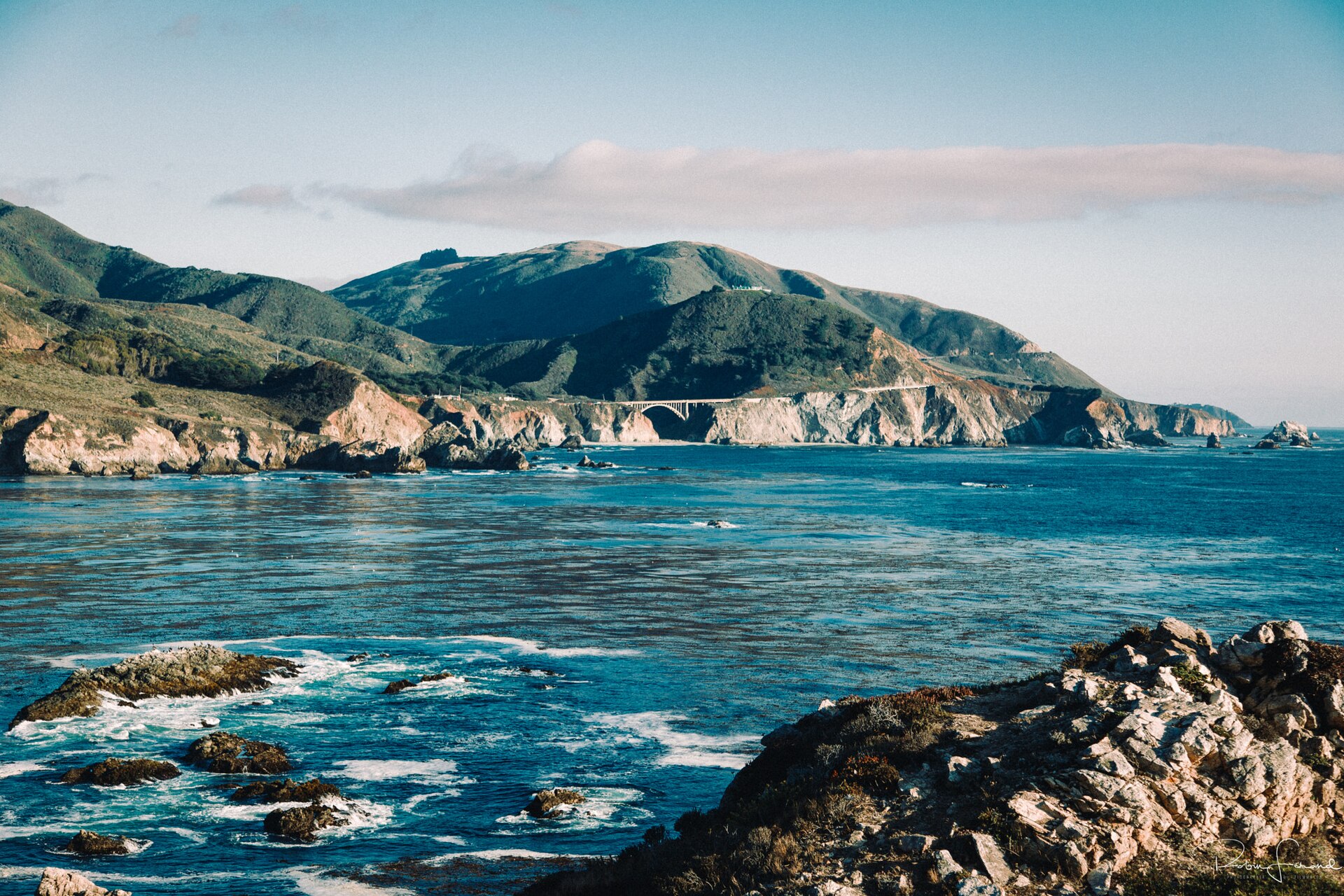
Distance view of Bixby Creek Bridge (204357335) · Robin Férand · CC BY 3.0 · cropped
Big Sur: Driving Highway 1
Highway 1 between Carmel and San Simeon demands preparation; check road status, fuel up, and download maps before setting out.
Big Sur is not a town. It is a ninety-mile stretch of coast between Carmel and San Simeon, where the Santa Lucia Mountains drop straight into the Pacific and Highway 1 clings to the cliffs. This single two-lane road is the only way in and out for most, and its remote nature dictates how you plan a trip here. The road itself is the experience, but it also asks for respect and preparation, particularly in October, when the summer fog has usually gone and the crowds have thinned, offering the clearest stretch of the year.
Once you leave Carmel, the coast operates under its own rules. Fuel is scarce and expensive; there are only a few gas stations on the entire coast, and prices run well above the norm. The standing advice is to fill up in Carmel or Monterey before you head south, and never start down the coast with less than half a tank. Cell signal is patchy to nonexistent for long stretches, meaning you cannot count on navigating live or calling ahead. Download offline maps beforehand to avoid being caught without directions.
The road itself is slow and demanding, with tight curves and long drops. Use the turnouts to let faster cars pass, watch for cyclists, and allow far more time than the mileage suggests. Critically, closures are a standing risk. Landslides and storm damage periodically shut sections of the highway, sometimes for months. Even when the road is open, stretches often run under one-way, signal-controlled traffic while crews repair bridges and slides. This means the road’s status is something to check, never to assume.
Before you travel, and again the morning you set out, consult the Caltrans QuickMap and the Big Sur Chamber of Commerce's Highway 1 conditions page for what is open and where delays might be. This diligence is not optional; a single winter storm can change the picture. This scarcity of reliable infrastructure also shapes accommodation choices. You can book one of the handful of inns strung along the central stretch—months ahead, at a price that matches how few rooms exist—or base in Carmel-by-the-Sea, about forty-five minutes north, where there are far more rooms at saner rates, and drive in for the day.
Treat Highway 1 as remote, because it is. Beyond filling the tank and loading your maps, carry water, snacks, and a little cash; the day-use fee at Pfeiffer Beach, for instance, is cash-only. Build in slack for your journey; one-way controls, slow drivers, and the winding road all consume time. Do not schedule a tight flight connection on the day you leave this coast. The road is the point, not merely a means to an end.
From Vol. 1 · No. 10 · October 2025, The Coast-Road Issue. The cover story is Where to Stay in Big Sur. Details change; confirm specifics with the property before you travel.
More from the column
-
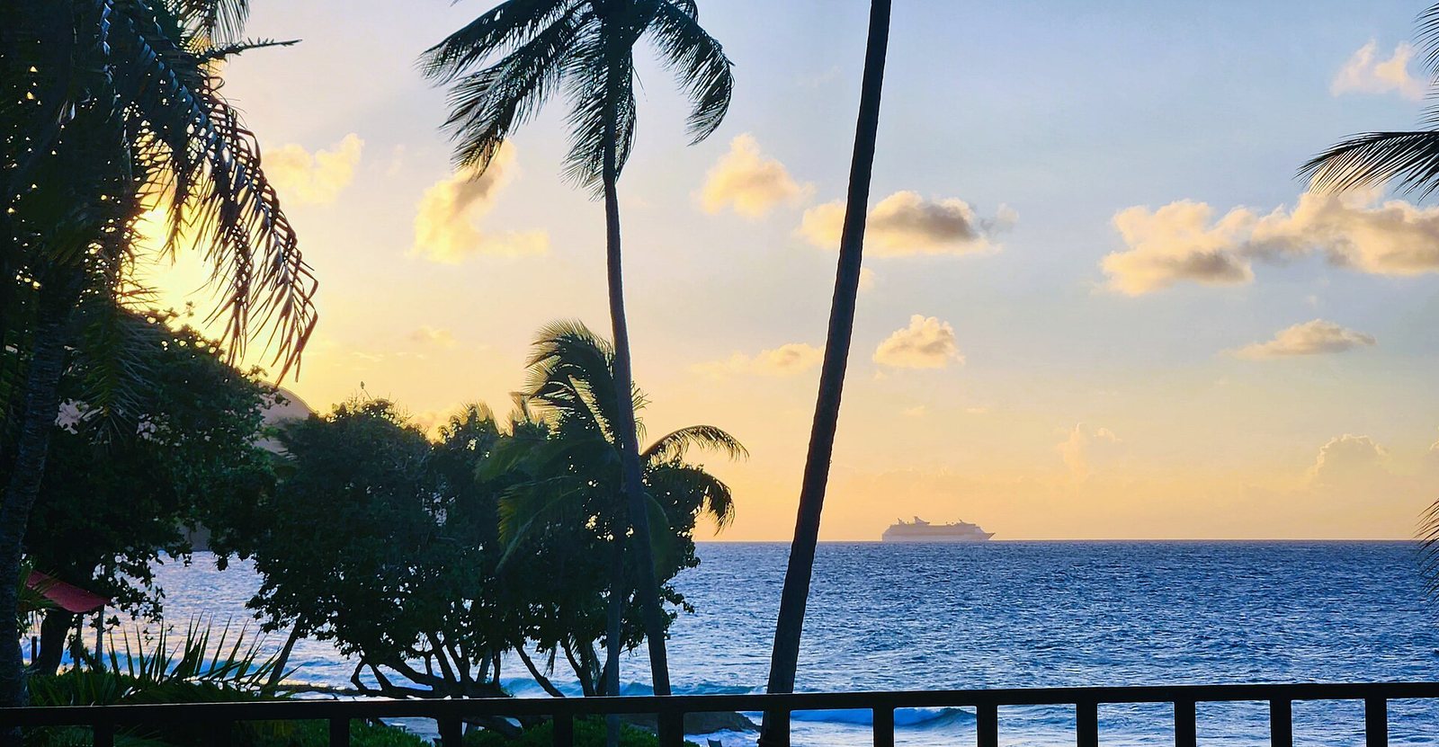 CruiseDeparts20230926 175523 · CaptJayRuffins · CC BY-SA 4.0 · cropped
St. Croix · Vol. 2 · No. 10 · October 2026
St. Croix Arrivals and Roads
Getting to St. Croix is simple for U.S. citizens, but navigating the island requires a rental car and an understanding of its unique driving rules.
CruiseDeparts20230926 175523 · CaptJayRuffins · CC BY-SA 4.0 · cropped
St. Croix · Vol. 2 · No. 10 · October 2026
St. Croix Arrivals and Roads
Getting to St. Croix is simple for U.S. citizens, but navigating the island requires a rental car and an understanding of its unique driving rules.
-
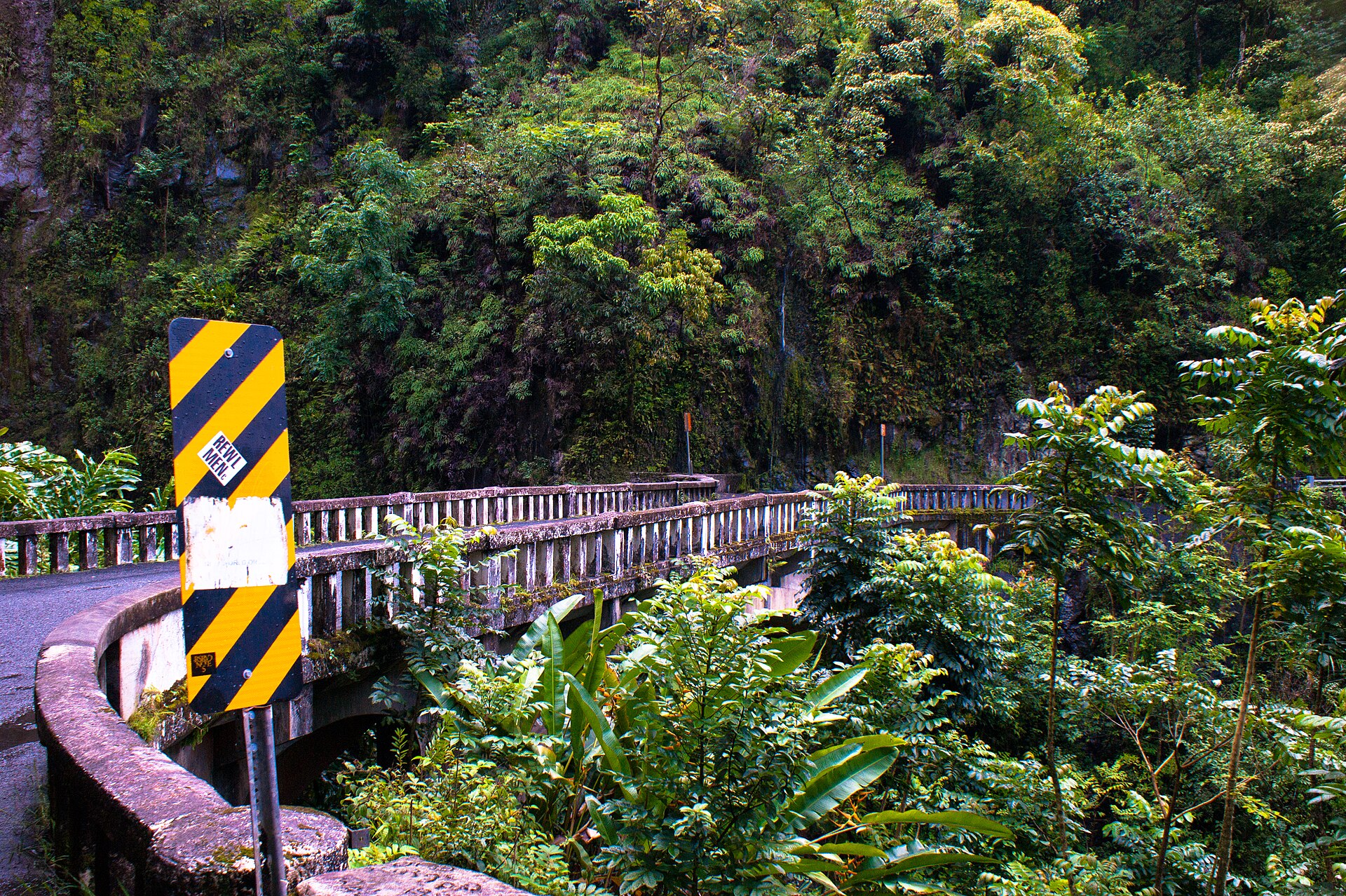 Bridge on Hana Highway · Jonathanking · CC BY-SA 3.0 · cropped
Maui · Vol. 2 · No. 08 · August 2026
Maui: Kahului, Then a Car
Arriving on Maui means a flight to Kahului, followed by an essential rental car for getting around the island.
Bridge on Hana Highway · Jonathanking · CC BY-SA 3.0 · cropped
Maui · Vol. 2 · No. 08 · August 2026
Maui: Kahului, Then a Car
Arriving on Maui means a flight to Kahului, followed by an essential rental car for getting around the island.
-
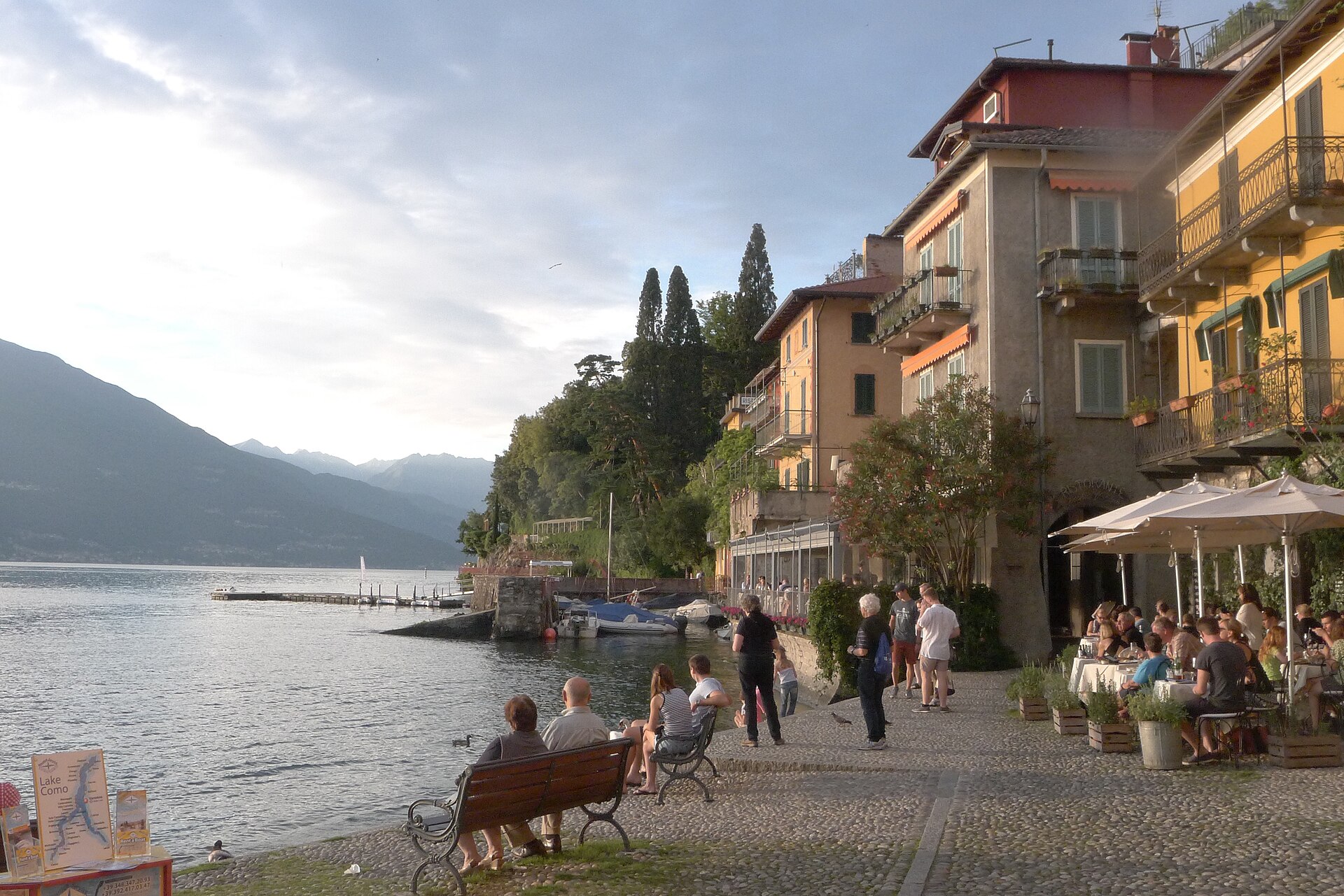 Varenna Italy, waterfront at sunset · Jmatazzoni · CC BY-SA 4.0 · cropped
Lake Como · Vol. 2 · No. 07 · July 2026
Getting Around Lake Como by Boat
Forget the narrow roads; basing in the mid-lake and using the frequent car and passenger ferries turns travel into pleasure.
Varenna Italy, waterfront at sunset · Jmatazzoni · CC BY-SA 4.0 · cropped
Lake Como · Vol. 2 · No. 07 · July 2026
Getting Around Lake Como by Boat
Forget the narrow roads; basing in the mid-lake and using the frequent car and passenger ferries turns travel into pleasure.
-
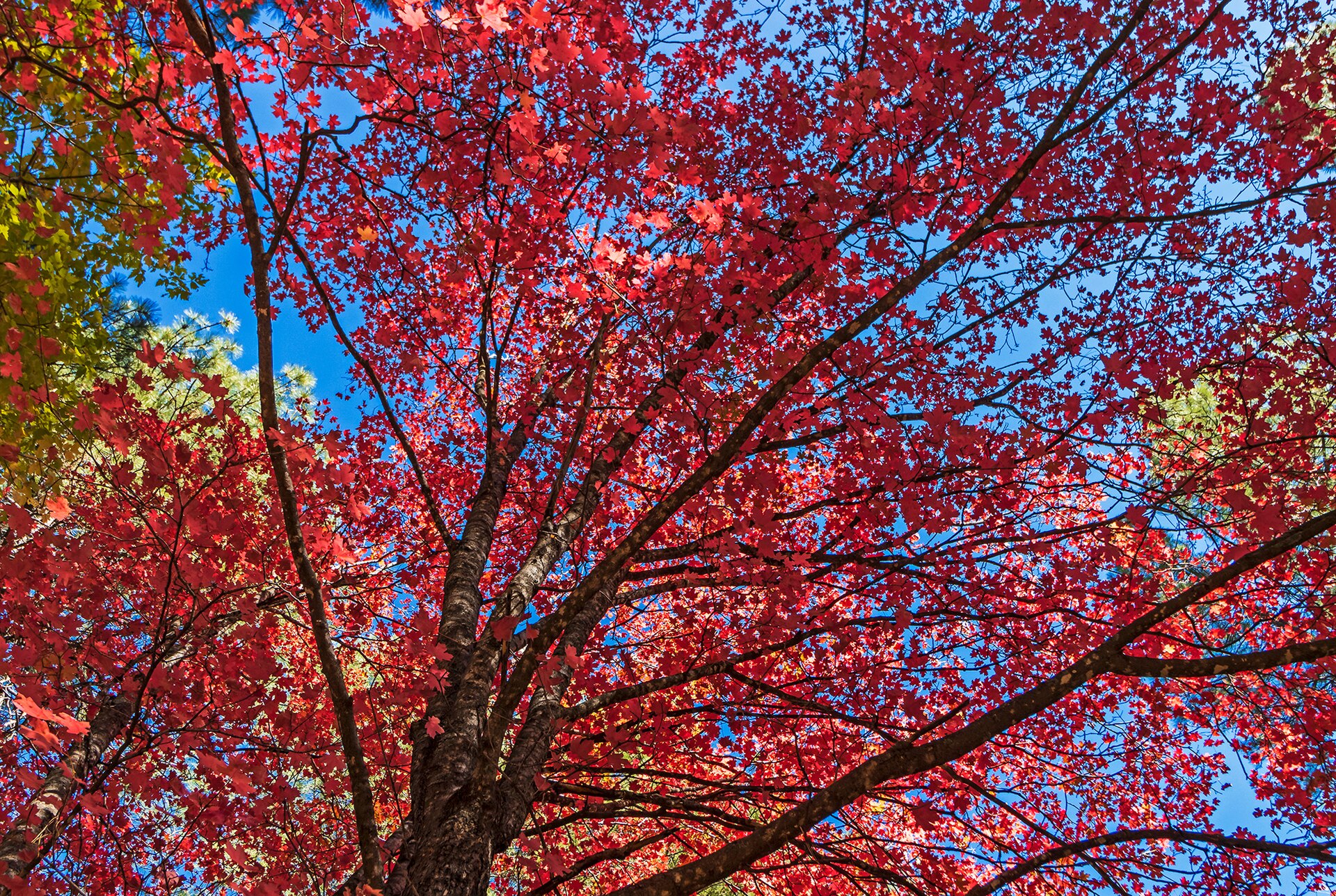 Vibrant Fall Colors In Oak Creek Canyon · Ray Redstone · CC BY-SA 4.0 · cropped
Sedona · Vol. 2 · No. 04 · April 2026
Phoenix, Car, Shuttle to Sedona
Most visitors fly into Phoenix Sky Harbor, rent a car, and then navigate Sedona's trailheads with a mix of driving and the free city shuttle.
Vibrant Fall Colors In Oak Creek Canyon · Ray Redstone · CC BY-SA 4.0 · cropped
Sedona · Vol. 2 · No. 04 · April 2026
Phoenix, Car, Shuttle to Sedona
Most visitors fly into Phoenix Sky Harbor, rent a car, and then navigate Sedona's trailheads with a mix of driving and the free city shuttle.
The columns, every month.
One considered letter when a new issue lands: the cover story, the four columns, and the month's news.
Comments