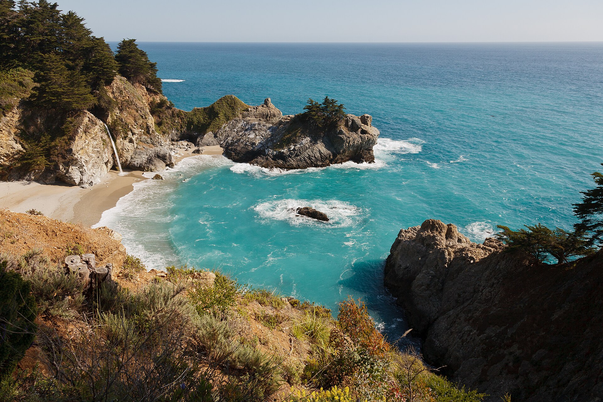
McWay Falls Big Sur May 2011 005 · King of Hearts · CC BY-SA 3.0 · cropped
Big Sur's Coastal Viewpoints
Two iconic pull-offs on Highway 1 are worth timing for the perfect light, from a waterfall onto sand to a keyhole rock.
October on the Big Sur coast is when the light goes long, the summer fog has usually cleared, and the crowds have thinned. This ninety-mile stretch of Highway 1, between Carmel-by-the-Sea and San Simeon, is not a town with a centre, but a ribbon of road clinging to cliffs where the Santa Lucia Mountains meet the Pacific. Most of the land is protected, meaning services are scarce and planning is essential. While the drive itself is the main event, two specific pull-offs reward precise timing, offering views that define the coast's visual power.
The first is McWay Falls, located within Julia Pfeiffer Burns State Park. This is the image many visitors seek: an eighty-foot waterfall that drops directly onto the sand of a small cove. A short, mostly level overlook trail leads to the classic viewing point; the cove itself is not accessible, and attempts to reach it are unsafe. For the clearest colour of the water, midday is the time to aim for, when the sun is directly on the cove. It is worth noting that the overlook trail has periodically closed for repairs to its retaining wall, so confirming its status before arrival is prudent.
Further south, Pfeiffer Beach offers a different kind of visual reward, one best experienced as the day wanes. This day-use beach is accessed via Sycamore Canyon Road, a narrow, easily missed turn-off from Highway 1. The road is too tight for RVs and trailers, and its small car park fills early, often requiring a cash-only day-use fee. The draw here is the sand, tinted purple by minerals from the surrounding hills, and Keyhole Rock, an offshore arch. The low sun of late afternoon, particularly in winter, lines up dramatically behind this arch, creating the effect that makes it famous. This is the stop to time for the end of the day.
These stops, like all excursions on this remote coast, demand a practical approach. Highway 1 is a two-lane road with tight curves and long drops, and it is prone to closures from landslides and storm damage, sometimes for months. Always check the Caltrans QuickMap and the Big Sur Chamber of Commerce’s Highway 1 conditions page before committing to a drive, and again the morning of your trip. Cell signal is patchy to nonexistent for long stretches, so download offline maps. Fuel is scarce and expensive; fill your tank in Carmel-by-the-Sea or Monterey before heading south, and never start with less than half a tank.
Given the limitations, planning is not just advisable but necessary. Whether you base in Carmel-by-the-Sea, about forty-five minutes north, or secure one of the few, expensive rooms on the coast itself, understanding the rhythm of Big Sur is key. October is the clearest stretch of the year, with fewer crowds than summer and less storm risk than winter, making it ideal for chasing these specific moments of light. The reward for this preparation is an encounter with a coastline unlike any other, where the drive itself is part of the destination, and certain views etch themselves into memory.
From Vol. 1 · No. 10 · October 2025, The Coast-Road Issue. The cover story is Where to Stay in Big Sur. Details change; confirm specifics with the property before you travel.
More from the column
-
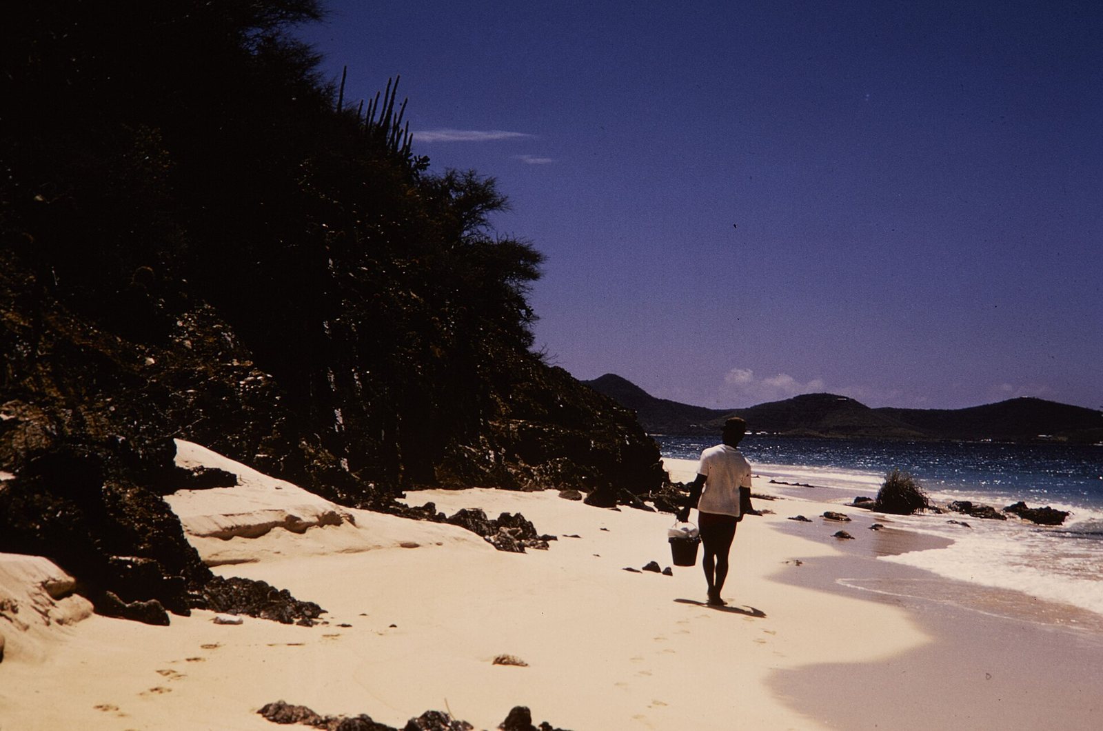 St. Croix · Vol. 2 · No. 10 · October 2026
Buck Island: St. Croix’s Reef Monument
A boat trip to Buck Island Reef National Monument offers an underwater snorkel trail and a stop at Turtle Beach.
St. Croix · Vol. 2 · No. 10 · October 2026
Buck Island: St. Croix’s Reef Monument
A boat trip to Buck Island Reef National Monument offers an underwater snorkel trail and a stop at Turtle Beach.
-
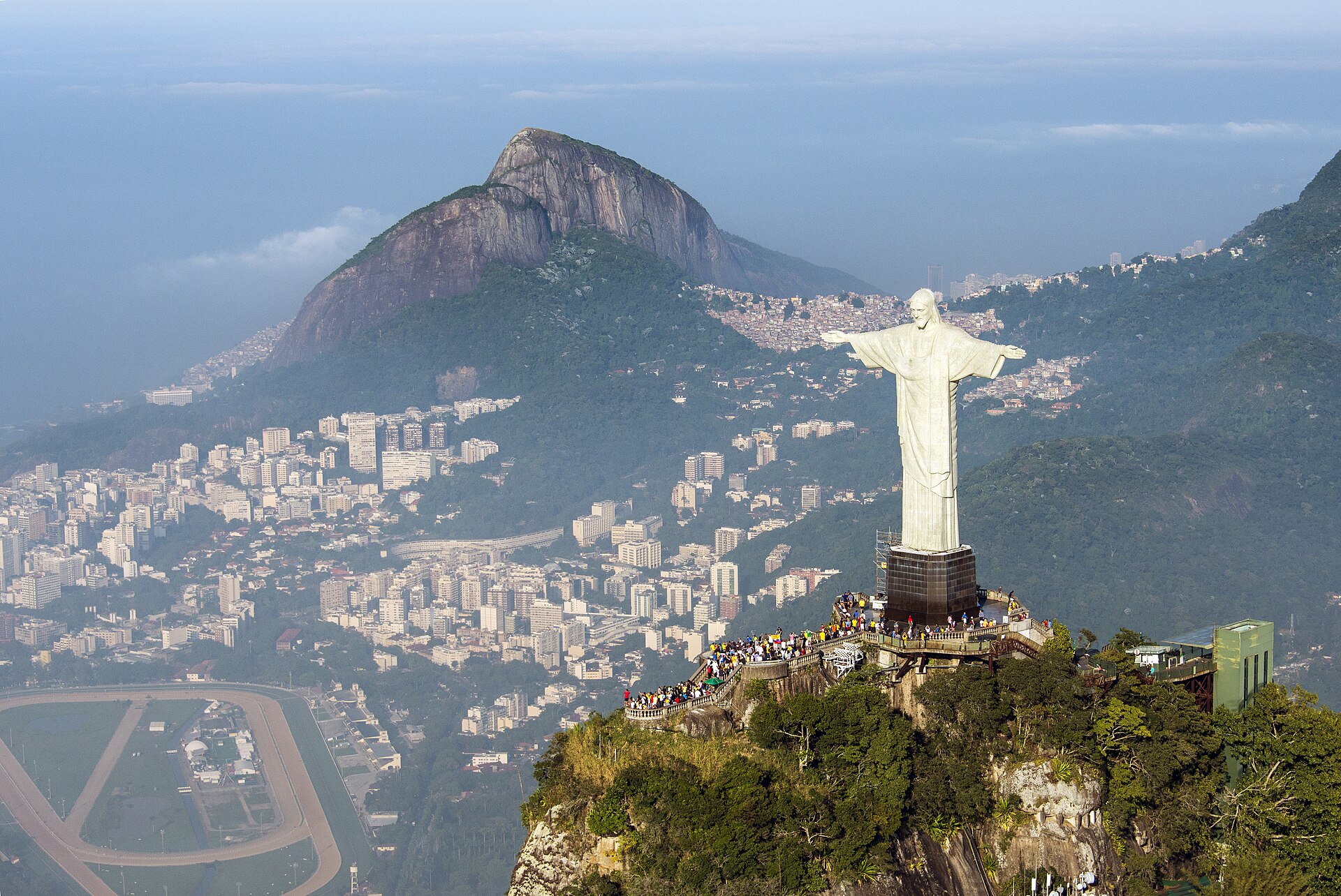 1 cristor redentor 2014 · Chensiyuan · CC BY-SA 4.0 · cropped
Rio de Janeiro · Vol. 2 · No. 09 · September 2026
Rio's Clear-Day Ascents
Plan two essential Rio climbs around the weather for views of the city and coast.
1 cristor redentor 2014 · Chensiyuan · CC BY-SA 4.0 · cropped
Rio de Janeiro · Vol. 2 · No. 09 · September 2026
Rio's Clear-Day Ascents
Plan two essential Rio climbs around the weather for views of the city and coast.
-
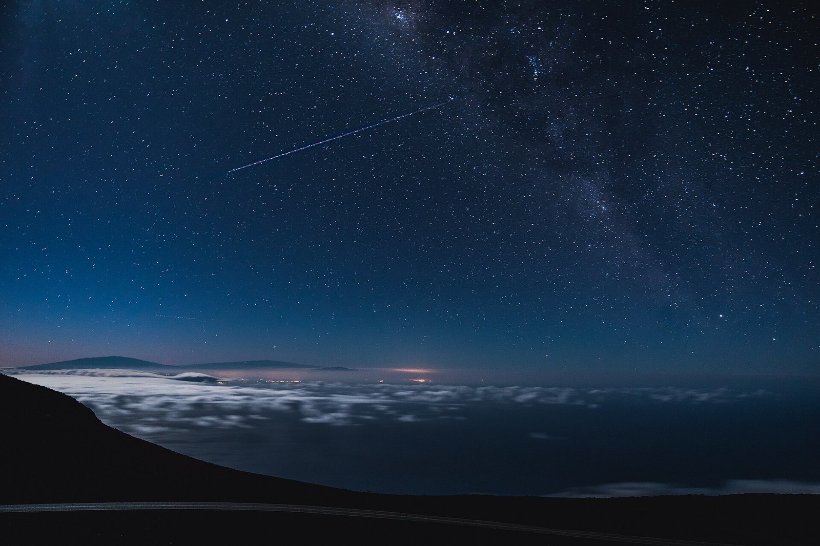 Maui · Vol. 2 · No. 08 · August 2026
Maui's Two Big Drives
Maui's two signature drives, Haleakalā's summit and the Road to Hāna, are full days out, each requiring early starts and a full tank.
Maui · Vol. 2 · No. 08 · August 2026
Maui's Two Big Drives
Maui's two signature drives, Haleakalā's summit and the Road to Hāna, are full days out, each requiring early starts and a full tank.
-
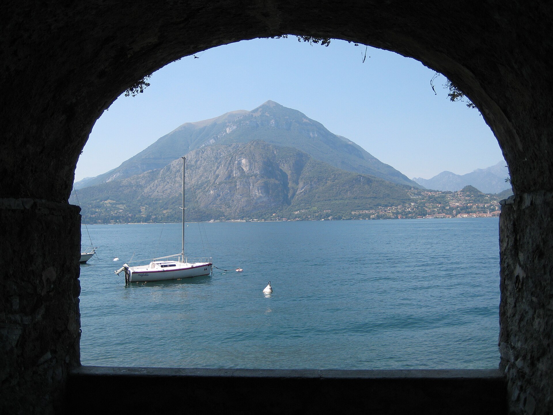 Lake Como from Varenna 01 · Aconcagua · CC BY-SA 3.0 · cropped
Lake Como · Vol. 2 · No. 07 · July 2026
Western Shore Gardens
Leaving your base for a boat day to Villa del Balbianello and Villa Carlotta reveals the cultivated beauty of Lake Como's western shore.
Lake Como from Varenna 01 · Aconcagua · CC BY-SA 3.0 · cropped
Lake Como · Vol. 2 · No. 07 · July 2026
Western Shore Gardens
Leaving your base for a boat day to Villa del Balbianello and Villa Carlotta reveals the cultivated beauty of Lake Como's western shore.
The columns, every month.
One considered letter when a new issue lands: the cover story, the four columns, and the month's news.
Comments