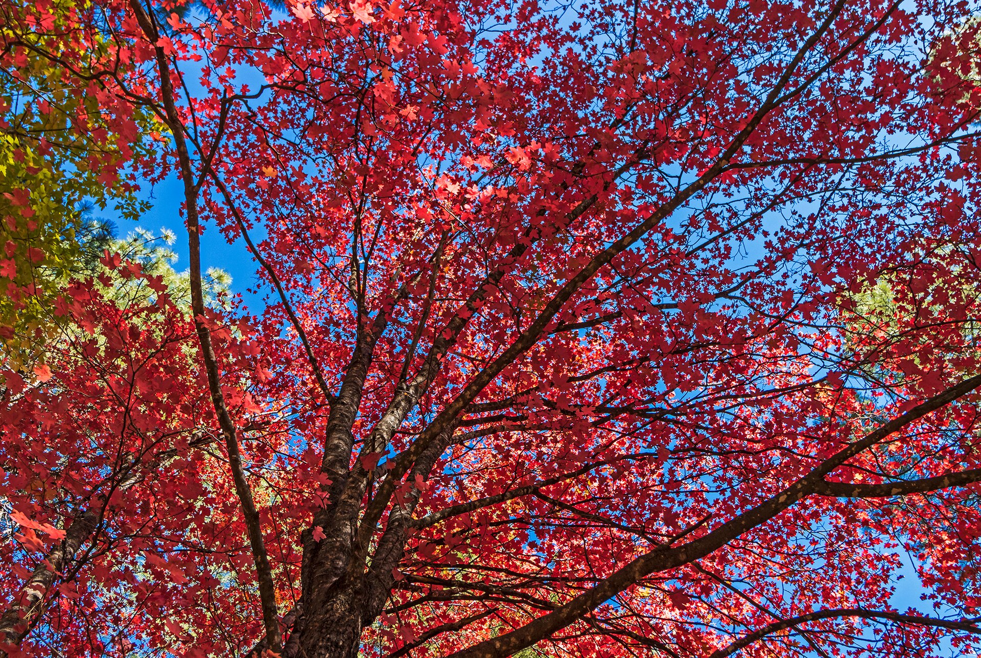
Vibrant Fall Colors In Oak Creek Canyon · Ray Redstone · CC BY-SA 4.0 · cropped
Phoenix, Car, Shuttle to Sedona
Most visitors fly into Phoenix Sky Harbor, rent a car, and then navigate Sedona's trailheads with a mix of driving and the free city shuttle.
Getting to Sedona often means flying into Phoenix Sky Harbor, about 120 miles and a two-hour drive south. That route takes one via Interstate 17 and State Route 179 up to the red rock country. A smaller alternative is Flagstaff’s airport, about forty-five minutes north up Oak Creek Canyon on State Route 89A, though flights there are fewer and can be pricier. Whichever airport one chooses, a car is essential for time in Sedona. The town sits at about 4,350 feet, spread thin along two highways that meet at a junction locals call the Y, and its sights and trailheads are scattered across the surrounding Coconino National Forest. There is no comprehensive town bus system, and day trips are hours apart, making a rental vehicle a practical necessity.
Once one has that car, the key is understanding how to use it, and when to leave it. The popular trailhead lots fill soon after sunrise in spring and fall, and the two-lane highways can bunch up at midday. This is where the free Sedona Shuttle becomes useful. It runs routes to five of the busiest trailheads: Cathedral Rock, Little Horse, Soldier Pass, Dry Creek Vista, and Mescal. You park at dedicated park-and-ride lots—Posse Grounds, one on North 179, and another on West 89A—and the shuttle takes you the rest of the way.
The shuttle operates year-round, generally Thursday through Sunday, with expanded seven-day service during spring break and some holidays. It is more than just a convenience; at the busiest trailheads, including Cathedral Rock and Soldier Pass, the small lots close to private cars while the shuttle is running. This means that during peak hours, the shuttle is effectively the only way to access these particular spots. For Devil’s Bridge, which is the largest natural sandstone arch in the area and a very popular hike, one can reach it on foot from the Dry Creek Vista or Mescal shuttle stops.
Beyond the shuttle routes, most National Forest trailheads require a Red Rock Pass displayed on the dash. This can be a daily, weekly, or annual pass. If you already hold a federal America the Beautiful interagency pass, that is accepted in its place. Passes can be bought online through Recreation.gov, at ranger district and visitor centers, or from machines at some trailheads. It is worth noting that this pass covers Forest Service parking only; state parks like Slide Rock and a few day-use sites, such as Crescent Moon at Red Rock Crossing, charge their own separate fees not covered by the Red Rock Pass.
Whatever the plans, starting early is the best strategy. The popular lots and the shuttle both fill soon after sunrise in spring and fall, beating the heat and the crowds in one move. Midday is better spent driving, dining, or exploring shops. Shuttle days and routes can shift with the season, so always check the current schedule before relying on it to get to a trailhead. This preparation will ensure you spend your time on the trails and not in traffic or searching for parking.
From Vol. 2 · No. 04 · April 2026, The Red Rock Issue. The cover story is Where to Stay in Sedona. Details change; confirm specifics with the property before you travel.
More from the column
-
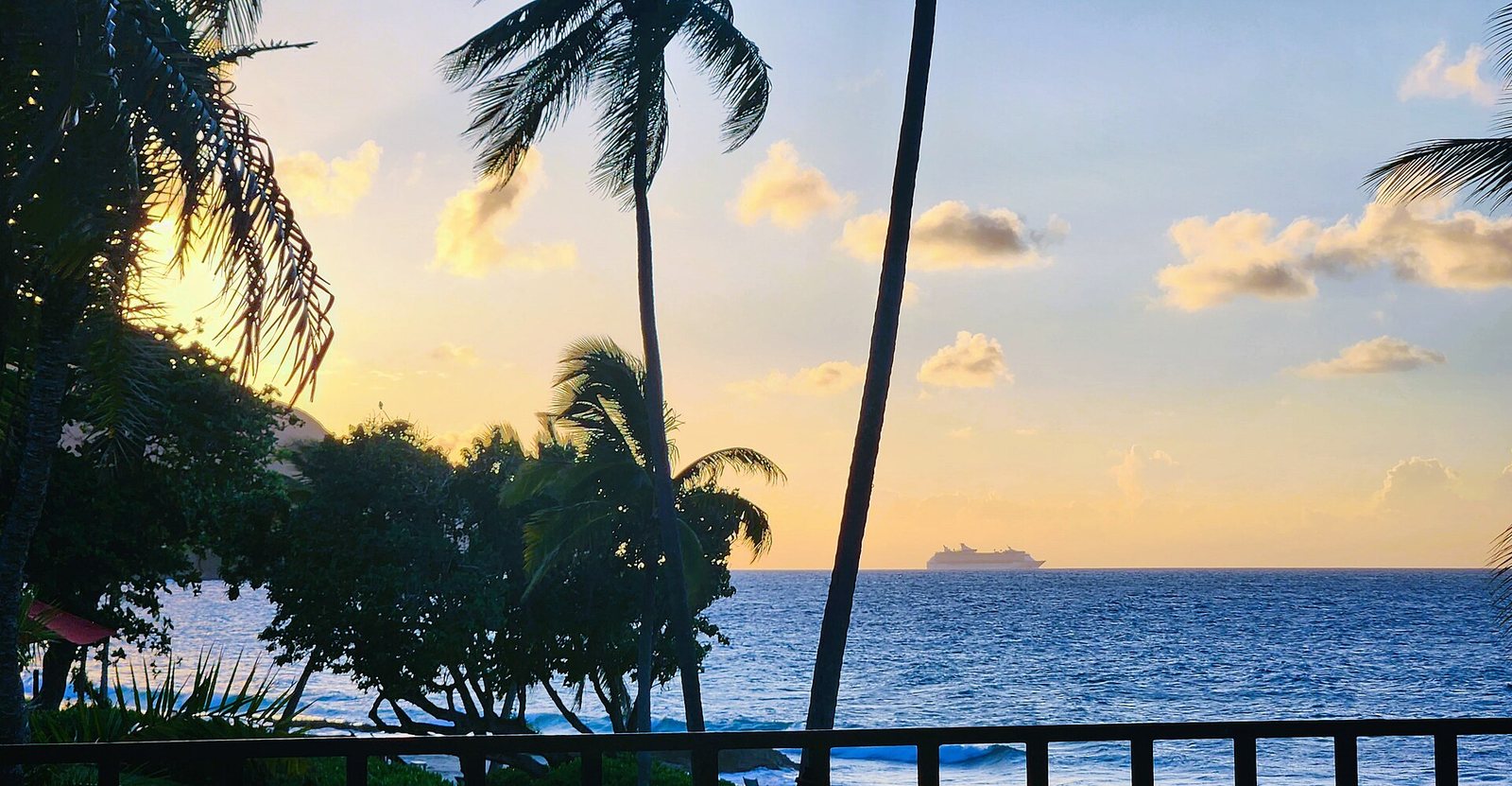 CruiseDeparts20230926 175523 · CaptJayRuffins · CC BY-SA 4.0 · cropped
St. Croix · Vol. 2 · No. 10 · October 2026
St. Croix Arrivals and Roads
Getting to St. Croix is simple for U.S. citizens, but navigating the island requires a rental car and an understanding of its unique driving rules.
CruiseDeparts20230926 175523 · CaptJayRuffins · CC BY-SA 4.0 · cropped
St. Croix · Vol. 2 · No. 10 · October 2026
St. Croix Arrivals and Roads
Getting to St. Croix is simple for U.S. citizens, but navigating the island requires a rental car and an understanding of its unique driving rules.
-
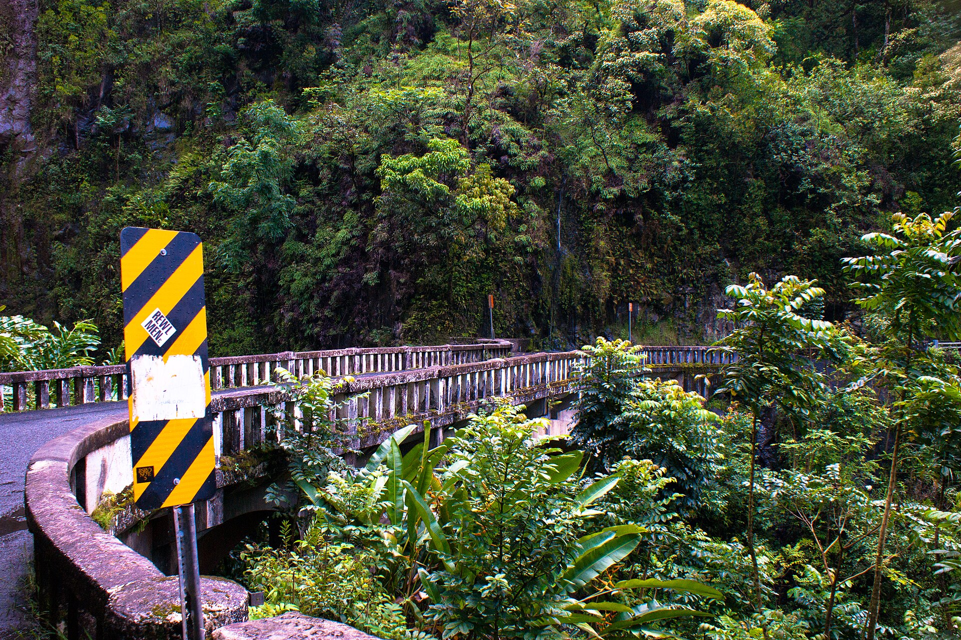 Bridge on Hana Highway · Jonathanking · CC BY-SA 3.0 · cropped
Maui · Vol. 2 · No. 08 · August 2026
Maui: Kahului, Then a Car
Arriving on Maui means a flight to Kahului, followed by an essential rental car for getting around the island.
Bridge on Hana Highway · Jonathanking · CC BY-SA 3.0 · cropped
Maui · Vol. 2 · No. 08 · August 2026
Maui: Kahului, Then a Car
Arriving on Maui means a flight to Kahului, followed by an essential rental car for getting around the island.
-
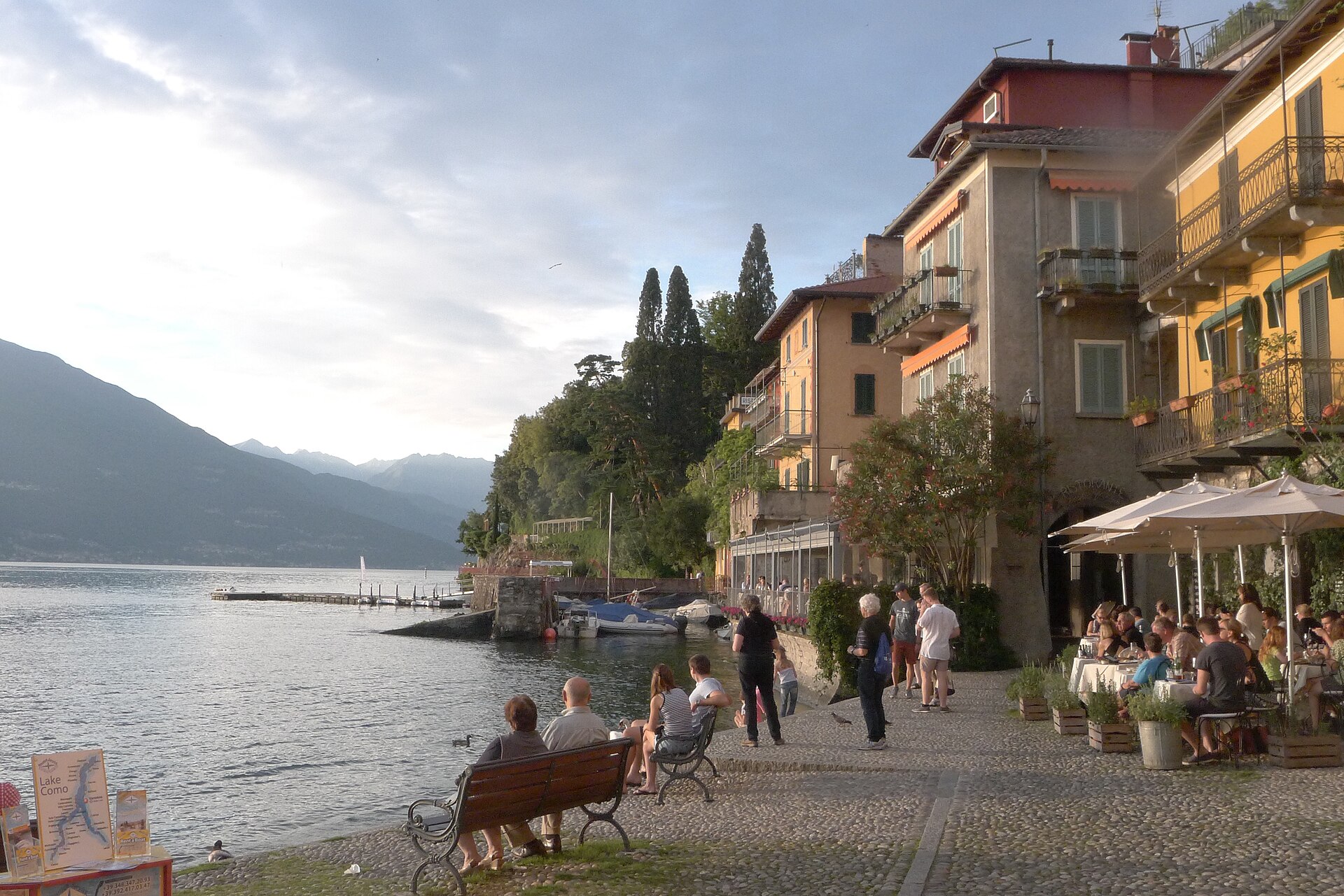 Varenna Italy, waterfront at sunset · Jmatazzoni · CC BY-SA 4.0 · cropped
Lake Como · Vol. 2 · No. 07 · July 2026
Getting Around Lake Como by Boat
Forget the narrow roads; basing in the mid-lake and using the frequent car and passenger ferries turns travel into pleasure.
Varenna Italy, waterfront at sunset · Jmatazzoni · CC BY-SA 4.0 · cropped
Lake Como · Vol. 2 · No. 07 · July 2026
Getting Around Lake Como by Boat
Forget the narrow roads; basing in the mid-lake and using the frequent car and passenger ferries turns travel into pleasure.
-
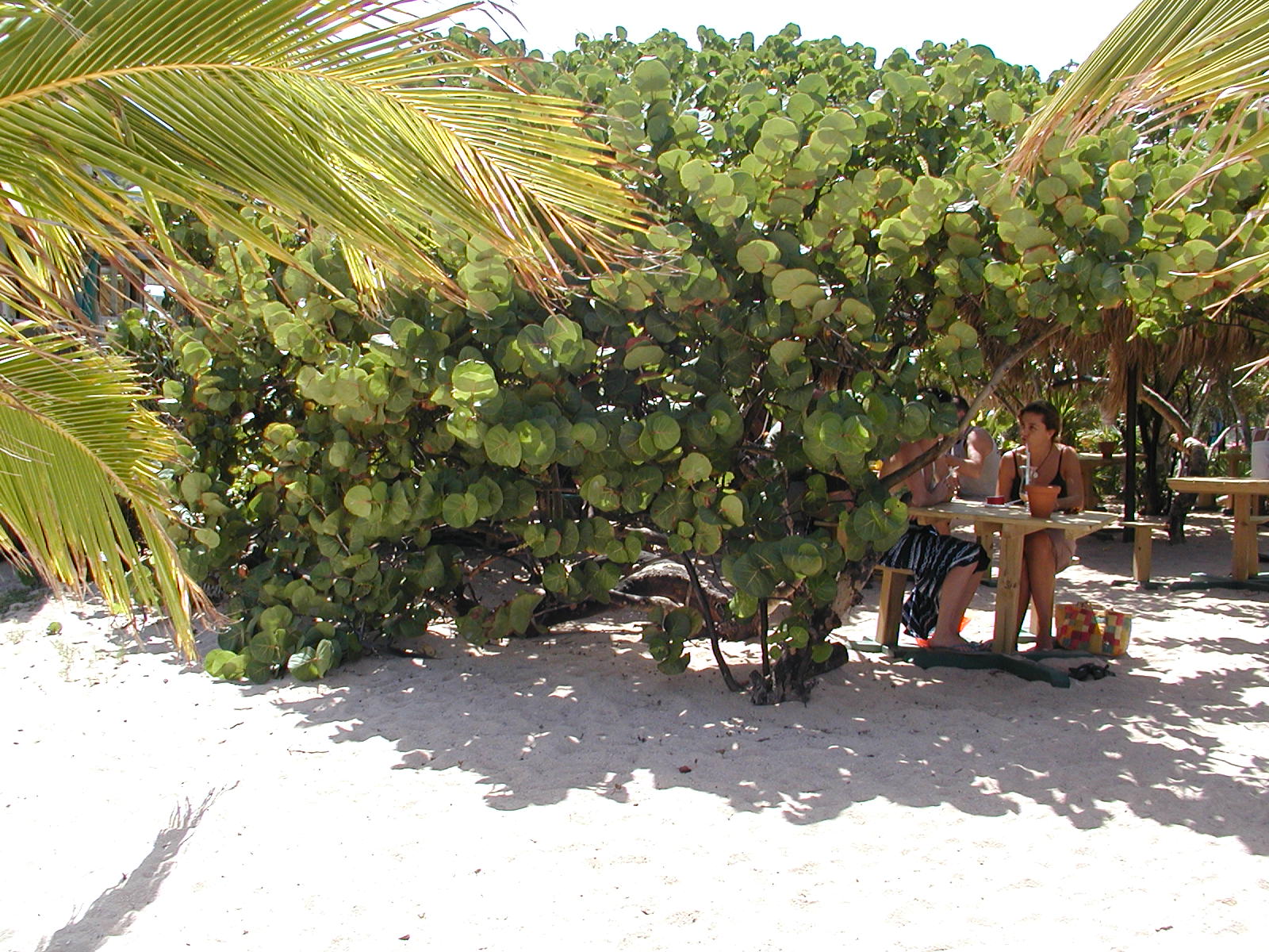 St. Barts Baie de Saint-Jean vegetation · Mike Schinkel · CC BY 2.0 · cropped
St. Barths · Vol. 1 · No. 12 · December 2025
St. Barth Arrival: Via St Maarten
Connecting through Sint Maarten is the primary way to reach St. Barth, either by a short flight or a ferry across the water.
St. Barts Baie de Saint-Jean vegetation · Mike Schinkel · CC BY 2.0 · cropped
St. Barths · Vol. 1 · No. 12 · December 2025
St. Barth Arrival: Via St Maarten
Connecting through Sint Maarten is the primary way to reach St. Barth, either by a short flight or a ferry across the water.
The columns, every month.
One considered letter when a new issue lands: the cover story, the four columns, and the month's news.